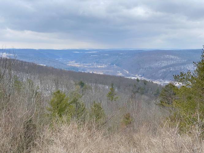
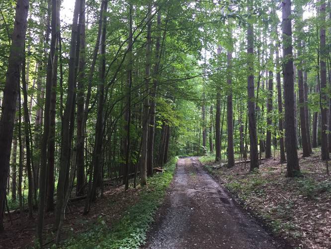
2.0 mi Easy Loop Add to Trailmix: Log in to create a Trailmix What are Trailmixes? Pinnacle Golf Loop Addison, New York 0
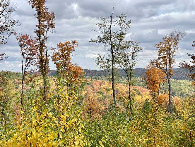
1.2 mi Moderate Out-and-Back Add to Trailmix: Log in to create a Trailmix What are Trailmixes? Jax's Vista Wellsboro, Pennsylvania 0
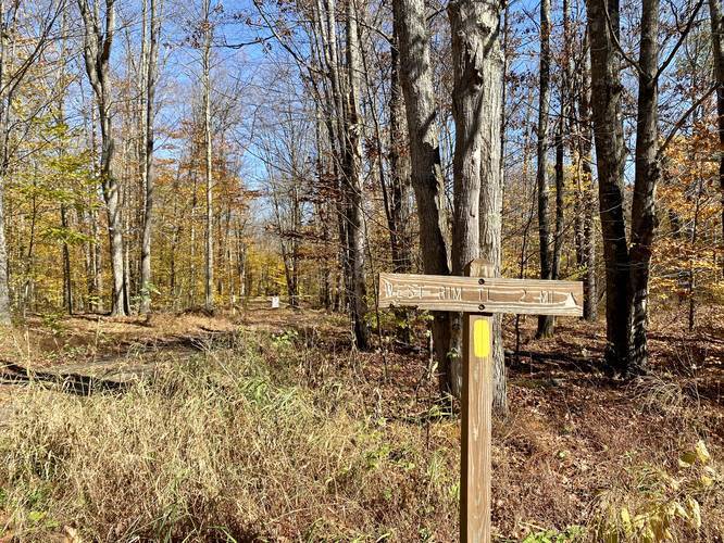
0.5 mi Easy Out-and-Back Add to Trailmix: Log in to create a Trailmix What are Trailmixes? West Rim Logging Connector Trail Blackwell, Pennsylvania 0
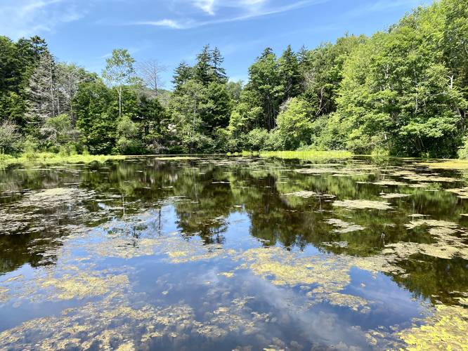
0.1 mi Easy Out-and-Back Add to Trailmix: Log in to create a Trailmix What are Trailmixes? Ice Pond Peaks Island, Maine 0
0.1 mi Easy One-Way Add to Trailmix: Log in to create a Trailmix What are Trailmixes? Leonard Harrison Service Road Trail Wellsboro, Pennsylvania 0
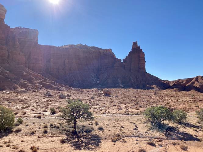
0.4 mi Easy Out-and-Back Add to Trailmix: Log in to create a Trailmix What are Trailmixes? Chimney Rock View Fruita, Utah 0
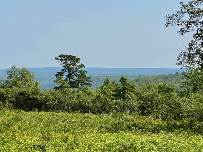
0.0 mi Easy Out-and-Back Add to Trailmix: Log in to create a Trailmix What are Trailmixes? Trout Run View Slate Run, Pennsylvania 0
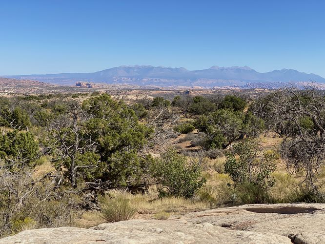
0.1 mi Easy Out-and-Back Add to Trailmix: Log in to create a Trailmix What are Trailmixes? Plateau Viewpoint Moab, Utah 0
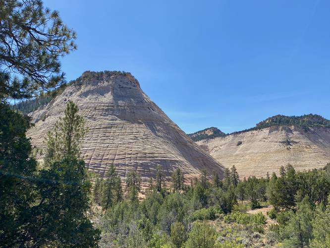
0.0 mi Easy Out-and-Back Add to Trailmix: Log in to create a Trailmix What are Trailmixes? Checkerboard Mesa Viewpoint Springdale, Utah 0
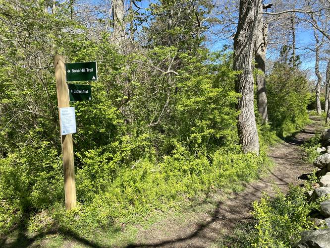
0.2 mi Easy One-Way Add to Trailmix: Log in to create a Trailmix What are Trailmixes? Lichen Trail Barnstable, Massachusetts 0
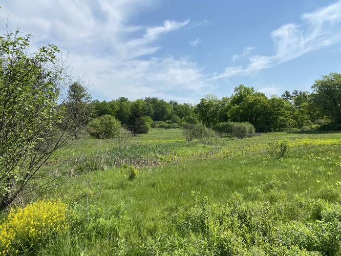
0.2 mi Easy Out-and-Back Add to Trailmix: Log in to create a Trailmix What are Trailmixes? ADA Trail York, Maine 0
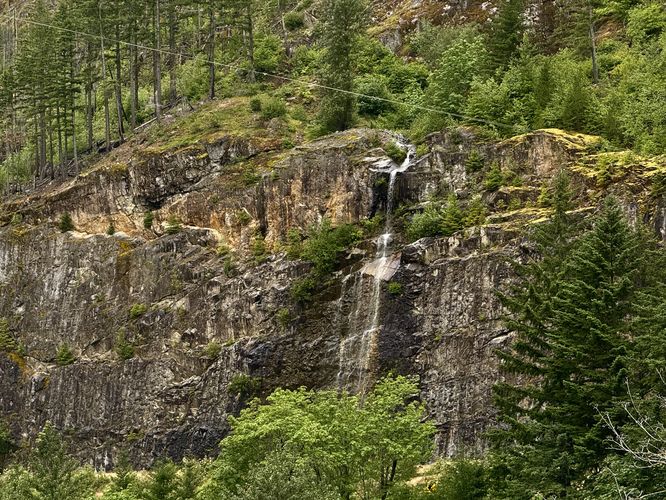
0.0 mi Easy Out-and-Back Add to Trailmix: Log in to create a Trailmix What are Trailmixes? Newhalem Waterfall Lookout Newhalem, Washington 0