ADA Trail
This universal access trail begins at the parking lot and follows the sidewalk and gravel path down to the viewing platform. The elevation change is minimal, but the way back is a small uphill climb.
Parking
Hikers will find parking at the coordinates provided.
Pets
Dogs are allowed if leashed and their waste must be carried out by the hiker.
Know Before You Go
Interactive topographic map for ADA Trail located in York, ME. Click the "View Map" button to load GPS coordinates and trail markers.
View map
Get directions
- Distance
- 0.2 mi
- Difficulty
- Easy
- Type
- Out-and-Back
- Est. Time
- 6 min
- Elev. Gain
- 0'
- Rating
- 0.0
- Added
- August 05, 2021
- Updated
- August 05, 2021
Weather Forecast
This Afternoon
High
70°F
Sunny
Tonight
Low
62°F
Partly Cloudy then Patchy Fog
Saturday
High
71°F
Patchy Fog then Mostly Sunny
Saturday Night
Low
65°F
Mostly Cloudy
Sunday
High
73°F
Partly Sunny
Sunday Night
Low
65°F
Mostly Cloudy then Chance Rain Showers
Monday
High
72°F
Rain Showers Likely
Monday Night
Low
65°F
Showers And Thunderstorms Likely
Tuesday
High
73°F
Chance Rain Showers
Tuesday Night
Low
64°F
Slight Chance Rain Showers
Wednesday
High
74°F
Chance Rain Showers
Wednesday Night
Low
67°F
Chance Rain Showers
Thursday
High
75°F
Chance Showers And Thunderstorms
Thursday Night
Low
67°F
Chance Showers And Thunderstorms then Partly Cloudy
Don't let Google decide who you trust.


Loading...
<strong>Trail map and elevation chart not rendering in print mode?</strong> Simply scroll to the trail map section, then try printing again!
Total Change
24 ft.
7 m
7 m
Ascent
0 ft.
0 m
0 m
Descent
7 ft.
2 m
2 m
Loading...
Features
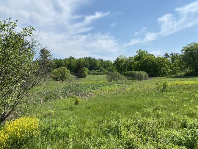
- Vista / Lookout Point
- Dogs
Points of interest
-
Parking
43.171944, -70.716681 -
Main Trailhead
43.171954, -70.716497 -
View from viewing platform
43.172614, -70.716125
Safety information
For your own safety: plan ahead, let someone know where you'll be, and hike at your own risk.
Availability
All seasons
Surface type
Universal Access
Trip Reports (Reviews)
Ready to help fellow hikers? Add a trip report to share your experience!
No community routes found. To add your own hike as a Community Route for this Trail guide, leave a Trip Report with an attached GPX file.


You may also like

Explore
Best of the Alps: Hiking, Adventure & Scenery
Plan your ultimate European Alps adventure! Discover the best hiking trails, epic scenery, and villages in the Swiss Alps, Dolomites, Chamonix, and Lake Como.

Explore
Colorado's Million Dollar Highway
Plan a day's drive adventure along the iconic Million Dollar Highway in Colorado. Explore the best short trails, roadside stops, waterfalls, vistas, ghost towns, and hot springs within a ~6 hour road trip.

Explore
Glacier's Going-to-the-Sun Road
Discover the breathtaking beauty of Glacier National Park along the iconic Going-to-the-Sun Road. From stunning roadside stops to picturesque waterfalls and vistas, this engineering marvel offers endless opportunities for exploration.

Explore
Hike Washington's National Parks & Forests
Find the best day hikes in Washington's National Parks and Forests. Explore panoramic alpine vistas, turquoise lakes, and stunning waterfalls.
highland farm preserve

