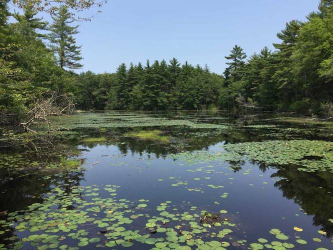
1.9 mi Easy Loop Add to Trailmix: Log in to create a Trailmix What are Trailmixes? Red & Yellow Trails Medfield, Massachusetts 0
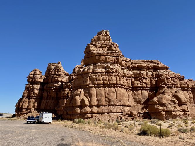
0.0 mi Easy One-Way Add to Trailmix: Log in to create a Trailmix What are Trailmixes? Kathline Rock Hanksville, Utah 0
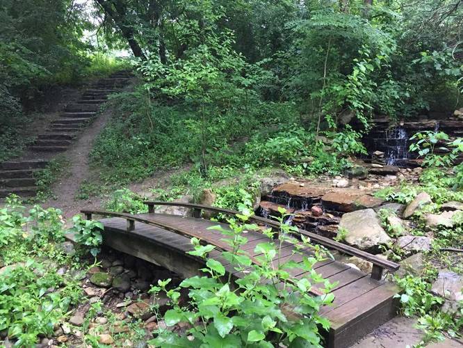
0.4 mi Easy Out-and-Back Add to Trailmix: Log in to create a Trailmix What are Trailmixes? Bigelow to Babbling Brook Trail Pittsburgh, Pennsylvania 0
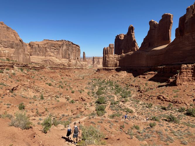
0.2 mi Easy Out-and-Back Add to Trailmix: Log in to create a Trailmix What are Trailmixes? Park Avenue Viewpoint Moab, Utah 4.0
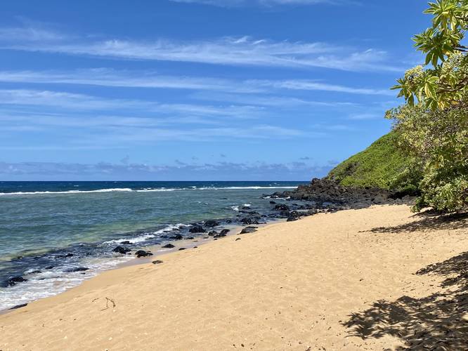
0.5 mi Moderate Out-and-Back Add to Trailmix: Log in to create a Trailmix What are Trailmixes? Larsen's Beach Trail Kilauea, Hawaii 0
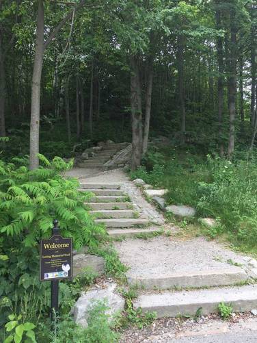
0.1 mi Easy One-Way Add to Trailmix: Log in to create a Trailmix What are Trailmixes? Loring Memorial Trail Portland, Maine 0
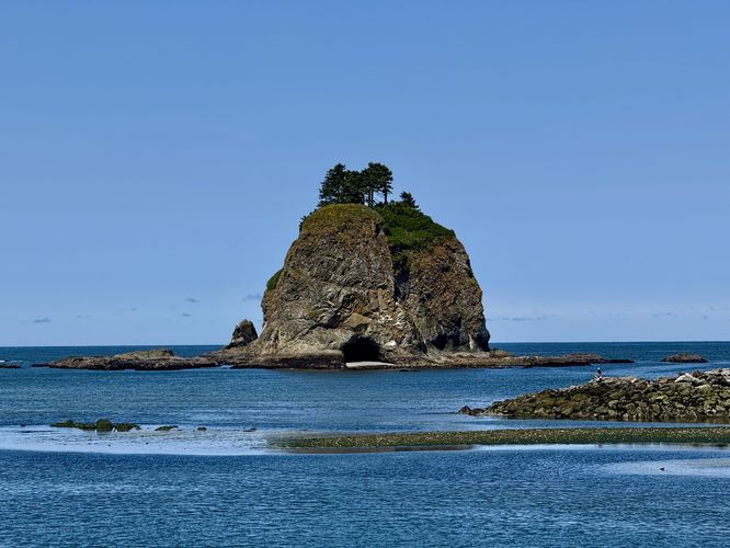
0.2 mi Easy Out-and-Back Add to Trailmix: Log in to create a Trailmix What are Trailmixes? James Island Viewpoint La Push, Washington 0
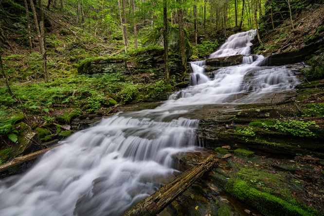
0.6 mi Moderate Out-and-Back Add to Trailmix: Log in to create a Trailmix What are Trailmixes? Hounds Run Hike Trout Run, Pennsylvania 0
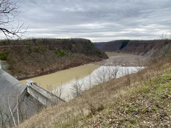
3.3 mi Easy Out-and-Back Add to Trailmix: Log in to create a Trailmix What are Trailmixes? Mt. Morris Dam Overlook Mount Morris, New York 0
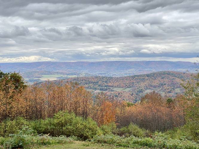
1.3 mi Moderate Loop Add to Trailmix: Log in to create a Trailmix What are Trailmixes? Mount Pisgah Loop Troy, Pennsylvania 0
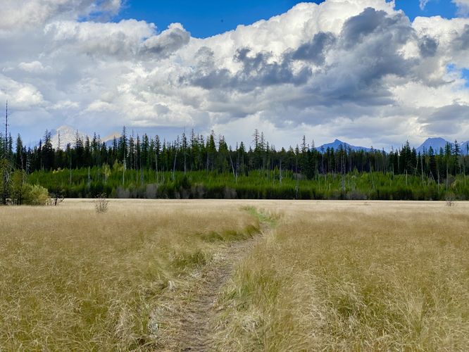
0.1 mi Easy Out-and-Back Add to Trailmix: Log in to create a Trailmix What are Trailmixes? McGee Meadow Trail West Glacier, Montana 0
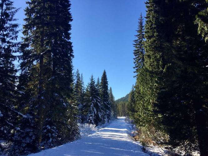
4.0 mi Moderate Out-and-Back Add to Trailmix: Log in to create a Trailmix What are Trailmixes? Trillium Lake Road Trail Government Camp, Oregon 0