Looking for a breathtaking yet accessible experience in the heart of the Dolomites? The walk along the western shores of Lago di Landro (German: Dürrensee) offers one of the highest rewards for the least amount of effort in the region.
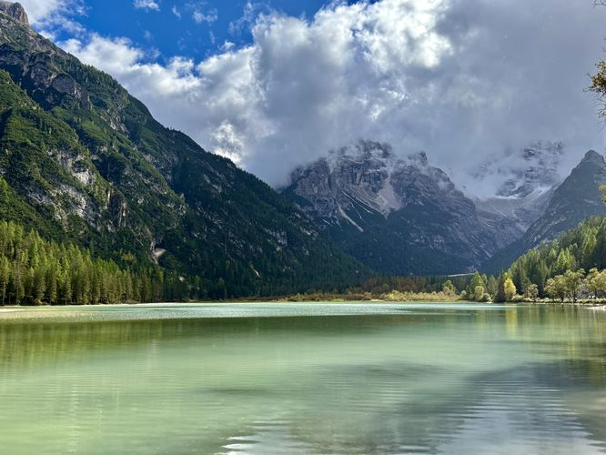
Spanning just 0.6 km (0.4 miles), this easy out-and-back trail immerses you in a landscape of milky turquoise waters and towering alpine peaks. Perfect for families or those seeking a quick nature break, this mostly flat path provides front-row seats to the majestic Monte Cristallo group. While the main path is easy for all ages, stepping just off the path to the water's edge reveals the true magic of this alpine gem.
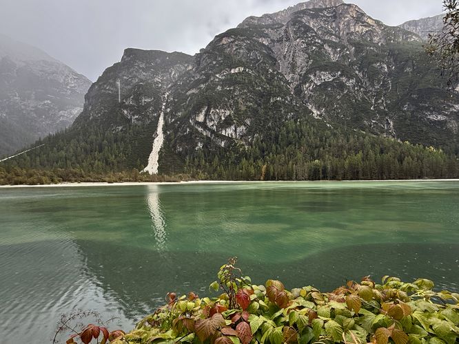
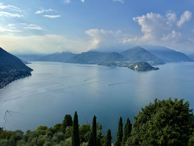
Following the trail north, you'll pass the Lake Landro's milky turquoise waters with a row of trees that separate you from the lake. On the northwest corner, visitors will find a short off-trail path that leads to the water's edge. From here, you'll find more breathtaking views of the Dolomites, Lago di Landro, and the Monte Cristallo mountain range to the south.
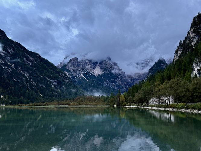
After exploring the lake's shoreline, taking in the alpine views of the Dolomites, and enjoying the turquoise waters of the lake, this short trail wraps up back at parking for an easy 0.6 km (0.4 mile) out-and-back walk.Nearby Attractions: Extending Your Visit in the Dolomites
For more adventures near Lago di Landro, be sure to explore the nearby Lago di Dobbiaco and the world-famous turquoise waters of Lago di Braies. If you're driving to or from Misurina, be sure to take a hike around Lago di Misurina (Lake Misurina) and Lago d'Antorno (Lake Antorno) as well. Both of which should not be skipped if you're in the area!
Spanning just 0.6 km (0.4 miles), this easy out-and-back trail immerses you in a landscape of milky turquoise waters and towering alpine peaks. Perfect for families or those seeking a quick nature break, this mostly flat path provides front-row seats to the majestic Monte Cristallo group. While the main path is easy for all ages, stepping just off the path to the water's edge reveals the true magic of this alpine gem.
Lago di Landro Trail Guide: An Easy Scenic Walk in the Dolomites
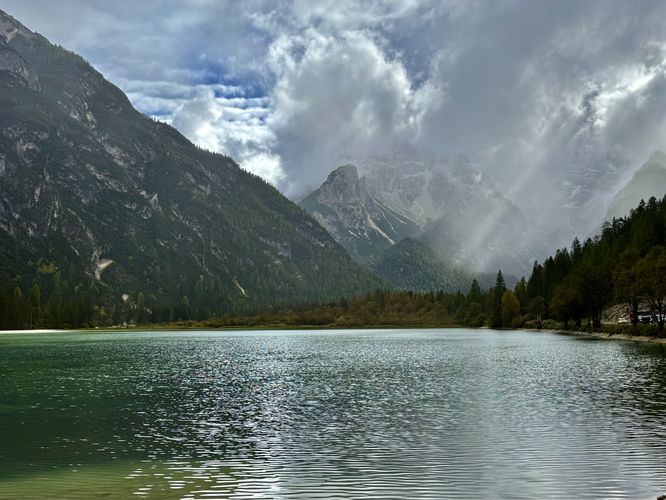
This short walk along Lago di Landro begins on the western shore of the lake along SS51 where visitors will find abundant parking located just off of the road. Following the trail south, you'll find a rocky path that leads down to the water's edge where the best views of Lago di Landro (Dürrensee) can be found. From the shoreline, you'll find Alps views that surround the lake with the towering Monte Cristallo group to the south and Monte Piana to the east.Following the trail north, you'll pass the Lake Landro's milky turquoise waters with a row of trees that separate you from the lake. On the northwest corner, visitors will find a short off-trail path that leads to the water's edge. From here, you'll find more breathtaking views of the Dolomites, Lago di Landro, and the Monte Cristallo mountain range to the south.
After exploring the lake's shoreline, taking in the alpine views of the Dolomites, and enjoying the turquoise waters of the lake, this short trail wraps up back at parking for an easy 0.6 km (0.4 mile) out-and-back walk.