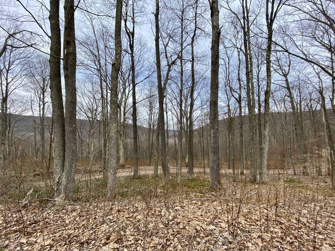
The Rexford Trail at Tioga State Forest near Gaines, Pennsylvania is a moderate 4.3-mile out-and-back trail that features obstructed vistas of neighboring mountains during the cold months and an undulating trail year-round.
The Rexford Trail follows red blazes and mostly heads up to the top of a mountain ridge and then back down to either side. This recording starts at the western trailhead and turns around at the eastern terminus where it also follows the West Rim Trail for a short distance to Colton Road.
The beginning of the hike heads uphill for about 0.5-miles before hitting the top of the mountain ridge. At the top of the mountain ridge is a trail that continues uphill and along the ridge (left-hand turn); however, the Rexford Trail continues straight and downhill for 1.5-miles to the eastern trailhead.
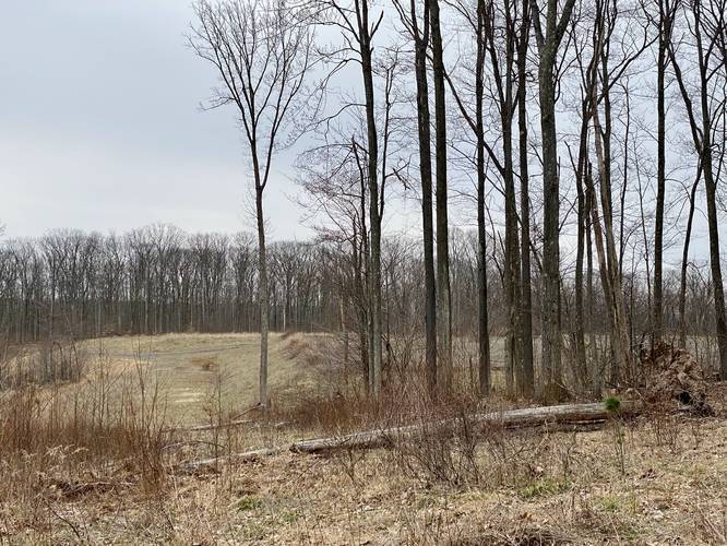
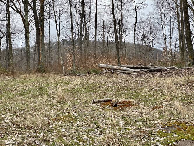
Before hiking downhill (when hiking in either direction) from the top of the mountain, be sure to check out the empty natural gas drilling area that the state forest once leased off. This barren landscape is all that's leftover from private companies harvesting Pennsylvania's and the state forest's natural resources - and yet another reminder as to why filtering water from streams here is not recommended because of the potential contaminants from natural gas extraction.
The hike back is similarly difficult as the initial hike uphill, but the elevation grade is more gradual so the 1.5-miles uphill is not as difficult as it seems; however, this trail is certainly a moderate hike.
Camping and Backpacking
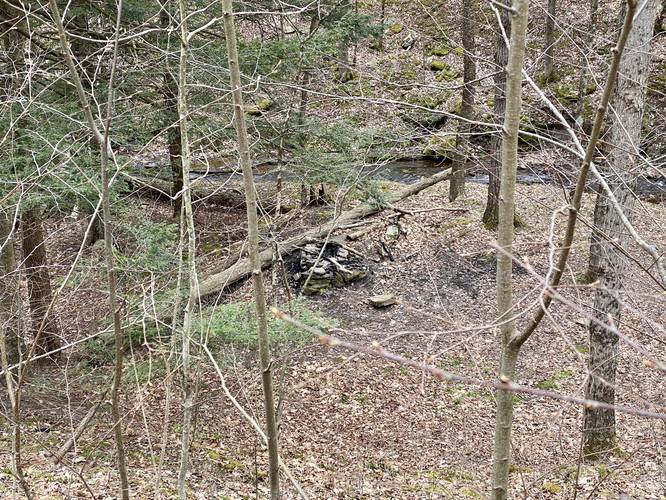
Backpacking and camping are allowed along this trail per the Tioga State Forest rules. Plenty of campsites can be found, but mainly near each trailhead. Most of the campsites are found near or along the section of the trail that follows the West Rim Trail - near the eastern trailhead.
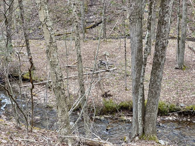
Waterfalls
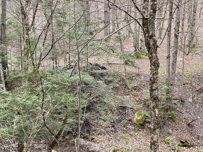
There are several very small, but scenic waterfalls located along the section of the Rexford Trail that also follows the West Rim Trail. Most of these small waterfalls can be found next to the campsites that line that portion of the trail.
Parking
Hikers can find parking at the coordinates provided, which lie along Painter Leetonia Road at the western trailhead. The eastern trailhead also has parking, located off of Colton Road near these coordinates: 41.705087, -77.484967.
Biking
Mountain biking is permitted along this trail as no signs stated otherwise.
Winter Road Conditions
Tioga State Forest does not maintain this road during the winter. Do not attempt driving on this road without proper equipment including snow tires and/or chains unless the road is clear. High wind storms may also cause trees to fall across the road, making the road impassible. If you plan to visit during the winter, plan accordingly.
The Rexford Trail follows red blazes and mostly heads up to the top of a mountain ridge and then back down to either side. This recording starts at the western trailhead and turns around at the eastern terminus where it also follows the West Rim Trail for a short distance to Colton Road.
The beginning of the hike heads uphill for about 0.5-miles before hitting the top of the mountain ridge. At the top of the mountain ridge is a trail that continues uphill and along the ridge (left-hand turn); however, the Rexford Trail continues straight and downhill for 1.5-miles to the eastern trailhead.
Before hiking downhill (when hiking in either direction) from the top of the mountain, be sure to check out the empty natural gas drilling area that the state forest once leased off. This barren landscape is all that's leftover from private companies harvesting Pennsylvania's and the state forest's natural resources - and yet another reminder as to why filtering water from streams here is not recommended because of the potential contaminants from natural gas extraction.
The hike back is similarly difficult as the initial hike uphill, but the elevation grade is more gradual so the 1.5-miles uphill is not as difficult as it seems; however, this trail is certainly a moderate hike.
Camping and Backpacking
Backpacking and camping are allowed along this trail per the Tioga State Forest rules. Plenty of campsites can be found, but mainly near each trailhead. Most of the campsites are found near or along the section of the trail that follows the West Rim Trail - near the eastern trailhead.
Waterfalls
There are several very small, but scenic waterfalls located along the section of the Rexford Trail that also follows the West Rim Trail. Most of these small waterfalls can be found next to the campsites that line that portion of the trail.
Parking
Hikers can find parking at the coordinates provided, which lie along Painter Leetonia Road at the western trailhead. The eastern trailhead also has parking, located off of Colton Road near these coordinates: 41.705087, -77.484967.
Biking
Mountain biking is permitted along this trail as no signs stated otherwise.
Winter Road Conditions
Tioga State Forest does not maintain this road during the winter. Do not attempt driving on this road without proper equipment including snow tires and/or chains unless the road is clear. High wind storms may also cause trees to fall across the road, making the road impassible. If you plan to visit during the winter, plan accordingly.