1.7 mi Easy Out-and-Back Add to Trailmix: Log in to create a Trailmix What are Trailmixes? Mount Lincoln Trail Pelham, Massachusetts 0
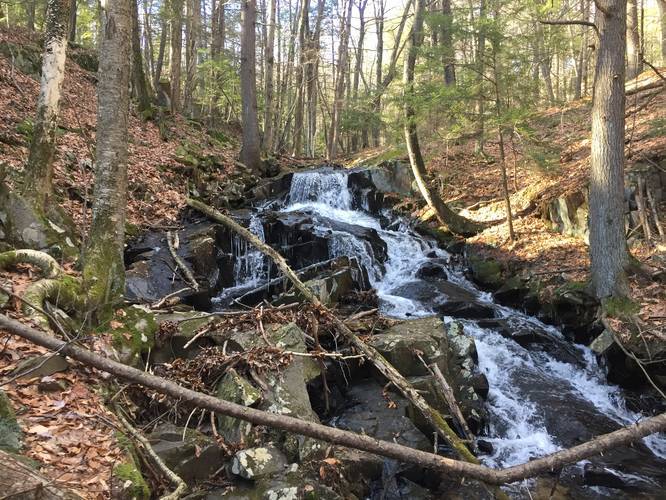
0.2 mi Easy Out-and-Back Add to Trailmix: Log in to create a Trailmix What are Trailmixes? Mt Tom Waterfall Trail Holyoke, Massachusetts 0
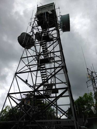
0.9 mi Easy Out-and-Back Add to Trailmix: Log in to create a Trailmix What are Trailmixes? Ludlow Lookout Tower Trail Ludlow, Massachusetts 0
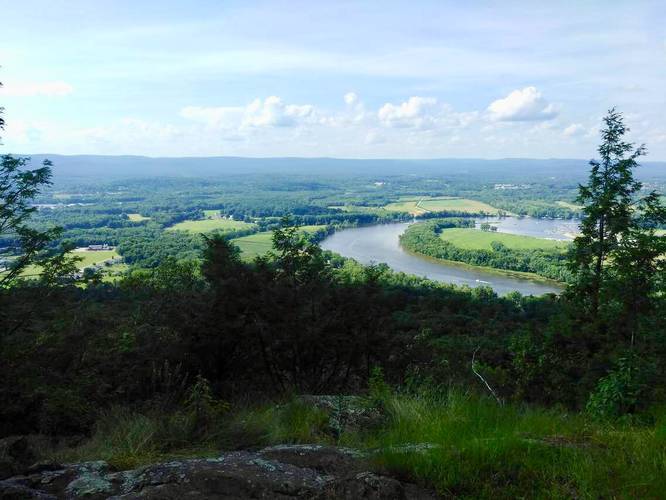
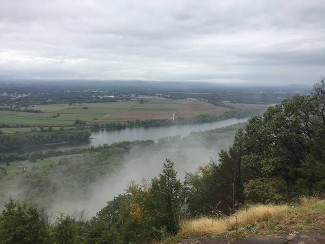
4.8 mi Moderate Loop Add to Trailmix: Log in to create a Trailmix What are Trailmixes? Northern Mt Tom Range Traverse Easthampton, Massachusetts 0
3.7 mi Moderate Loop Add to Trailmix: Log in to create a Trailmix What are Trailmixes? Dry Brook Trail to Mt. Holyoke Summit South Hadley, Massachusetts 0
2.3 mi Easy Loop Add to Trailmix: Log in to create a Trailmix What are Trailmixes? Chicopee Memorial State Park Paved Trail Chicopee, Massachusetts 0
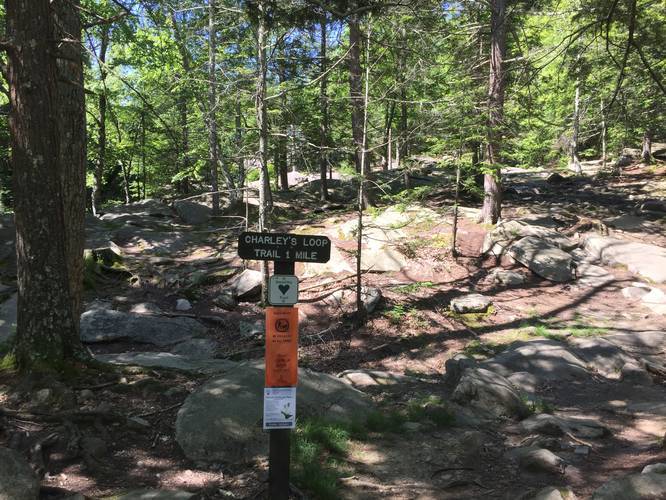
1.3 mi Easy Loop Add to Trailmix: Log in to create a Trailmix What are Trailmixes? Charley's Loop Trail Sutton, Massachusetts 0
1.0 mi Easy Out-and-Back Add to Trailmix: Log in to create a Trailmix What are Trailmixes? Mt Castor Trail Amherst, Massachusetts 0
3.6 mi Moderate Loop Add to Trailmix: Log in to create a Trailmix What are Trailmixes? North Sugarloaf via Pocumtuck Ridge Trail Deerfield, Massachusetts 0
2.1 mi Hard Out-and-Back Add to Trailmix: Log in to create a Trailmix What are Trailmixes? Mt Tom Power Line Trail Holyoke, Massachusetts 0
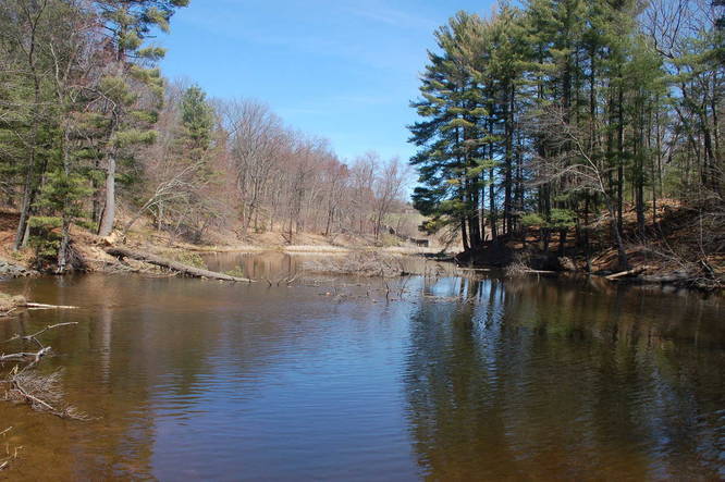
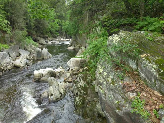
1.5 mi Easy Out-and-Back Add to Trailmix: Log in to create a Trailmix What are Trailmixes? Chesterfield Gorge Trail Chesterfield, Massachusetts 0
0.5 mi Easy Out-and-Back Add to Trailmix: Log in to create a Trailmix What are Trailmixes? Westover Conservation Area Main Trail Ludlow, Massachusetts 0