0.8 mi Easy Out-and-Back Add to Trailmix: Log in to create a Trailmix What are Trailmixes? Chapel Falls Trail Ashfield, Massachusetts 0
2.4 mi Moderate Out-and-Back Add to Trailmix: Log in to create a Trailmix What are Trailmixes? Goat Peak Holyoke, Massachusetts 0
2.0 mi Moderate Out-and-Back Add to Trailmix: Log in to create a Trailmix What are Trailmixes? Mount Tom Holyoke, Massachusetts 0
5.8 mi Hard Out-and-Back Add to Trailmix: Log in to create a Trailmix What are Trailmixes? Bellows Pipe Trail Adams, Massachusetts 0
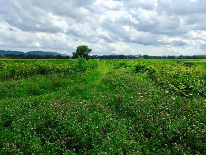
2.3 mi Easy Out-and-Back Add to Trailmix: Log in to create a Trailmix What are Trailmixes? Ludlow Reservoir Trail Ludlow, Massachusetts 0
0.5 mi Easy Loop Add to Trailmix: Log in to create a Trailmix What are Trailmixes? King Phillip's Stockade Springfield, Massachusetts 0
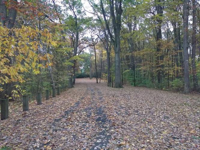
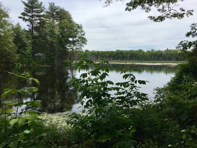
1.9 mi Easy Out-and-Back Add to Trailmix: Log in to create a Trailmix What are Trailmixes? Alexandra Dawson Conservation Area Hadley, Massachusetts 0
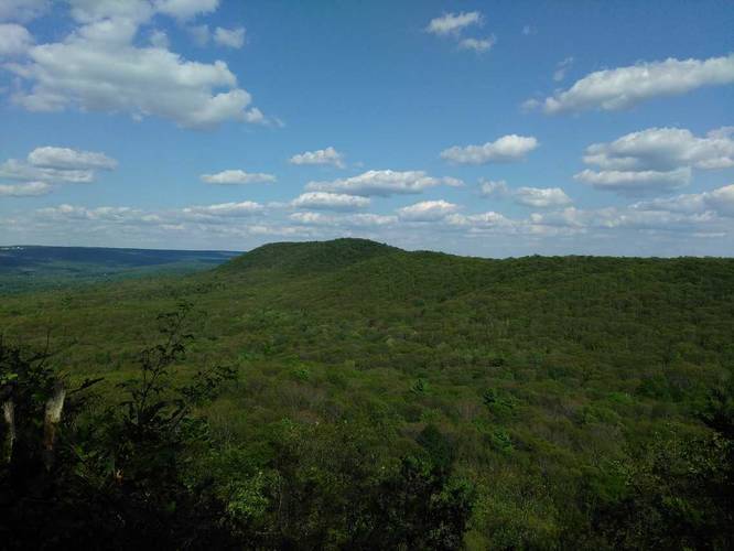
2.2 mi Moderate Out-and-Back Add to Trailmix: Log in to create a Trailmix What are Trailmixes? Rattlesnake Knob Amherst, Massachusetts 0
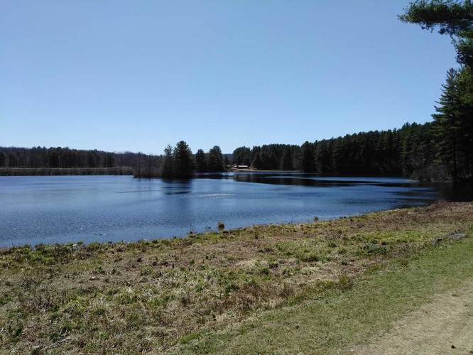
1.3 mi Easy Loop Add to Trailmix: Log in to create a Trailmix What are Trailmixes? Lake Wallace Belchertown, Massachusetts 5.0
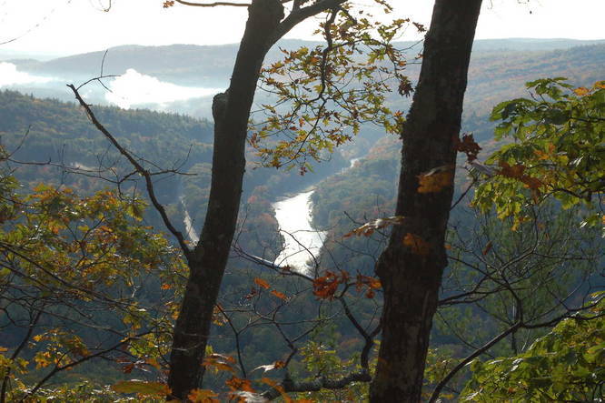
4.5 mi Hard Out-and-Back Add to Trailmix: Log in to create a Trailmix What are Trailmixes? Hermit's Castle Erving, Massachusetts 0
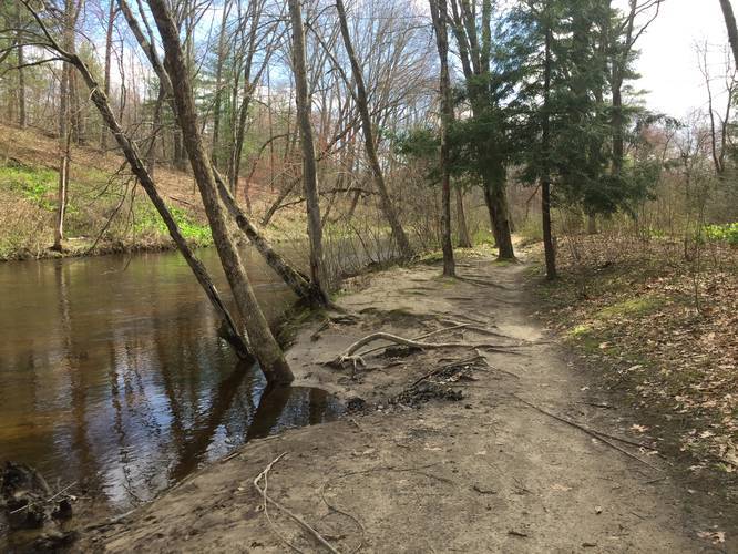
0.9 mi Easy One-Way Add to Trailmix: Log in to create a Trailmix What are Trailmixes? Emily Dickinson Trail Amherst, Massachusetts 0
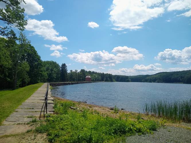
3.8 mi Easy Loop Add to Trailmix: Log in to create a Trailmix What are Trailmixes? Whiting Street Reservoir Trail Holyoke, Massachusetts 0