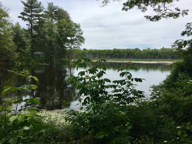
The Lake Wallace Trail in Belchertown, MA, is an easy 1.3 mile loop hike around Lake Wallace. Lake Wallace is mostly a swamp, but it's a nice quiet low-traffic hike.
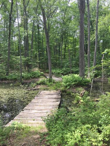
The trail start by the baseball field and splits into 2 trails just over the bridge. Left is the main trail. The trail is well maintained up to 202, from there along the side of the road to the police station is very overgrown and sometimes has fallen trees. After that you will have to walk back to the baseball field by passing the police station, the old school, and then finally walking down the dirt road back to the baseball field.
Blazes: Follow the orange blazes with white arrows.
Parking: Park at the baseball field behind the police station. Parking can be tricky if you're new to the area. If you drive to the coordinates or address provided, you'll end up in front of the Belchertown Police Department - turn into the road for the police department and continue driving past the community center, the skatepark, and the old school. When you make it to the west end of the old school, continue driving onto the dirt road to the baseball field and parking lot. Alternately, you can park at the police station and hop on the trail with the trailhead located right next to the road.