1.2 mi Easy Out-and-Back Add to Trailmix: Log in to create a Trailmix What are Trailmixes? White Dot Trail Agawam, Massachusetts 0
1.2 mi Easy Loop Add to Trailmix: Log in to create a Trailmix What are Trailmixes? Lollipop Loop Agawam, Massachusetts 0
0.6 mi Easy Out-and-Back Add to Trailmix: Log in to create a Trailmix What are Trailmixes? Old Pelham Rd Trail Belchertown, Massachusetts 0
1.8 mi Easy Loop Add to Trailmix: Log in to create a Trailmix What are Trailmixes? Mononatta Road Trail Springfield, Massachusetts 0
1.0 mi Easy Out-and-Back Add to Trailmix: Log in to create a Trailmix What are Trailmixes? DOC Trail Holyoke, Massachusetts 0
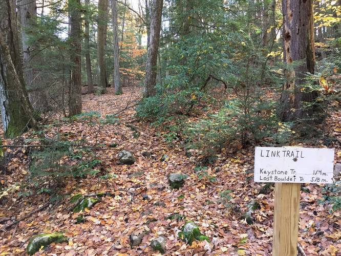
2.2 mi Easy Loop Add to Trailmix: Log in to create a Trailmix What are Trailmixes? Link Trail Holyoke, Massachusetts 0
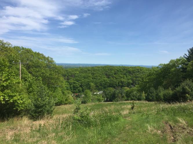
2.0 mi Easy Out-and-Back Add to Trailmix: Log in to create a Trailmix What are Trailmixes? Robinson State Park Main Road Hike Feeding Hills, Massachusetts 0
1.9 mi Moderate Loop Add to Trailmix: Log in to create a Trailmix What are Trailmixes? IMBA Access Trail Granby, Massachusetts 0
1.7 mi Easy Out-and-Back Add to Trailmix: Log in to create a Trailmix What are Trailmixes? Yellow Dot Trail Feeding Hills, Massachusetts 0
0.3 mi Easy Out-and-Back Add to Trailmix: Log in to create a Trailmix What are Trailmixes? Pine Brook Trail Belchertown, Massachusetts 0
0.8 mi Easy Out-and-Back Add to Trailmix: Log in to create a Trailmix What are Trailmixes? Windsor Locks Canal Trail Suffield, Connecticut 0
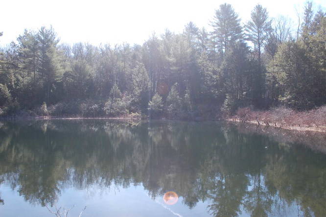
1.5 mi Moderate Out-and-Back Add to Trailmix: Log in to create a Trailmix What are Trailmixes? Holland Glen Section 10 Vista Belchertown, Massachusetts 0