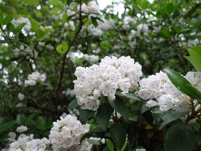
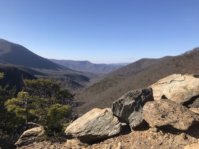
8.2 mi Hard Loop Add to Trailmix: Log in to create a Trailmix What are Trailmixes? Sams Ridge and Catlett Spur Hike Sperryville, Virginia 3.71
6.5 mi Moderate Loop Add to Trailmix: Log in to create a Trailmix What are Trailmixes? North Prong and Big Run Hike Osceola, West Virginia 0
24.2 mi Strenuous Out-and-Back Add to Trailmix: Log in to create a Trailmix What are Trailmixes? Angels Rest and Woods Hole Hostel Hike Pearisburg, Virginia 0
14.4 mi Easy Loop Add to Trailmix: Log in to create a Trailmix What are Trailmixes? Jacob Fork Rim Hike Connelly Springs, North Carolina 0
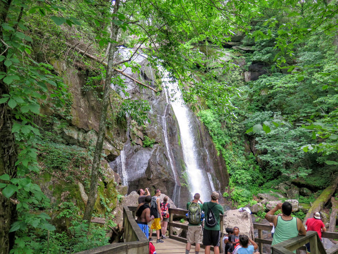
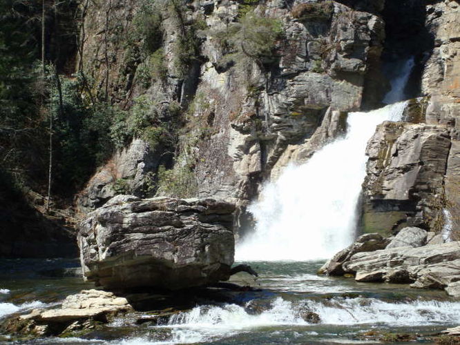
3.4 mi Moderate Out-and-Back Add to Trailmix: Log in to create a Trailmix What are Trailmixes? Linville Falls Hike Newland, North Carolina 4.25
12.4 mi Moderate Loop Add to Trailmix: Log in to create a Trailmix What are Trailmixes? Lake Sherwood Hike Trainer, West Virginia 0
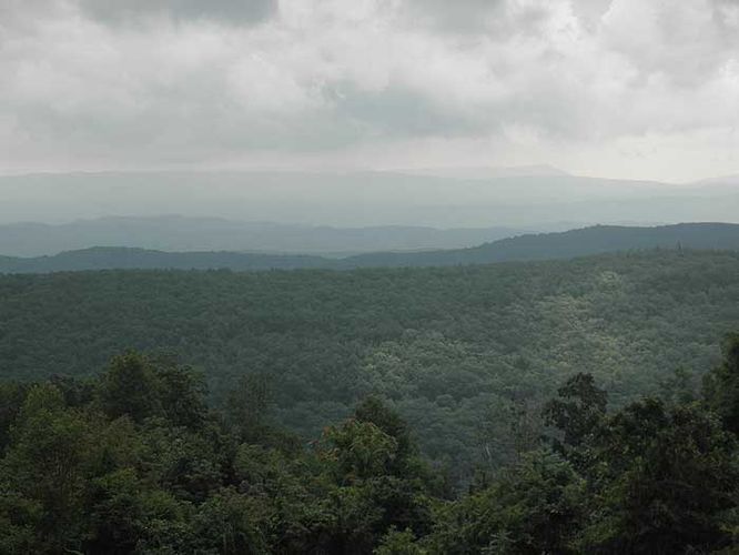
12.5 mi Strenuous Out-and-Back Add to Trailmix: Log in to create a Trailmix What are Trailmixes? Piney Ridge Hike Big Island, Virginia 0
8.9 mi Hard Loop Add to Trailmix: Log in to create a Trailmix What are Trailmixes? Sand Flat via Salamander Trail Hike Frederick, Maryland 2.75
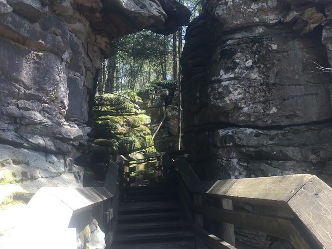
0.6 mi Easy Loop Add to Trailmix: Log in to create a Trailmix What are Trailmixes? Beartown Boulders Hike Renicks Valley, West Virginia 0
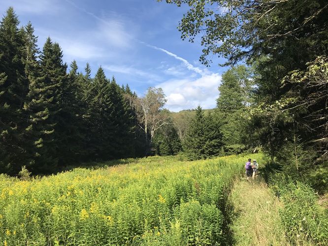
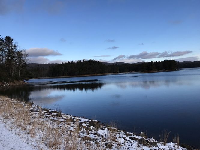
5.6 mi Moderate Loop Add to Trailmix: Log in to create a Trailmix What are Trailmixes? Sweet Run State Park Hike Neersville, Virginia 3.21
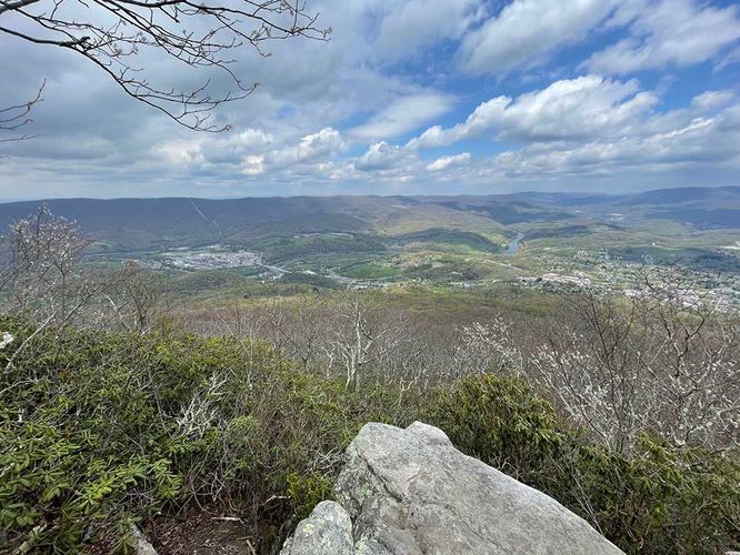
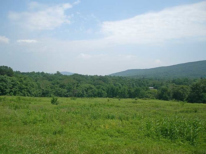
2.3 mi Moderate Out-and-Back Add to Trailmix: Log in to create a Trailmix What are Trailmixes? Ingals Overlook Hike Warm Springs, Virginia 3.0
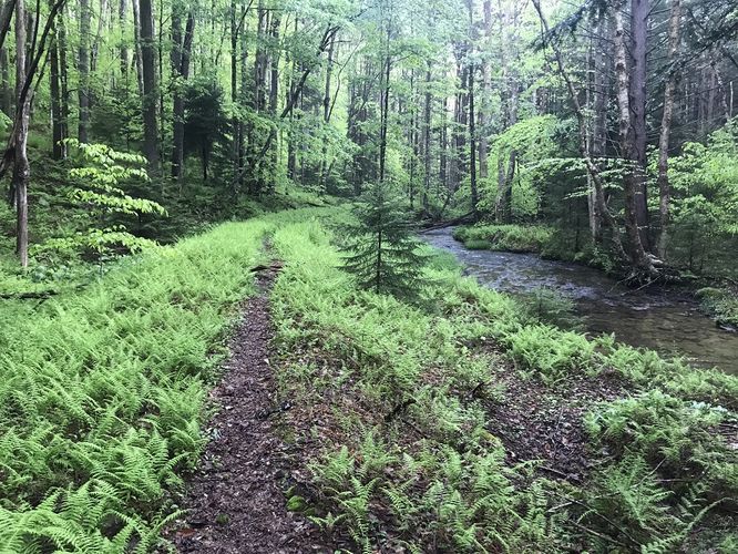
5.6 mi Moderate One-Way Add to Trailmix: Log in to create a Trailmix What are Trailmixes? Laurel Fork South Wilderness Hike Bowden, West Virginia 0