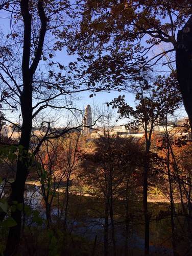
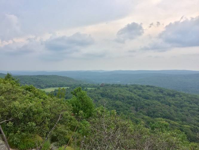
2.0 mi Moderate Loop Add to Trailmix: Log in to create a Trailmix What are Trailmixes? Peaked Mountain Monson, Massachusetts 0
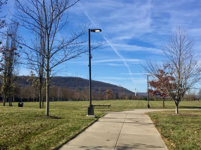
0.5 mi Easy Loop Add to Trailmix: Log in to create a Trailmix What are Trailmixes? Fallbrook Park Loop Trail Corning, New York 0
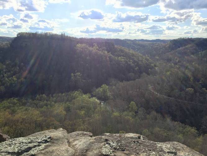
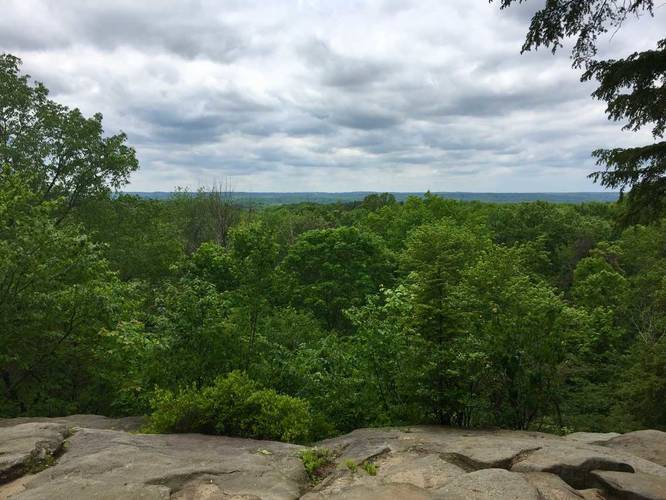
2.5 mi Moderate Loop Add to Trailmix: Log in to create a Trailmix What are Trailmixes? Ledges Loop Trail Peninsula, Ohio 0
0.3 mi Easy Out-and-Back Add to Trailmix: Log in to create a Trailmix What are Trailmixes? Bamboo Forest (Na'ili'ili Haele) Trail Maui County, Hawaii 0
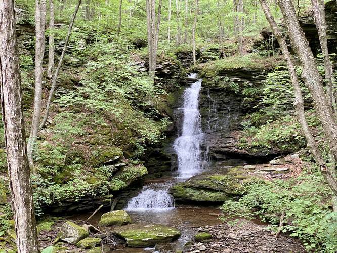
5.8 mi Hard Out-and-Back Add to Trailmix: Log in to create a Trailmix What are Trailmixes? Nickel Run Falls and Nessmuk's Winter Camp Wellsboro, Pennsylvania 0
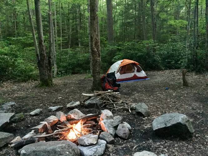
2.2 mi Easy Loop Add to Trailmix: Log in to create a Trailmix What are Trailmixes? Bear Run Yellow Loop to Campsite 5 Mill Run, Pennsylvania 0
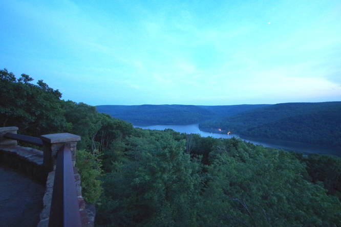
0.2 mi Easy Out-and-Back Add to Trailmix: Log in to create a Trailmix What are Trailmixes? Rimrock Overlook Trail Bradford, Pennsylvania 0
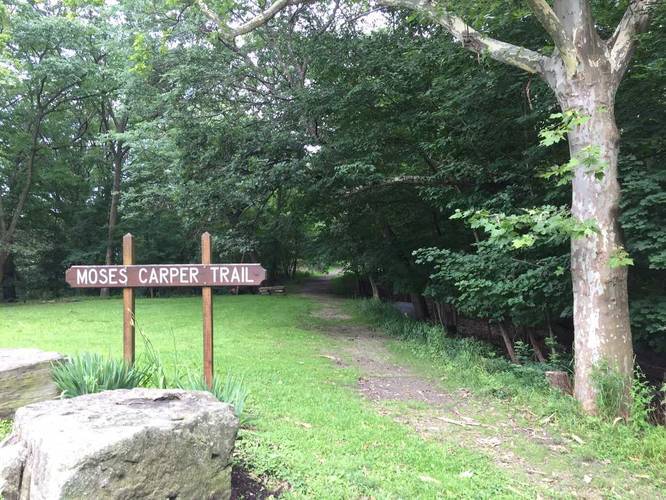
0.4 mi Easy Out-and-Back Add to Trailmix: Log in to create a Trailmix What are Trailmixes? Moses Carper Trail Pittsburgh, Pennsylvania 0
0.8 mi Easy One-Way Add to Trailmix: Log in to create a Trailmix What are Trailmixes? Upper Panther Hollow Trail Pittsburgh, Pennsylvania 0
0.6 mi Easy Out-and-Back Add to Trailmix: Log in to create a Trailmix What are Trailmixes? Chimney Top Rock Trail Pine Ridge, Kentucky 0
0.7 mi Easy Loop Add to Trailmix: Log in to create a Trailmix What are Trailmixes? McFeely Trail New Florence, Pennsylvania 0
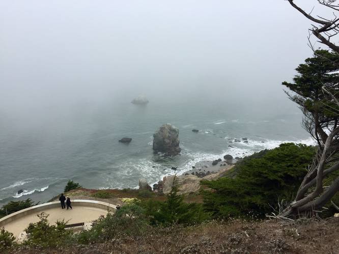
1.3 mi Easy One-Way Add to Trailmix: Log in to create a Trailmix What are Trailmixes? El Camino Del Mar Trail San Francisco, California 0
%2F37F51B54-B6D5-4AF0-AD72-F32D9D96685A_20180829181401UTC_small.jpeg)