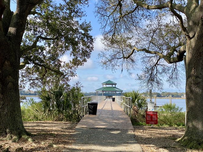
0.2 mi Easy Out-and-Back Add to Trailmix: Log in to create a Trailmix What are Trailmixes? Brittlebank Park Pier Trail Charleston, South Carolina 0
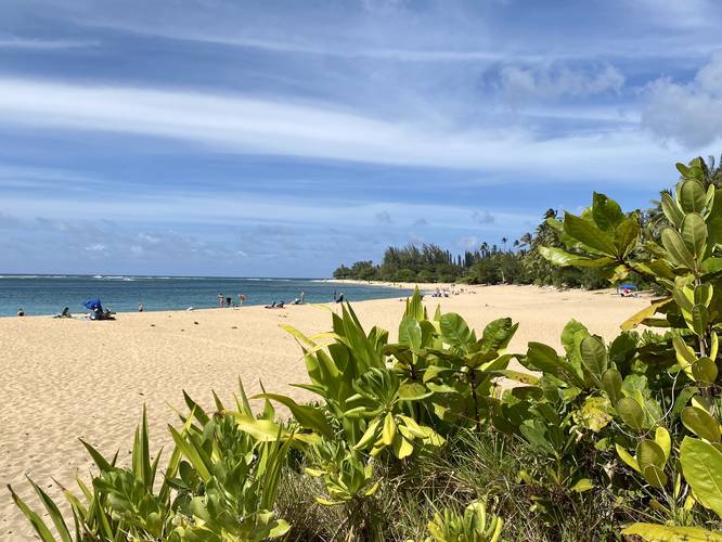
0.1 mi Easy Out-and-Back Add to Trailmix: Log in to create a Trailmix What are Trailmixes? Ha'ena Beach Access Wainiha, Hawaii 0
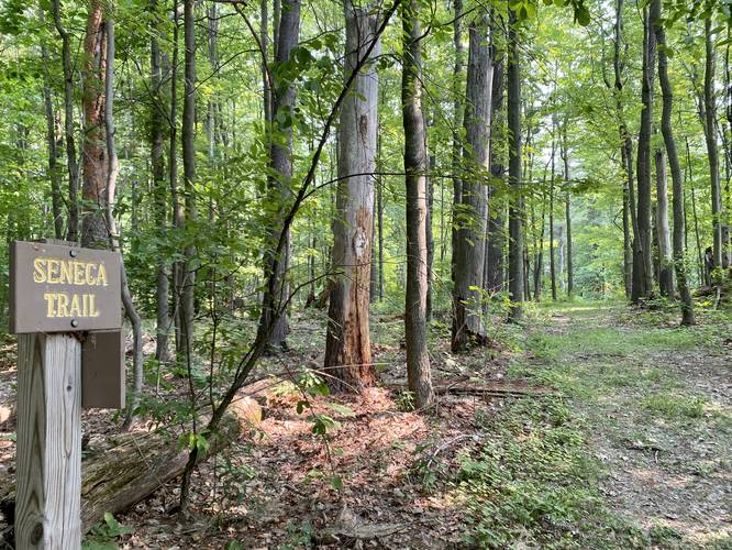
0.2 mi Easy One-Way Add to Trailmix: Log in to create a Trailmix What are Trailmixes? Seneca Trail Elmira, New York 0
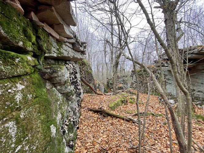
0.2 mi Easy Loop Add to Trailmix: Log in to create a Trailmix What are Trailmixes? Kellogg Mountain Crags Monroe, Pennsylvania 0
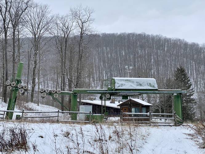
2.1 mi Easy Out-and-Back Add to Trailmix: Log in to create a Trailmix What are Trailmixes? Elm Hollow Trail Sweden Township, Pennsylvania 0
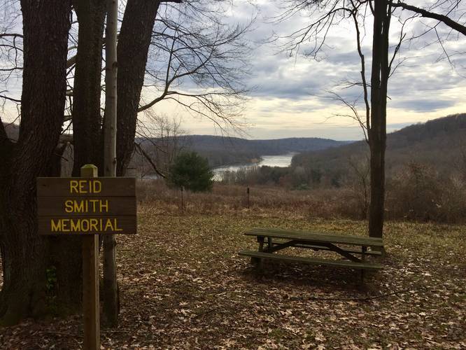
0.3 mi Easy Out-and-Back Add to Trailmix: Log in to create a Trailmix What are Trailmixes? Reid Smith Memorial Lookout Trail Franklin, Pennsylvania 0
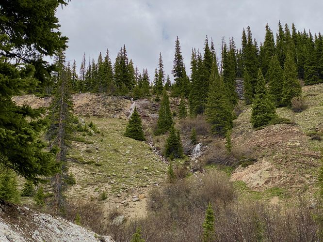
0.1 mi Easy Out-and-Back Add to Trailmix: Log in to create a Trailmix What are Trailmixes? Mineral Creek Tributary Falls Silverton, Colorado 3.0
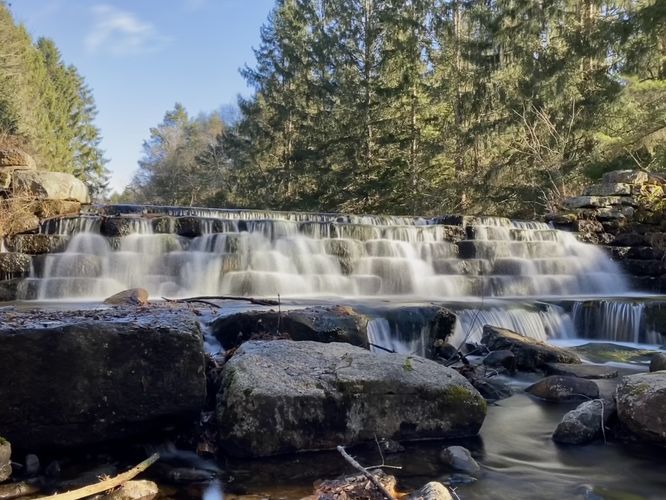
0.1 mi Easy Out-and-Back Add to Trailmix: Log in to create a Trailmix What are Trailmixes? Lower Sand Spring Falls Kidder Township, Pennsylvania 0
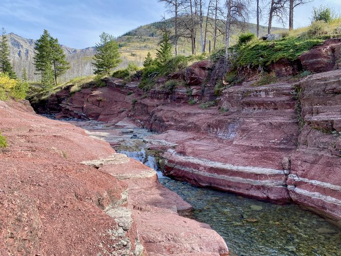
0.7 mi Easy Loop Add to Trailmix: Log in to create a Trailmix What are Trailmixes? Red Rock Canyon Accessible Loop Waterton Park, Alberta 0
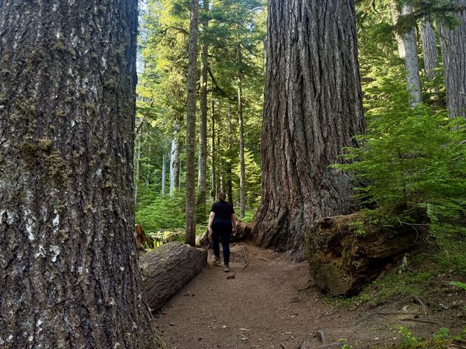
0.3 mi Moderate Loop Add to Trailmix: Log in to create a Trailmix What are Trailmixes? Twin Firs Trail Ashford, Washington 0
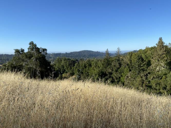
0.6 mi Moderate Loop Add to Trailmix: Log in to create a Trailmix What are Trailmixes? Magenta Loop Scotts Valley, California 0
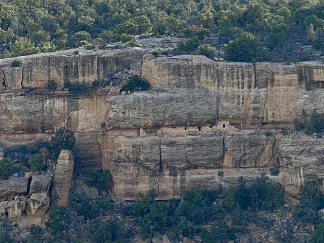
0.0 mi Easy Out-and-Back Add to Trailmix: Log in to create a Trailmix What are Trailmixes? House of Many Windows View Mesa Verde National Park, Colorado 0