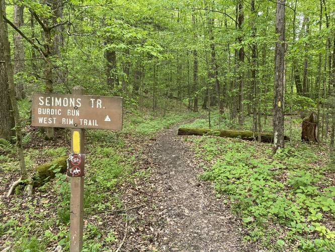
The Seimons Trail at Tioga State Forest in Shippen Township, Pennsylvania is an easy 1.3-mile out-and-back trail that leads from Painter Leetonia Road to the West Rim Trail (W.R.T) and back.
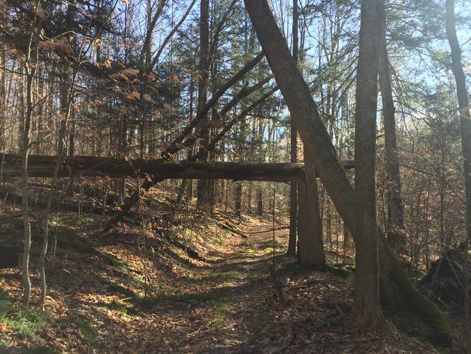
This trail does not have much to see other than a nice walk through the woods. Hikers will find that this is an easy trail to use when hopping on the West Rim Trail - great for short backbacking trips or day hikes.
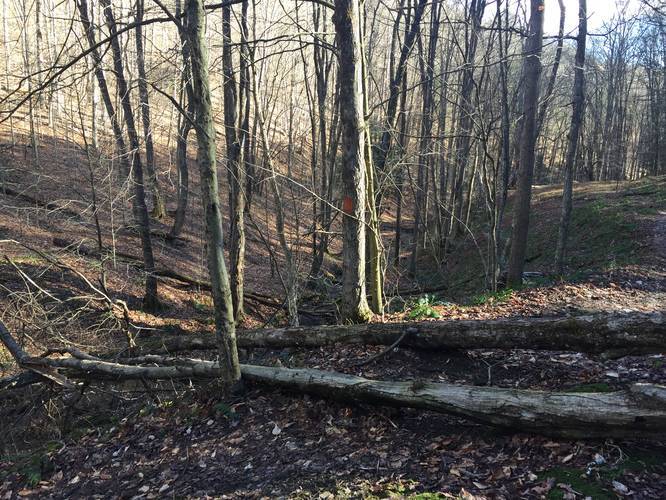
The trail starts out mostly-flat before heading downhill where it terminates at three yellow markers where it meets up with the orange markers for the W.R.T. The way back is easy enough as the grade heading uphill is gradual before leveling out closer to the trailhead.
Trail Name
On the Tioga State Forest trail map, this trail is listed as the "Semans Trail" or the "Semons Trail" -- the trailhead sign clearly states this trail is named the Seimons Trail. Assuming the state forest map is incorrect here.
Camping
Backpacking and camping is allowed along this trail; however, there were no pre-designated campsites. Leave no trace when camping off-trail and follow the state forest's camping rules.
Parking
Since there's no real parking lot for this trailhead, hikers can pull off to the side of the road near the trailhead; however, please note that logging trucks drive through these state forest roads frequently. Make sure there's enough space for other very large vehicles to pass through, do not block gates, and do not park directly on trails.
Blaze Color
This trail follows yellow blazes.
Prohibited
Biking and horseback riding are both prohibited along this trail.
Pets
Dogs are allowed if leashed.
Finding Burdic Run Falls
Hikers can use the Seimons Trail to reach the Burdic Run Falls Trail located less than 100-feet from the end of the trail. Burdic Run Falls is a 50+ foot waterfall that cascades into the Grand Canyon of Pennsylvania. The Burdic Run Falls Trail ends with a beautiful vista point at the top of the waterfall along this unmarked creek trail.
Winter Road Conditions
Tioga State Forest does not maintain this road during the winter. Do not attempt driving on this road without proper equipment including snow tires and/or chains unless the road is clear. High wind storms may also cause trees to fall across the road, making the road impassible. If you plan to visit during the winter, plan accordingly.
This trail does not have much to see other than a nice walk through the woods. Hikers will find that this is an easy trail to use when hopping on the West Rim Trail - great for short backbacking trips or day hikes.
The trail starts out mostly-flat before heading downhill where it terminates at three yellow markers where it meets up with the orange markers for the W.R.T. The way back is easy enough as the grade heading uphill is gradual before leveling out closer to the trailhead.
Trail Name
On the Tioga State Forest trail map, this trail is listed as the "Semans Trail" or the "Semons Trail" -- the trailhead sign clearly states this trail is named the Seimons Trail. Assuming the state forest map is incorrect here.
Camping
Backpacking and camping is allowed along this trail; however, there were no pre-designated campsites. Leave no trace when camping off-trail and follow the state forest's camping rules.
Parking
Since there's no real parking lot for this trailhead, hikers can pull off to the side of the road near the trailhead; however, please note that logging trucks drive through these state forest roads frequently. Make sure there's enough space for other very large vehicles to pass through, do not block gates, and do not park directly on trails.
Blaze Color
This trail follows yellow blazes.
Prohibited
Biking and horseback riding are both prohibited along this trail.
Pets
Dogs are allowed if leashed.
Finding Burdic Run Falls
Hikers can use the Seimons Trail to reach the Burdic Run Falls Trail located less than 100-feet from the end of the trail. Burdic Run Falls is a 50+ foot waterfall that cascades into the Grand Canyon of Pennsylvania. The Burdic Run Falls Trail ends with a beautiful vista point at the top of the waterfall along this unmarked creek trail.
Winter Road Conditions
Tioga State Forest does not maintain this road during the winter. Do not attempt driving on this road without proper equipment including snow tires and/or chains unless the road is clear. High wind storms may also cause trees to fall across the road, making the road impassible. If you plan to visit during the winter, plan accordingly.