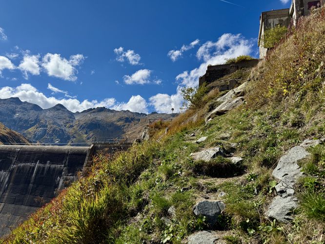
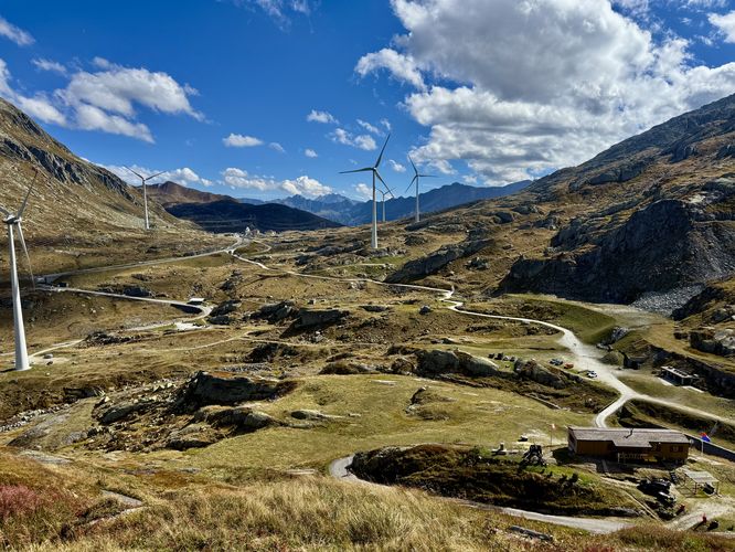
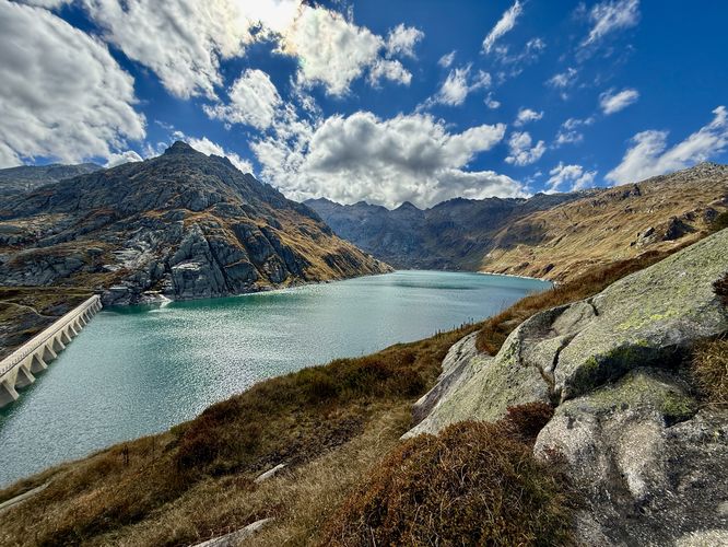
Hike the best viewpoint of Lago di Lucendro (Lake Lucendro) on Gotthard Pass, Switzerland. This short, but moderate 2.3 km out-and-back trail near Airolo, Switzerland, offers stunning Alpine views of the Gotthard Pass, the tranquil Lake Lucendro reservoir, the massive dam wall, and passes abandoned military bunkers.
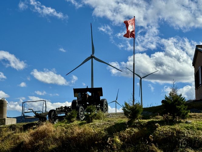
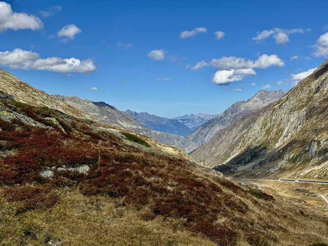
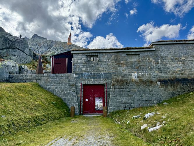
The trail then leads toward the dam before heading uphill along a moderate, paved grade. Hikers will pass a small building with old military artillery that sits below a fluttering Swiss flag. This route then leads off of the paved trail to follow a steep hillside path that leads hikers along slightly more challenging terrain. If you wish to follow the "easier" route to the lake view, simply continue along the paved trail as it ascends. Note that if you follow the hillside path instead, you'll encounter some short rock scrambles with very steep slopes, so be careful.
Hike to Lago di Lucendro (Lake Lucendro)
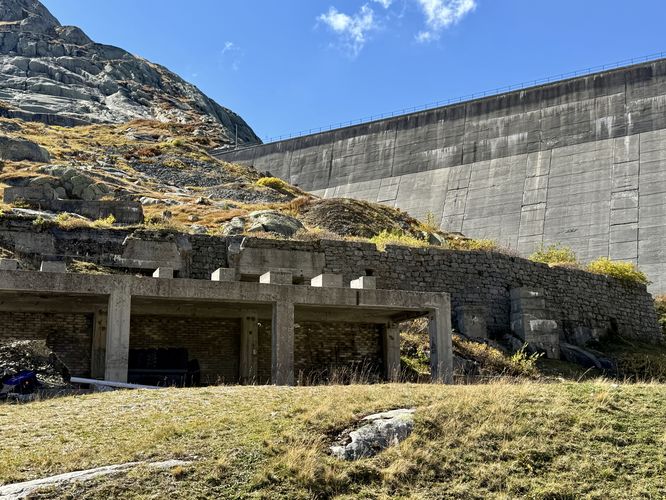
Hikers will begin at the small dirt parking lot located next to old war bunkers that line the foothills of the Alps of Gotthard pass. The trailhead leads uphill, passing wind turbines, to reach a dirt road that sits below the Lake Lucendro dam. Here, more abandoned bunkers line the foothills of the Alps and stand as testament to the Swiss engineering that made these defensive structures stand for decades.The trail then leads toward the dam before heading uphill along a moderate, paved grade. Hikers will pass a small building with old military artillery that sits below a fluttering Swiss flag. This route then leads off of the paved trail to follow a steep hillside path that leads hikers along slightly more challenging terrain. If you wish to follow the "easier" route to the lake view, simply continue along the paved trail as it ascends. Note that if you follow the hillside path instead, you'll encounter some short rock scrambles with very steep slopes, so be careful.