The Heron Loop at Thousand Islands National Park near Mallorytown, Ontario is an easy 1.4 km loop hike that features beautiful views of Mud Creek and Jones Creek.
Boardwalk Mud Creek View - 0.2 to 0.52 km
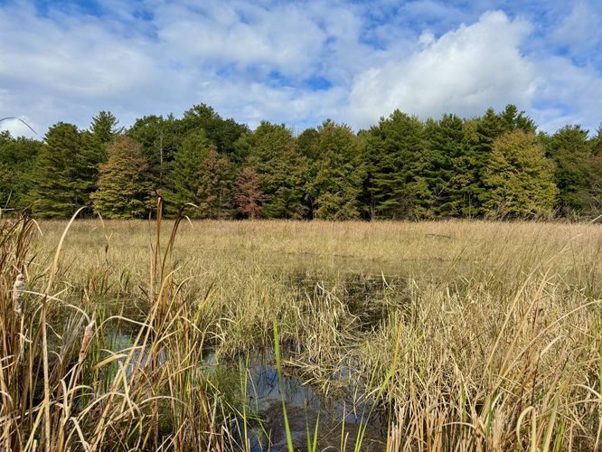
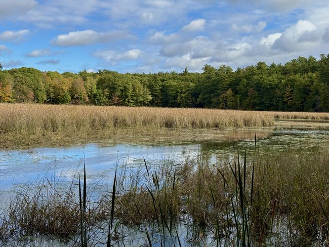
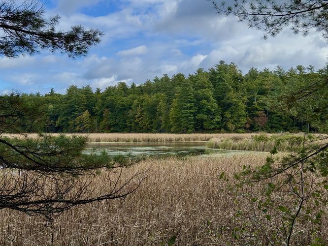
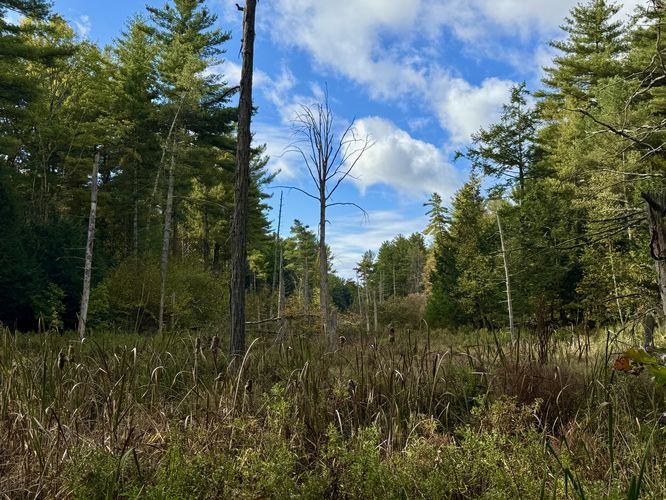
The Heron Loop then leads out into an open swamp that sits adjacent to Mud Creek following a spur (out-and-back) boardwalk. Hikers will first pass a continuation of the Heron Loop around 0.2 km -- hike straight out toward the swamp where you'll find the boardwalk. The boardwalk can be very slippery, so watch your step. Following the boardwalk is just one of the better views you'll find along this trail as it leads straight out to the edge of Mud Creek. The trail ends here at a nice view of the water and surrounding forests -- especially beautiful during autumn. The hike then leads back to the true loop of the Heron Loop back at 0.52 km.
After exploring the Creek Overlook, the Heron Loop continues traversing the top of the hill as it heads east. Eventually the trail begins to descend at a gradual rate before reaching two last views.
After visiting the last two views along the trail, it winds its way southwest through the forest to reach the Bear Loop to complete this scenic 1.4 km loop trail.Parking & Fees
Hikers will find a small parking
lot at the coordinates provided, located on the north side of 1000
Islands Parkway near Mallorytown, ON. The lot is large enough to fit less
than 12 vehicles as of October 2024. There's a parking fee of about $10
(in 2024), which can be paid by QR code found in front of parking
spaces.
Hiking the Heron Loop
Hikers will start this route along the western terminus located along the blue blazes of the Bear Loop. Please note that you must first hike in along the Jones Creek Trail and the Bear Loop to reach this trailhead. The trail leads northwest through the forest, passing a small forested swamp with a scenic "view", around 0.17 km from the trailhead. This is a nice spot to take a short break, especially after hiking in on the Bear Loop.Boardwalk Mud Creek View - 0.2 to 0.52 km
The Heron Loop then leads out into an open swamp that sits adjacent to Mud Creek following a spur (out-and-back) boardwalk. Hikers will first pass a continuation of the Heron Loop around 0.2 km -- hike straight out toward the swamp where you'll find the boardwalk. The boardwalk can be very slippery, so watch your step. Following the boardwalk is just one of the better views you'll find along this trail as it leads straight out to the edge of Mud Creek. The trail ends here at a nice view of the water and surrounding forests -- especially beautiful during autumn. The hike then leads back to the true loop of the Heron Loop back at 0.52 km. Creek Overlook - 0.63 km
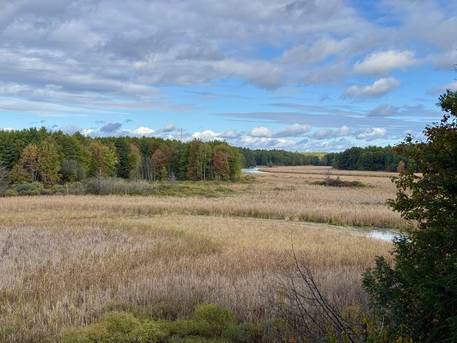
After hopping back on the loop, the trail ascends a short root-filled hill up to a viewing platform. As of October 2024, there were two Adirondack-style chairs at the overlook where you can enjoy a seat with a nice view. Below is the vast swamp with its abundant tall grasses and snaking through the grass is Mud Creek below. On the right-hand side of the view is Jones Creek. The overlook even provides a view of the confluence of Mud Creek and Jones Creek. This overlook is by far the best view within the Jones Creek section of the park and well-worth hiking to, but the Heron Loop isn't over yet.After exploring the Creek Overlook, the Heron Loop continues traversing the top of the hill as it heads east. Eventually the trail begins to descend at a gradual rate before reaching two last views.
Jones Creek View - 1 to 1.05 km
After the trail descends to its lowest point, it reaches the banks of Jones Creek. Here, you can hike off-trail just a few meters to reach the edge of Jones Creek where you'll find a tranquil view of the water. Just beyond the shoreline view, around 1.05 km from the trailhead, lies another view of Jones Creek from the forested trail.After visiting the last two views along the trail, it winds its way southwest through the forest to reach the Bear Loop to complete this scenic 1.4 km loop trail.