0.6 mi Easy Loop Add to Trailmix: Log in to create a Trailmix What are Trailmixes? Grenville Park Trail Ware, Massachusetts 0
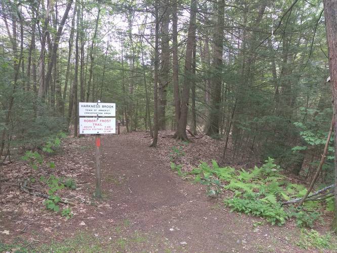
0.8 mi Easy Loop Add to Trailmix: Log in to create a Trailmix What are Trailmixes? Harkness Brook Loop Trail Amherst, Massachusetts 0
0.9 mi Easy Loop Add to Trailmix: Log in to create a Trailmix What are Trailmixes? Bray Trail - Inner Loop Holyoke, Massachusetts 0
1.1 mi Easy Loop Add to Trailmix: Log in to create a Trailmix What are Trailmixes? Jan Dizard Loop Trail Amherst, Massachusetts 0
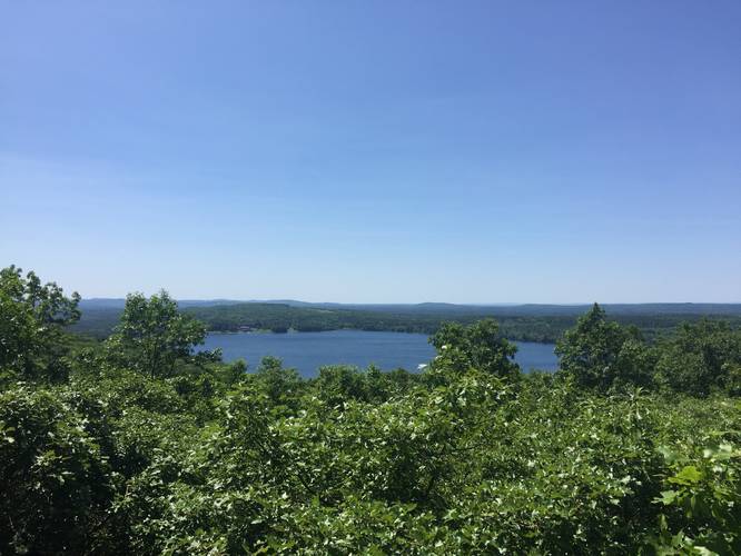
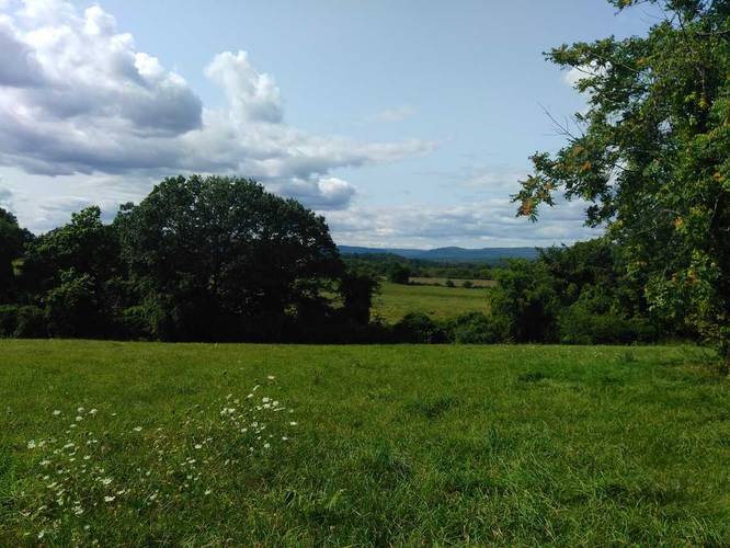
0.6 mi Easy Out-and-Back Add to Trailmix: Log in to create a Trailmix What are Trailmixes? Quabbin Hill Trail Ware, Massachusetts 0
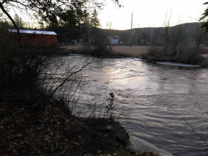
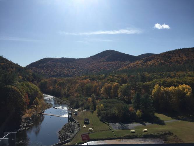
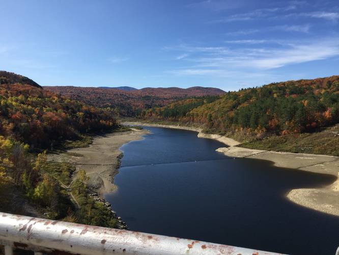
0.9 mi Easy Out-and-Back Add to Trailmix: Log in to create a Trailmix What are Trailmixes? Townshend Dam Trail Townshend, Vermont 0
0.7 mi Moderate Out-and-Back Add to Trailmix: Log in to create a Trailmix What are Trailmixes? Highmoor Trail Wilbraham, Massachusetts 0
1.1 mi Easy One-Way Add to Trailmix: Log in to create a Trailmix What are Trailmixes? Ken Cuddeback Trail Potwine Ln Amherst, Massachusetts 0
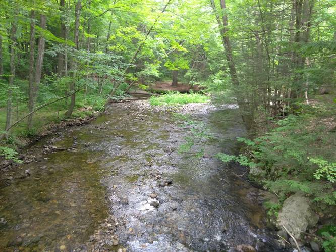
0.8 mi Easy Out-and-Back Add to Trailmix: Log in to create a Trailmix What are Trailmixes? Robert Frost Trail - Mill River Amherst, Massachusetts 0
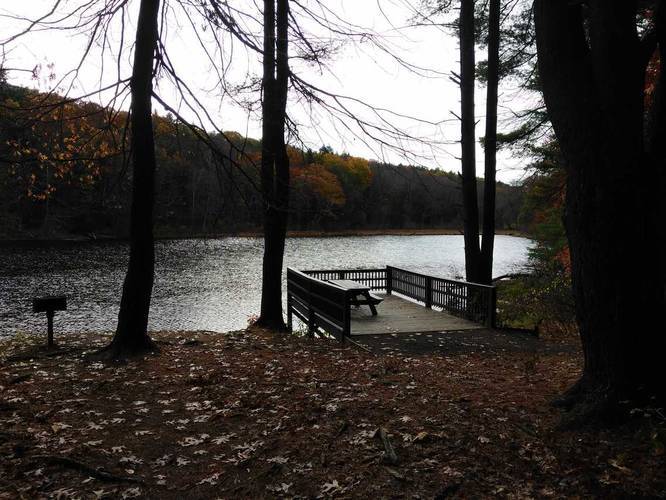
0.2 mi Easy Out-and-Back Add to Trailmix: Log in to create a Trailmix What are Trailmixes? West River Dam Overlook Jamaica, Vermont 0
3.7 mi Moderate Out-and-Back Add to Trailmix: Log in to create a Trailmix What are Trailmixes? Metacomet - Monadnock Trail Section 2 Westfield, Massachusetts 0
1.9 mi Easy Out-and-Back Add to Trailmix: Log in to create a Trailmix What are Trailmixes? Gold St Trail Belchertown, Massachusetts 0