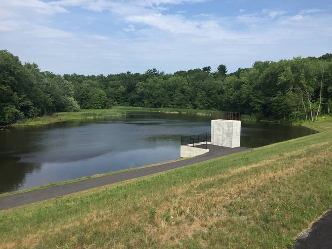
0.5 mi Easy Out-and-Back Add to Trailmix: Log in to create a Trailmix What are Trailmixes? Van Horn Reservoir Trail Springfield, Massachusetts 0
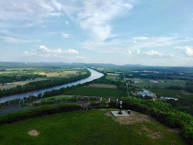
2.4 mi Hard Out-and-Back Add to Trailmix: Log in to create a Trailmix What are Trailmixes? Mt Sugaloaf Trail Deerfield, Massachusetts 0
1.2 mi Easy Loop Add to Trailmix: Log in to create a Trailmix What are Trailmixes? Mt Toby Blue Dot Sunderland, Massachusetts 0
0.1 mi Easy Out-and-Back Add to Trailmix: Log in to create a Trailmix What are Trailmixes? McNulty Park Holyoke, Massachusetts 0
1.0 mi Easy Loop Add to Trailmix: Log in to create a Trailmix What are Trailmixes? Mittineague Park Woodland Trail West Springfield, Massachusetts 0
1.2 mi Hard Out-and-Back Add to Trailmix: Log in to create a Trailmix What are Trailmixes? Palmer Wildlife Management Area Yellow Dot Trail Palmer, Massachusetts 0
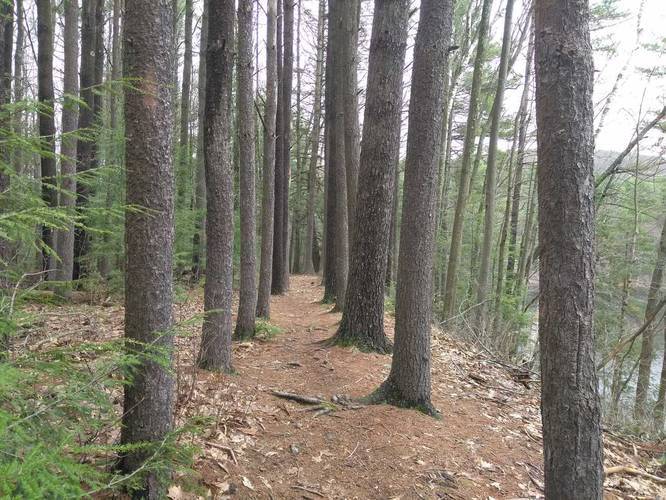
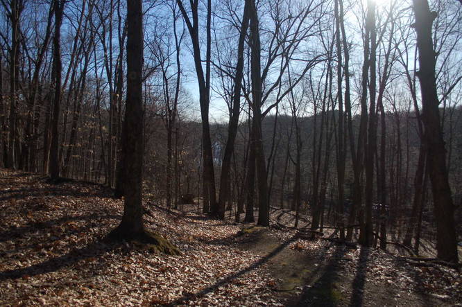
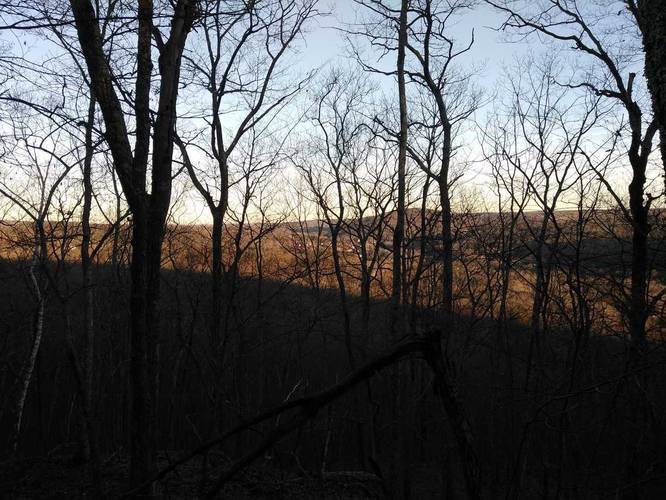
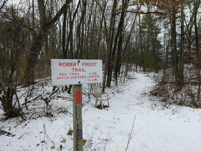
0.7 mi Easy One-Way Add to Trailmix: Log in to create a Trailmix What are Trailmixes? Robert Frost Trail - Pomeroy Pond Amherst, Massachusetts 0
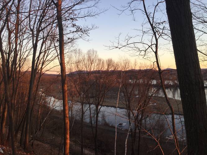
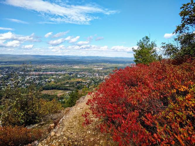
1.5 mi Moderate Out-and-Back Add to Trailmix: Log in to create a Trailmix What are Trailmixes? Whiting Peak via Metacoment-Monadnock Trail Holyoke, Massachusetts 0
0.6 mi Easy Out-and-Back Add to Trailmix: Log in to create a Trailmix What are Trailmixes? Forest Park Fountain Lake Trail Springfield, Massachusetts 0
0.8 mi Easy Loop Add to Trailmix: Log in to create a Trailmix What are Trailmixes? Leaping Well Nature Trail South Hadley, Massachusetts 0
0.5 mi Easy Loop Add to Trailmix: Log in to create a Trailmix What are Trailmixes? School Street Park Loop Agawam, Massachusetts 0
0.7 mi Easy One-Way Add to Trailmix: Log in to create a Trailmix What are Trailmixes? Reservation Road Trail Holyoke, Massachusetts 0