2.2 mi Moderate Out-and-Back Add to Trailmix: Log in to create a Trailmix What are Trailmixes? Snake Mountain Holyoke, Massachusetts 0
1.7 mi Easy Loop Add to Trailmix: Log in to create a Trailmix What are Trailmixes? Black Stevens Loop South Hadley, Massachusetts 0
0.7 mi Easy Out-and-Back Add to Trailmix: Log in to create a Trailmix What are Trailmixes? Quabbin Nature Walk Trail Ware, Massachusetts 0
0.4 mi Easy Loop Add to Trailmix: Log in to create a Trailmix What are Trailmixes? Perry Lane Park Agawam, Massachusetts 0
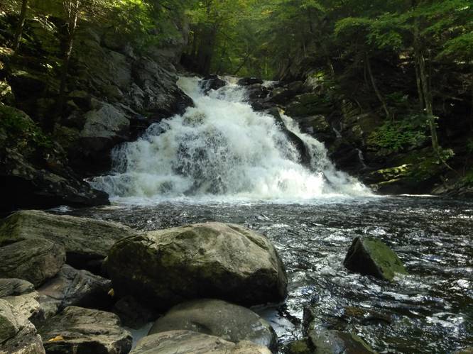
0.4 mi Easy Out-and-Back Add to Trailmix: Log in to create a Trailmix What are Trailmixes? Wahconah Falls Dalton, Massachusetts 0
1.5 mi Moderate Out-and-Back Add to Trailmix: Log in to create a Trailmix What are Trailmixes? Bare Mountain via Old Mill Lane Granby, Massachusetts 0
0.8 mi Easy One-Way Add to Trailmix: Log in to create a Trailmix What are Trailmixes? Pocumtuck Ridge Trail Greenfield, Massachusetts 0
3.1 mi Moderate Loop Add to Trailmix: Log in to create a Trailmix What are Trailmixes? Tinker Hill Trail Hadley, Massachusetts 0
2.4 mi Easy Out-and-Back Add to Trailmix: Log in to create a Trailmix What are Trailmixes? Bay Rd Trail Belchertown, Massachusetts 0
1.4 mi Easy Loop Add to Trailmix: Log in to create a Trailmix What are Trailmixes? Wright Pond Inner Loop - Ashley Reservoir Holyoke, Massachusetts 0
2.5 mi Easy Out-and-Back Add to Trailmix: Log in to create a Trailmix What are Trailmixes? Robert Frost Trail - Station Road to Rt 9 Amherst, Massachusetts 0
1.6 mi Strenuous Loop Add to Trailmix: Log in to create a Trailmix What are Trailmixes? Mt Sugarloaf - Pocumtuck Ridge Trail Deerfield, Massachusetts 0