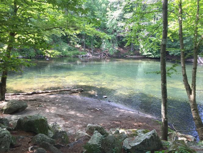
1.9 mi Easy Out-and-Back Add to Trailmix: Log in to create a Trailmix What are Trailmixes? Swift River Green Belt Trail Bondsville, Massachusetts 0
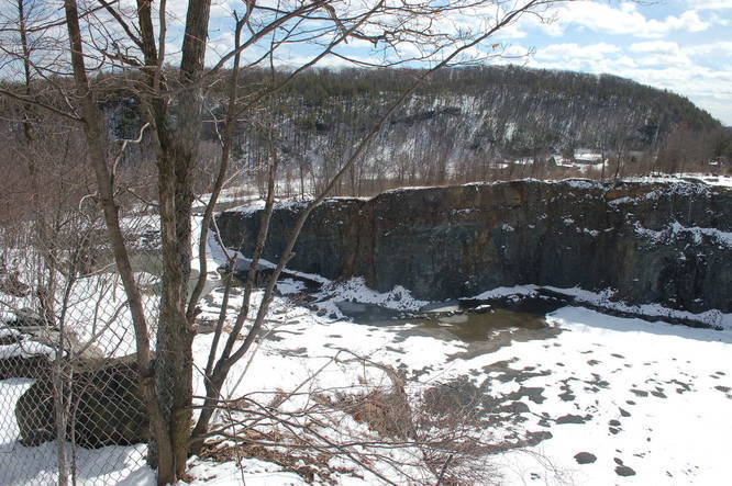
2.2 mi Easy Out-and-Back Add to Trailmix: Log in to create a Trailmix What are Trailmixes? Quarry Trail Holyoke, Massachusetts 0
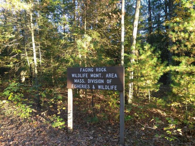
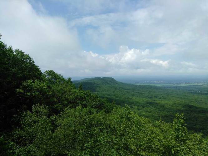
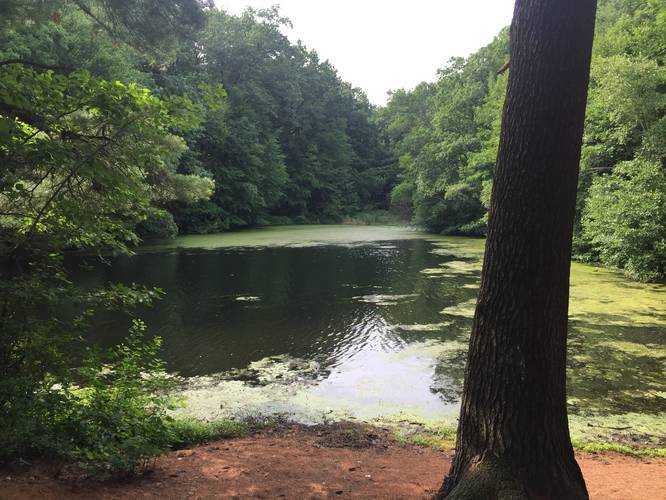
0.4 mi Easy Out-and-Back Add to Trailmix: Log in to create a Trailmix What are Trailmixes? Facing Rock Wildlife Trail Granby, Massachusetts 0
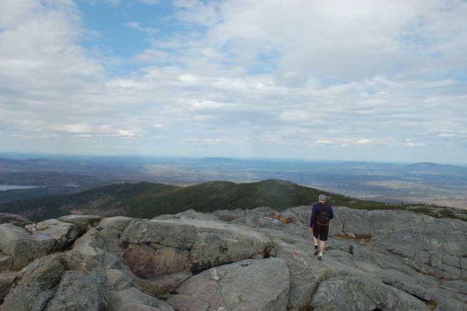
8.0 mi Hard Out-and-Back Add to Trailmix: Log in to create a Trailmix What are Trailmixes? Pumpelly Trail Dublin, New Hampshire 0
2.7 mi Moderate Out-and-Back Add to Trailmix: Log in to create a Trailmix What are Trailmixes? Mt Hitchcock Trail Amherst, Massachusetts 0
1.8 mi Moderate Out-and-Back Add to Trailmix: Log in to create a Trailmix What are Trailmixes? Sachem Head Greenfield, Massachusetts 0
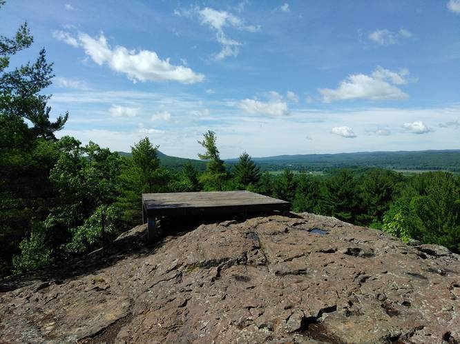
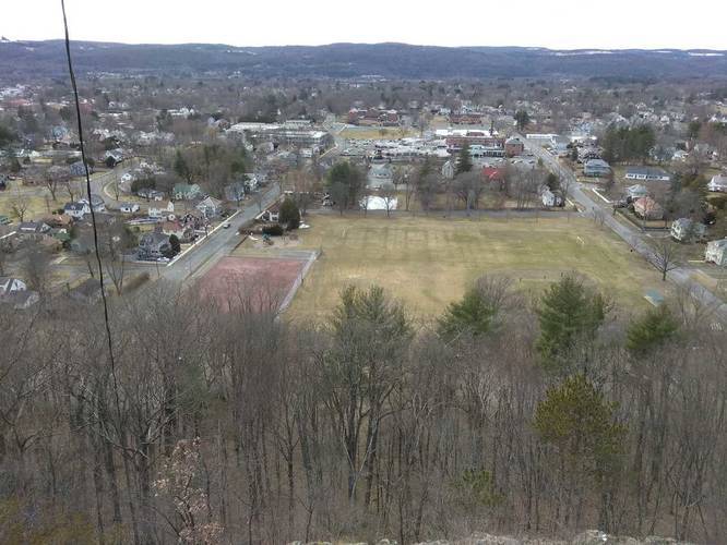
0.8 mi Moderate Loop Add to Trailmix: Log in to create a Trailmix What are Trailmixes? Poet's Seat Tower Trail Greenfield, Massachusetts 0
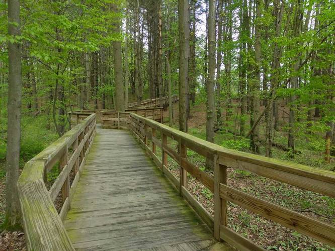
1.0 mi Easy Loop Add to Trailmix: Log in to create a Trailmix What are Trailmixes? Fort River Trail Hadley, Massachusetts 0
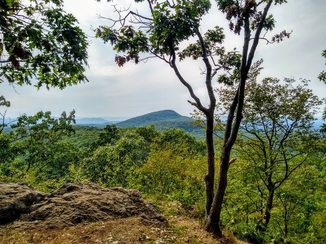
2.0 mi Hard Loop Add to Trailmix: Log in to create a Trailmix What are Trailmixes? Farley Ledges Erving, Massachusetts 0
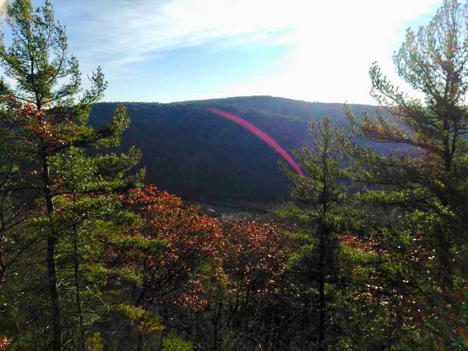
2.0 mi Moderate Out-and-Back Add to Trailmix: Log in to create a Trailmix What are Trailmixes? Long Mountain - M & M Trail Granby, Massachusetts 0
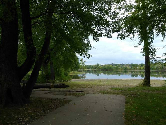
2.0 mi Easy Loop Add to Trailmix: Log in to create a Trailmix What are Trailmixes? Van Horn Park Loop Trail Springfield, Massachusetts 0
0.2 mi Easy Out-and-Back Add to Trailmix: Log in to create a Trailmix What are Trailmixes? Pynchon Point Agawam, Massachusetts 0