Mt Hitchcock Trail
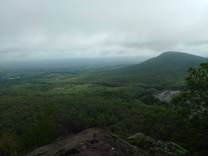
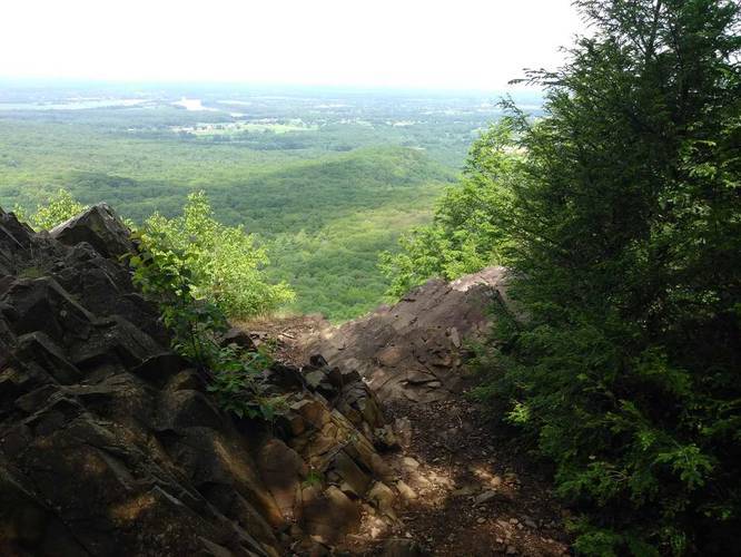
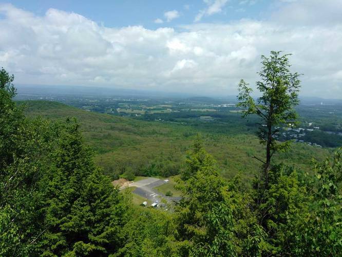
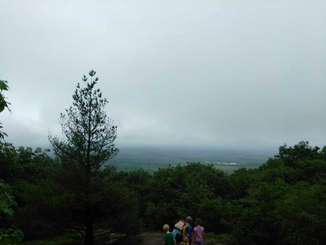
Park at the Notch Visitors Center. Follow the M & M trail across the street and up Bare Mountain, there are several lookouts on the way up and at the top. From there continue on down the backside of Bare Mountain.
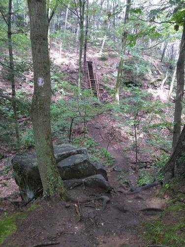
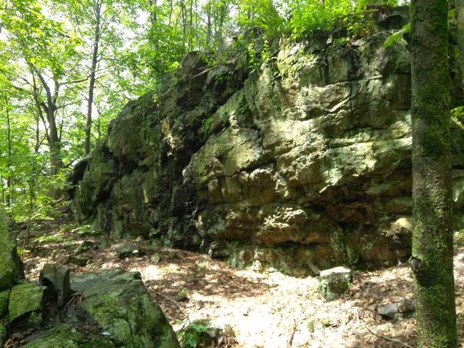
The trail is very up and down. There is a small section with a staircase that has a sign that the trail is closed but it is only for the staircase and appears to be outdated.
Know Before You Go
Interactive topographic map for Mt Hitchcock Trail located in Amherst, MA. Click the "View Map" button to load GPS coordinates and trail markers.
View map
Get directions
- Distance
- 2.7 mi
- Difficulty
- Moderate
- Type
- Out-and-Back
- Est. Time
- 1.4 hrs
- Elev. Gain
- 928'
- Rating
- 0.0
- Added
- July 17, 2017
- Updated
- April 02, 2019
Weather Forecast
Don't let Google decide who you trust.


Loading...
<strong>Trail map and elevation chart not rendering in print mode?</strong> Simply scroll to the trail map section, then try printing again!
Total Change
488 ft.
149 m
149 m
Ascent
928 ft.
283 m
283 m
Descent
1,015 ft.
309 m
309 m
Loading...
Features
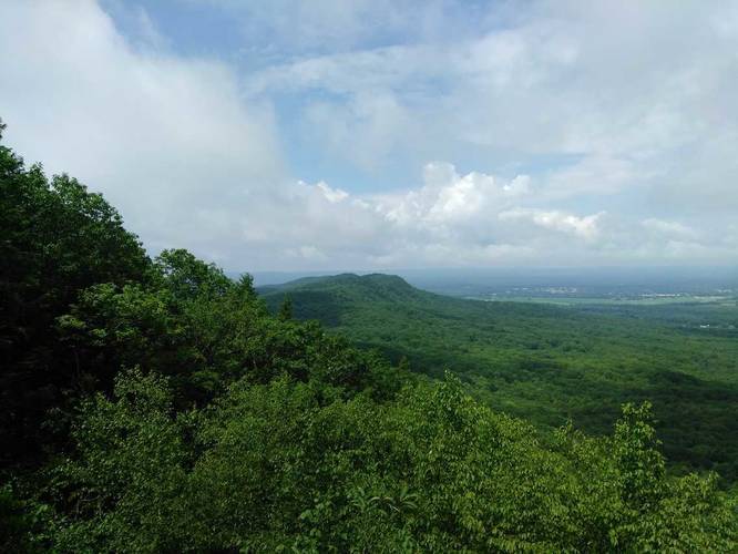
- Vista / Lookout Point
- Dogs
- Mountain Summit
Points of interest
-
Parking
42.305059, -72.528429 -
Main Trailhead
42.305401, -72.528664 -
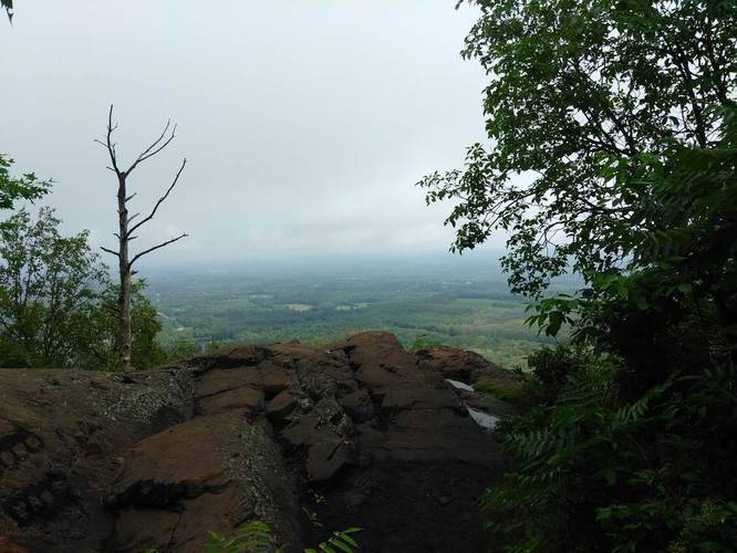
Vista point
42.303679, -72.531137 -
Just before steep stair climb
42.304396, -72.538963
-
Parking
42.305059, -72.528429 -
Main Trailhead
42.305401, -72.528664
Safety information
For your own safety: plan ahead, let someone know where you'll be, and hike at your own risk.
Availability
Spring
Surface type
Dirt
Trip Reports (Reviews)
Ready to help fellow hikers? Add a trip report to share your experience!
Explore other routes for this Trail guide, added by the MyHikes' community via Trip Reports (Reviews). To add your own hike as a Community Route for this Trail guide, leave a Trip Report and attached your GPX file!
-
View Trail Map
Hiker: JMillerHiked on: July 16, 2020Distance: 3.0 miles / 4.8 km


You may also like

Explore
Best of the Alps: Hiking, Adventure & Scenery
Plan your ultimate European Alps adventure! Discover the best hiking trails, epic scenery, and villages in the Swiss Alps, Dolomites, Chamonix, and Lake Como.

Explore
Colorado's Million Dollar Highway
Plan a day's drive adventure along the iconic Million Dollar Highway in Colorado. Explore the best short trails, roadside stops, waterfalls, vistas, ghost towns, and hot springs within a ~6 hour road trip.

Explore
Glacier's Going-to-the-Sun Road
Discover the breathtaking beauty of Glacier National Park along the iconic Going-to-the-Sun Road. From stunning roadside stops to picturesque waterfalls and vistas, this engineering marvel offers endless opportunities for exploration.

Explore
Hike Washington's National Parks & Forests
Find the best day hikes in Washington's National Parks and Forests. Explore panoramic alpine vistas, turquoise lakes, and stunning waterfalls.
mount holyoke range state park

