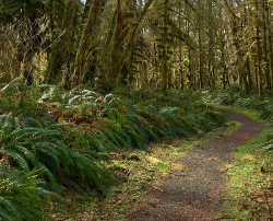
1.0 mi Easy Loop Add to Trailmix: Log in to create a Trailmix What are Trailmixes? Dufresne Park Yellow Loop Trail Granby, Massachusetts 0
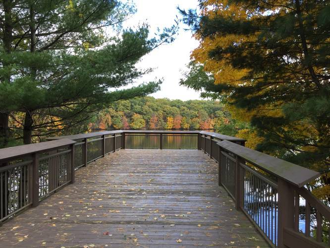
2.1 mi Easy Out-and-Back Add to Trailmix: Log in to create a Trailmix What are Trailmixes? Lower Access Trail Granby, Massachusetts 0
0.6 mi Easy Out-and-Back Add to Trailmix: Log in to create a Trailmix What are Trailmixes? Scarborough Brook Conservation Area Trail Belchertown, Massachusetts 0
0.9 mi Easy Loop Add to Trailmix: Log in to create a Trailmix What are Trailmixes? Arcadia Wildlife Sanctuary Loop Trail Easthampton, Massachusetts 0
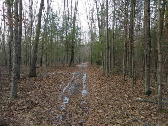
3.7 mi Easy Out-and-Back Add to Trailmix: Log in to create a Trailmix What are Trailmixes? Gate WR25 Ware, Massachusetts 0
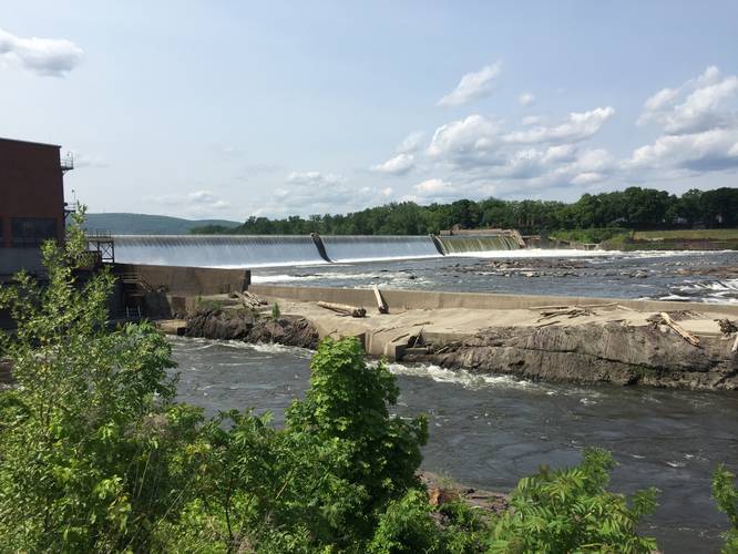
4.9 mi Moderate One-Way Add to Trailmix: Log in to create a Trailmix What are Trailmixes? Metacomet - Monadnock Trail - Section 4 West Springfield, Massachusetts 0
0.8 mi Easy Out-and-Back Add to Trailmix: Log in to create a Trailmix What are Trailmixes? Union Pond Trail Manchester, Connecticut 0
1.9 mi Easy Out-and-Back Add to Trailmix: Log in to create a Trailmix What are Trailmixes? George Hannum Rail Trail Belchertown, Massachusetts 0
0.6 mi Easy Out-and-Back Add to Trailmix: Log in to create a Trailmix What are Trailmixes? Slim Shad Point Trail Holyoke, Massachusetts 0
0.3 mi Easy Out-and-Back Add to Trailmix: Log in to create a Trailmix What are Trailmixes? Topping Farm Trail Belchertown, Massachusetts 0
1.9 mi Easy One-Way Add to Trailmix: Log in to create a Trailmix What are Trailmixes? Keystone Trail Holyoke, Massachusetts 0
3.1 mi Moderate Loop Add to Trailmix: Log in to create a Trailmix What are Trailmixes? Little Tinker via Glenna Bell Trail Hadley, Massachusetts 0