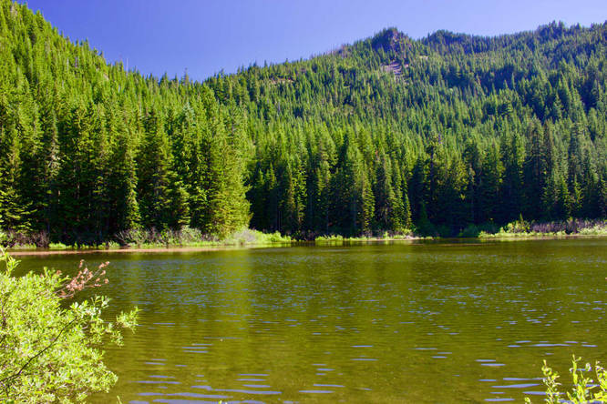
12.8 mi Moderate Loop Add to Trailmix: Log in to create a Trailmix What are Trailmixes? Twin Lakes and Palmateer Point Loop Government Camp, Oregon 0
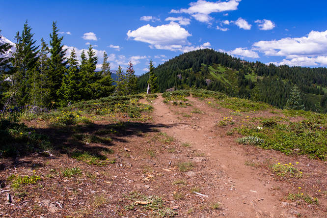
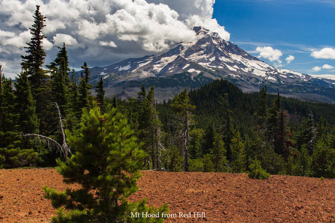
5.9 mi Moderate Out-and-Back Add to Trailmix: Log in to create a Trailmix What are Trailmixes? Owl Point, The Rockpile, and Red Hill Mount Hood, Oregon 0
11.3 mi Hard Out-and-Back Add to Trailmix: Log in to create a Trailmix What are Trailmixes? Big Slide Lake via Pansy Lake Trail Clackamas County, Oregon 0
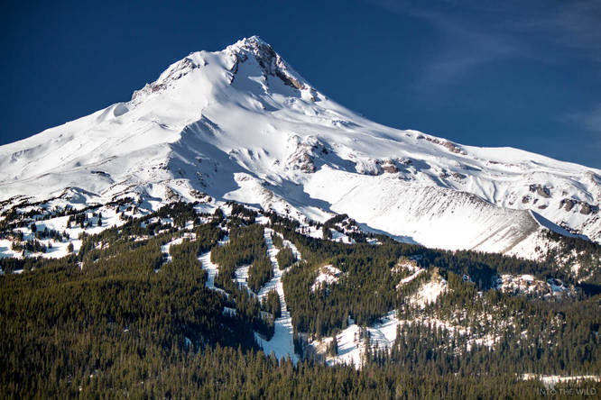
3.0 mi Moderate Out-and-Back Add to Trailmix: Log in to create a Trailmix What are Trailmixes? Bennet Pass Road Snowshoe and Cross-Country Ski Trail Mount Hood, Oregon 0
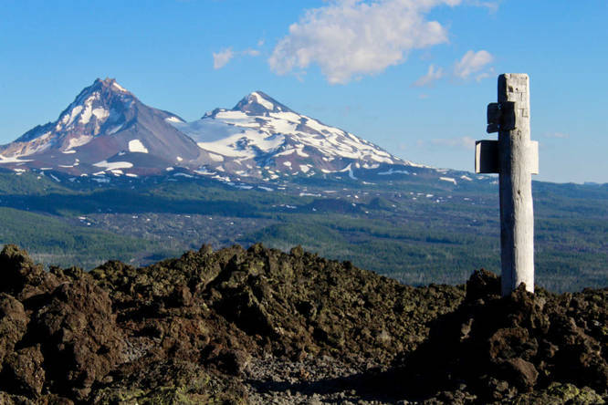
6.5 mi Hard Out-and-Back Add to Trailmix: Log in to create a Trailmix What are Trailmixes? Belknap Crater Trail Sisters, Oregon 0
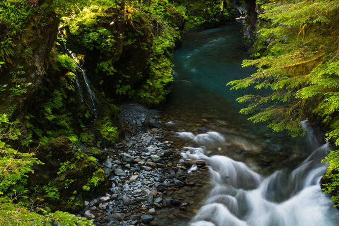
20.3 mi Hard Out-and-Back Add to Trailmix: Log in to create a Trailmix What are Trailmixes? Quinault River Trail Jefferson County, Washington 0
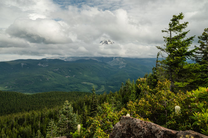
6.9 mi Moderate Out-and-Back Add to Trailmix: Log in to create a Trailmix What are Trailmixes? Shorthorn Trail to Shorthorn Butte (Point 6227) Yakima County, Washington 0
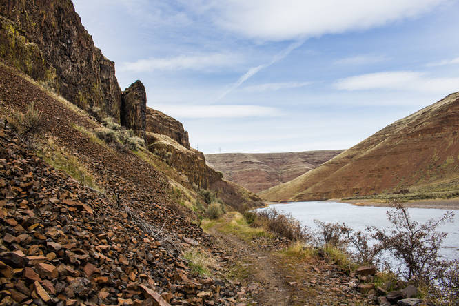
10.5 mi Moderate Out-and-Back Add to Trailmix: Log in to create a Trailmix What are Trailmixes? The Pinnacles Condon, Oregon 0
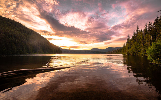
3.3 mi Moderate Out-and-Back Add to Trailmix: Log in to create a Trailmix What are Trailmixes? Lost Lake Butte Trail Lost Lake Resort, Oregon 0
3.7 mi Easy Loop Add to Trailmix: Log in to create a Trailmix What are Trailmixes? Lost Lake Loop Lost Lake Resort, Oregon 0
0.8 mi Easy Loop Add to Trailmix: Log in to create a Trailmix What are Trailmixes? Mt. Scott Nature Park Loop Happy Valley, Oregon 0
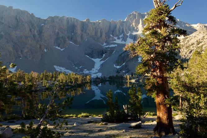
7.3 mi Moderate Out-and-Back Add to Trailmix: Log in to create a Trailmix What are Trailmixes? Matlock Lake Independence, California 0