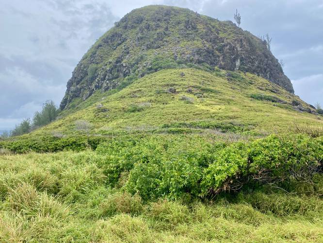
0.1 mi Easy Out-and-Back Add to Trailmix: Log in to create a Trailmix What are Trailmixes? Kahakuloa Head Trail Kahakuloa, Hawaii 0
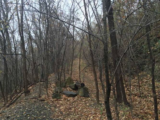
0.4 mi Moderate One-Way Add to Trailmix: Log in to create a Trailmix What are Trailmixes? Zigzag Trail Pittsburgh, Pennsylvania 0
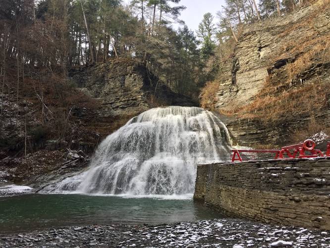
0.3 mi Easy Out-and-Back Add to Trailmix: Log in to create a Trailmix What are Trailmixes? Lower Falls Trail Ithaca, New York 5.0
0.7 mi Easy Loop Add to Trailmix: Log in to create a Trailmix What are Trailmixes? Hemlock Loop Trail Walton Hills, Ohio 0
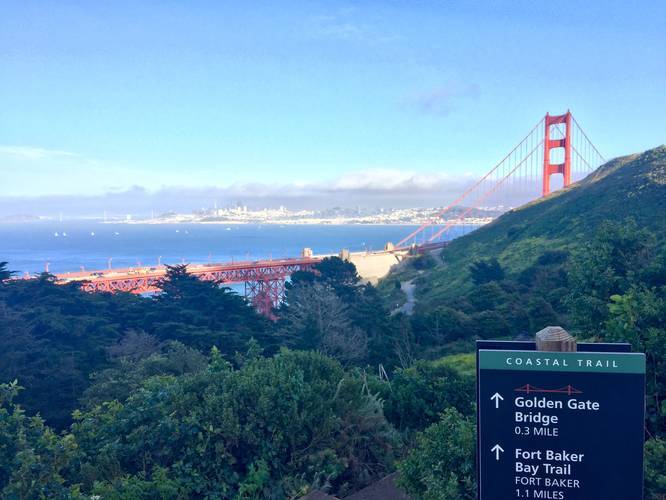
0.4 mi Easy One-Way Add to Trailmix: Log in to create a Trailmix What are Trailmixes? Coastal Trail Mill Valley, California 0
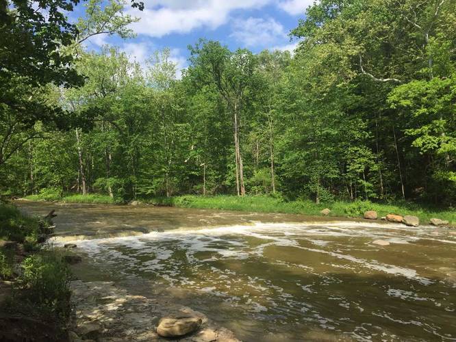
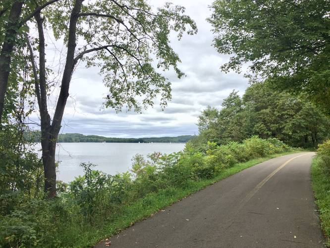
7.2 mi Easy Out-and-Back Add to Trailmix: Log in to create a Trailmix What are Trailmixes? Moraine Bike Trail Slippery Rock, Pennsylvania 0
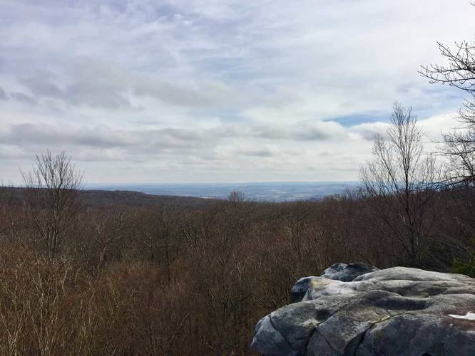
1.0 mi Easy Out-and-Back Add to Trailmix: Log in to create a Trailmix What are Trailmixes? Beam Rocks Trail Somerset, Pennsylvania 0
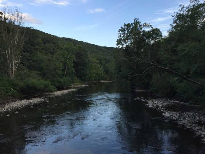
2.8 mi Moderate One-Way Add to Trailmix: Log in to create a Trailmix What are Trailmixes? Virginia Highlands Horse Trail Whitetop, Virginia 4.0
4.6 mi Hard Loop Add to Trailmix: Log in to create a Trailmix What are Trailmixes? Gerard Trail & Bike Trail Loop Titusville, Pennsylvania 0
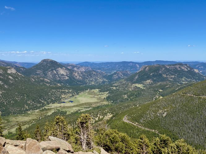
0.0 mi Easy Add to Trailmix: Log in to create a Trailmix What are Trailmixes? Rainbow Curve Overlook Estes Park, Colorado 0
1.3 mi Moderate Loop Add to Trailmix: Log in to create a Trailmix What are Trailmixes? Gas Well Trail Verona, Pennsylvania 0
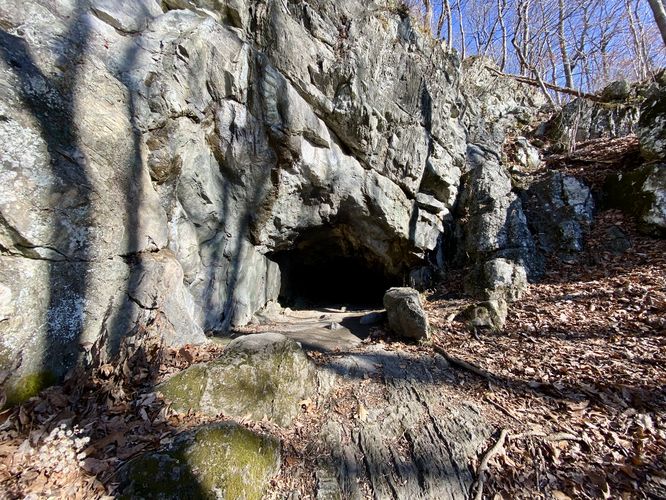
0.3 mi Easy Out-and-Back Add to Trailmix: Log in to create a Trailmix What are Trailmixes? Fairy Cave Trail Great Meadows, New Jersey 0