0.3 mi Easy Out-and-Back Add to Trailmix: Log in to create a Trailmix What are Trailmixes? West Glenwood Entrance Trail Scotts Valley, California 0
0.2 mi Easy Out-and-Back Add to Trailmix: Log in to create a Trailmix What are Trailmixes? Blue Gill Trail Franklin, Pennsylvania 0
0.8 mi Easy One-Way Add to Trailmix: Log in to create a Trailmix What are Trailmixes? Brien Palmer Trail Murrysville, Pennsylvania 0
0.4 mi Easy Out-and-Back Add to Trailmix: Log in to create a Trailmix What are Trailmixes? Red Oak Trail Murrysville, Pennsylvania 0
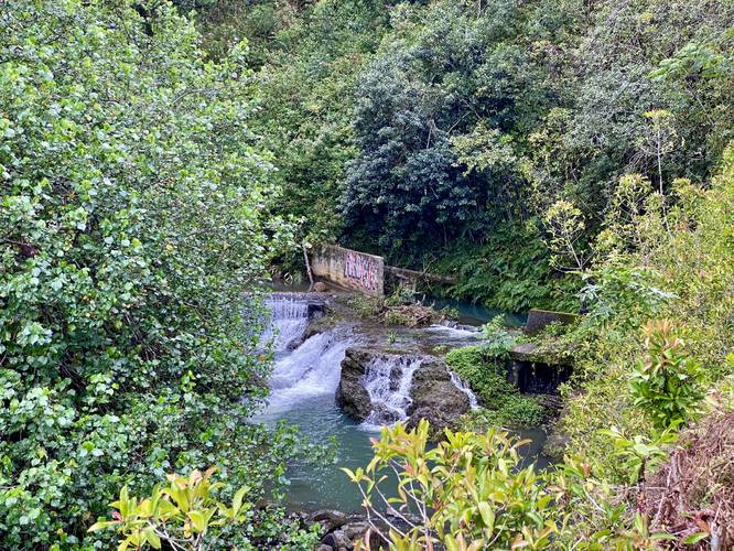
0.0 mi Easy Out-and-Back Add to Trailmix: Log in to create a Trailmix What are Trailmixes? Hoalua Falls Maui County, Hawaii 0
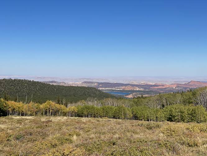
0.0 mi Easy Out-and-Back Add to Trailmix: Log in to create a Trailmix What are Trailmixes? Lower Bowns Reservoir Overlook Garfield County, Utah 0
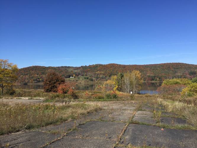
0.1 mi Easy Out-and-Back Add to Trailmix: Log in to create a Trailmix What are Trailmixes? South Overlook Trail Lawrenceville, Pennsylvania 0
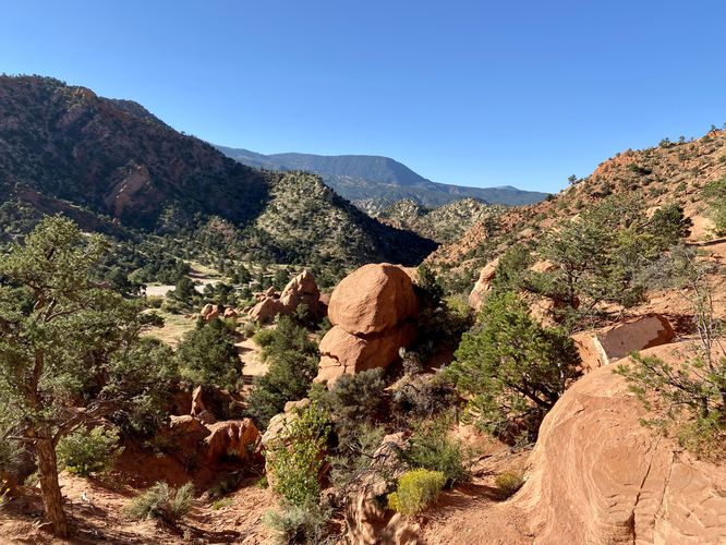
0.4 mi Moderate Loop Add to Trailmix: Log in to create a Trailmix What are Trailmixes? Thunderbird Gardens Disc Golf Loop Cedar City, Utah 0
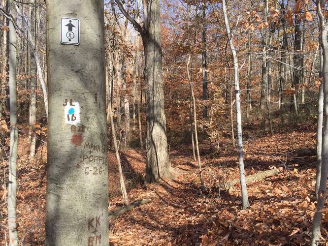
0.8 mi Easy One-Way Add to Trailmix: Log in to create a Trailmix What are Trailmixes? White & Blue Dot Trail Plum, Pennsylvania 0
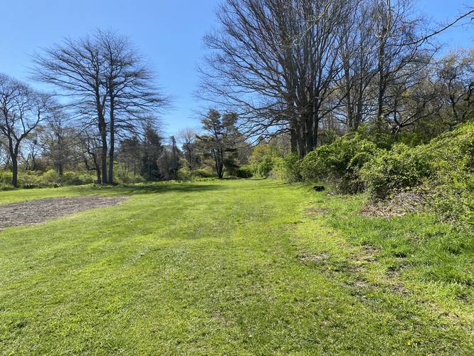
0.5 mi Easy One-Way Add to Trailmix: Log in to create a Trailmix What are Trailmixes? Beck Family Trail Barnstable, Massachusetts 0
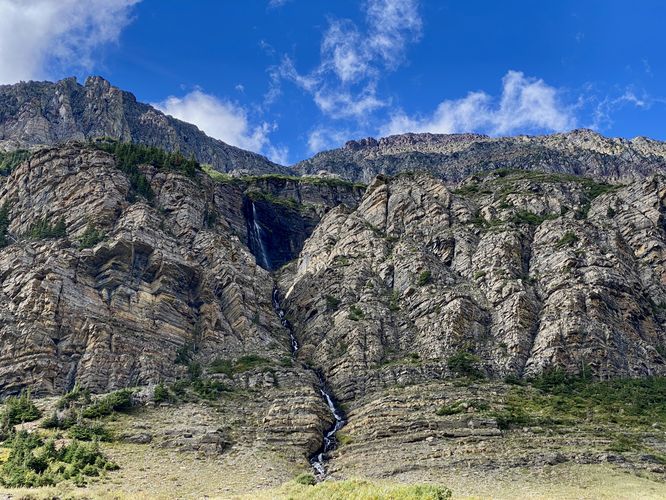
0.0 mi Easy Out-and-Back Add to Trailmix: Log in to create a Trailmix What are Trailmixes? Piegan Falls Lookout Saint Mary, Montana 3.0
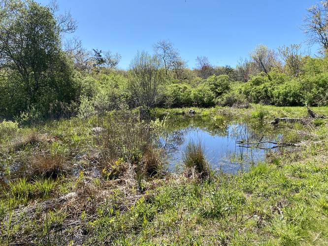
0.4 mi Easy One-Way Add to Trailmix: Log in to create a Trailmix What are Trailmixes? Long Pasture Trail Barnstable, Massachusetts 0