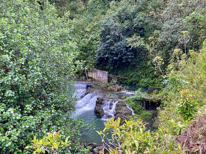
Hoalua Falls in Maui County, Hawaii (Maui) is a quick roadside stop on the Road to Hana that features a lookout of the 6-foot tall Hoalua Falls.
This not a hike and not even a walk, but rather a couple of steps out of your vehicle to view the waterfall from a very steep roadside cliff. Note that there's a super sketchy "trail" that leads from the road and likely runs down to the waterfall itself, but I skipped that as my footwear was nowhere near acceptable to be walking on such a dangerous path.
To play it safe, you can enjoy the waterfall from the parking turnout as Hoalua Falls sits just below in plain sight.
Parking
Visitors will find a tiny parking turnout at the coordinates provided, large enough to fit 1 vehicle.
Warnings
Steep terrain: On the opposite side of the road's guardrail is a very very steep drop. A sketchy skinny path leads along this cliff, but it's recommended that visitors stay on the road at the viewing spot.
Respecting the Land
Hawaiian land is considered sacred to native Hawaiians and many locals, so please stay on-trail, take nothing but photos, and leave nothing but footprints. Respect the locals - don't stay for long and have a backup hike planned in case the parking lot is full.