1.1 mi Easy Out-and-Back Add to Trailmix: Log in to create a Trailmix What are Trailmixes? Hulopo'e - Huawai Fisherman's Trail Lanai City, Hawaii 0
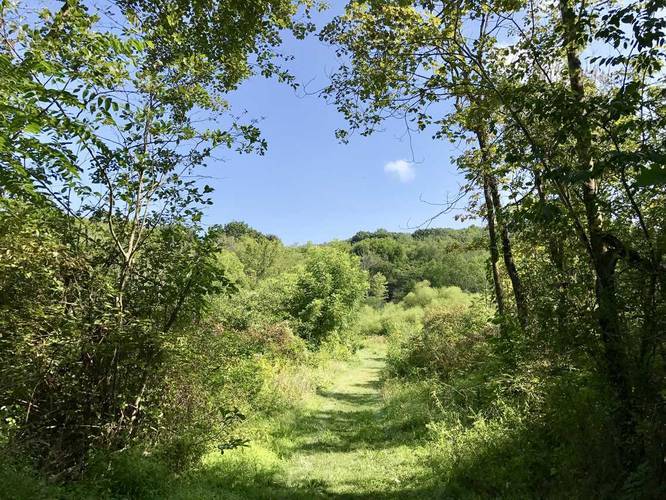
0.7 mi Easy Out-and-Back Add to Trailmix: Log in to create a Trailmix What are Trailmixes? McCune Run Trail Derry, Pennsylvania 0
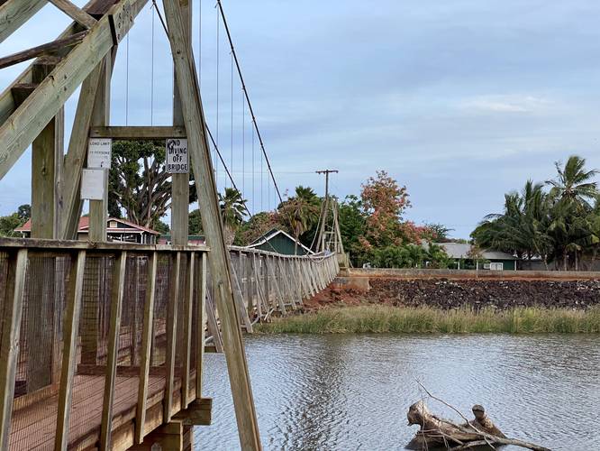
0.2 mi Easy Out-and-Back Add to Trailmix: Log in to create a Trailmix What are Trailmixes? Hanapepe Swinging Bridge Hanapepe, Hawaii 0
0.5 mi Easy Loop Add to Trailmix: Log in to create a Trailmix What are Trailmixes? White & Tan Blaze Trail Hampton Township, Pennsylvania 0
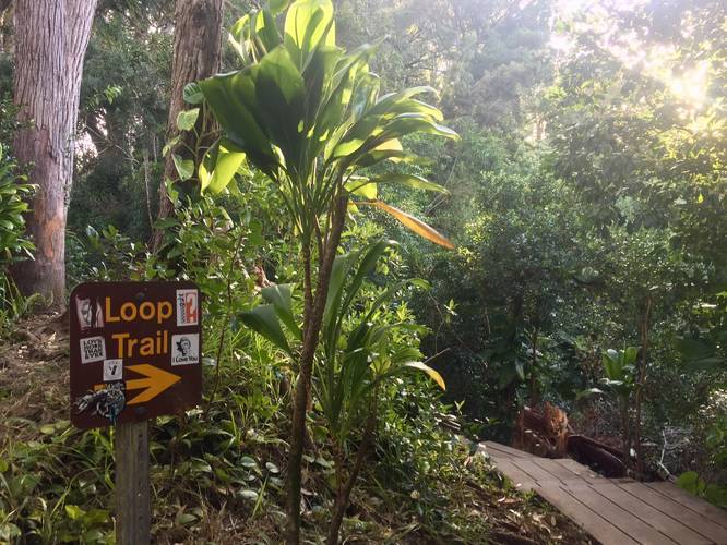
0.5 mi Easy Loop Add to Trailmix: Log in to create a Trailmix What are Trailmixes? Waikamoi Nature Trail Maui County, Hawaii 0
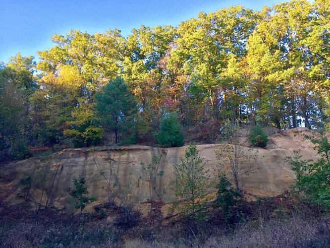
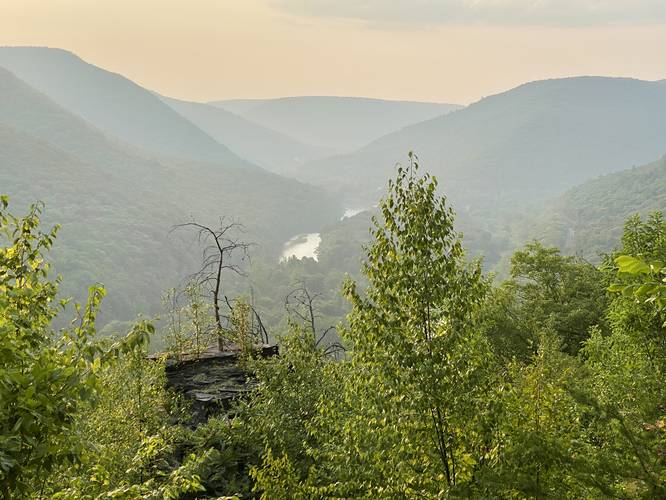
1.6 mi Strenuous Out-and-Back Add to Trailmix: Log in to create a Trailmix What are Trailmixes? Balanced Rock Vista Hike Waterville, Pennsylvania 0
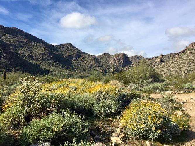
1.6 mi Easy Loop Add to Trailmix: Log in to create a Trailmix What are Trailmixes? Black Rock Long Loop Trail Waddell, Arizona 0
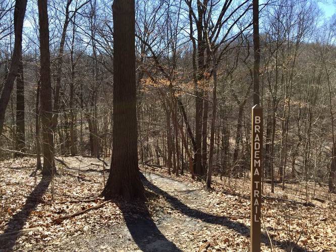
1.0 mi Moderate One-Way Add to Trailmix: Log in to create a Trailmix What are Trailmixes? Bradema Trail Pittsburgh, Pennsylvania 0
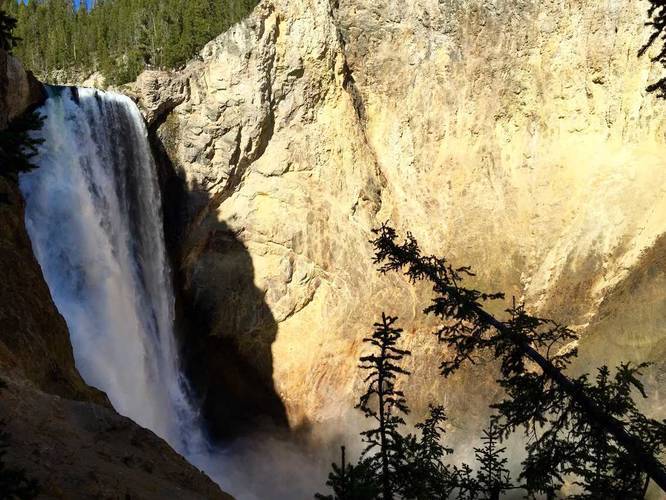
1.2 mi Strenuous Out-and-Back Add to Trailmix: Log in to create a Trailmix What are Trailmixes? Uncle Tom's Trail Yellowstone National Park, Wyoming 0
0.3 mi Easy Loop Add to Trailmix: Log in to create a Trailmix What are Trailmixes? Highmark Trail Aspinwall, Pennsylvania 0
0.3 mi Easy Loop Add to Trailmix: Log in to create a Trailmix What are Trailmixes? Washington Square Loop Trail Philadelphia, Pennsylvania 0
2.0 mi Moderate One-Way Add to Trailmix: Log in to create a Trailmix What are Trailmixes? South River Fire Rd Trail Stanardsville, Virginia 0