The Wild Apple Trail at Tioga State Forest in Gaines, Pennsylvania is a moderate 2.4-mile out-and-back trail that features a beautiful hike through the woods.
This recording begins at the eastern trailhead and follows the Wild Apple Trail uphill and over to the western trailhead before heading back. During late September, the trail was well-maintained with the occasional small tree blocking the trail, but for the most part was clear.
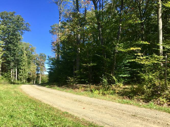
The trail works its way uphill, eventually crossing a road (technically the Dewey Hollow Trail to Summit), and then back downhill to to the western trailhead. There's really nothing to see along the trail, but during Autumn, the colorful leaves on the trees make it an especially nice woodland hike.
Parking
Parking at the eastern trailhead can be found at the coordinates provided; however, the parking area is located 200-feet down the road from the trailhead. This is because there's no good place to pull over to park at the trailhead.
Pets
Dogs are allowed if leashed and their waste must be carried out by the hiker.
Biking
Mountain biking is permitted along this trail.
Western Trailhead
The Wild Apple Trail's western terminus can be found along the Dewey Hollow Trail, which is a service road at the state forest.
Camping
Camping is technically allowed off of this trail, but no designated campsites can be seen from the trail. Backpackers must be aware of the state forest's primitive camping rules before heading out. More information can be found on the park's site.
Winter Road Conditions
Tioga State Forest does not maintain this road during the winter. Do not attempt driving on this road without proper equipment including snow tires and/or chains unless the road is clear. High wind storms may also cause trees to fall across the road, making the road impassible. If you plan to visit during the winter, plan accordingly.
This recording begins at the eastern trailhead and follows the Wild Apple Trail uphill and over to the western trailhead before heading back. During late September, the trail was well-maintained with the occasional small tree blocking the trail, but for the most part was clear.
The trail works its way uphill, eventually crossing a road (technically the Dewey Hollow Trail to Summit), and then back downhill to to the western trailhead. There's really nothing to see along the trail, but during Autumn, the colorful leaves on the trees make it an especially nice woodland hike.
Parking
Parking at the eastern trailhead can be found at the coordinates provided; however, the parking area is located 200-feet down the road from the trailhead. This is because there's no good place to pull over to park at the trailhead.
Pets
Dogs are allowed if leashed and their waste must be carried out by the hiker.
Biking
Mountain biking is permitted along this trail.
Western Trailhead
The Wild Apple Trail's western terminus can be found along the Dewey Hollow Trail, which is a service road at the state forest.
Camping
Camping is technically allowed off of this trail, but no designated campsites can be seen from the trail. Backpackers must be aware of the state forest's primitive camping rules before heading out. More information can be found on the park's site.
Winter Road Conditions
Tioga State Forest does not maintain this road during the winter. Do not attempt driving on this road without proper equipment including snow tires and/or chains unless the road is clear. High wind storms may also cause trees to fall across the road, making the road impassible. If you plan to visit during the winter, plan accordingly.