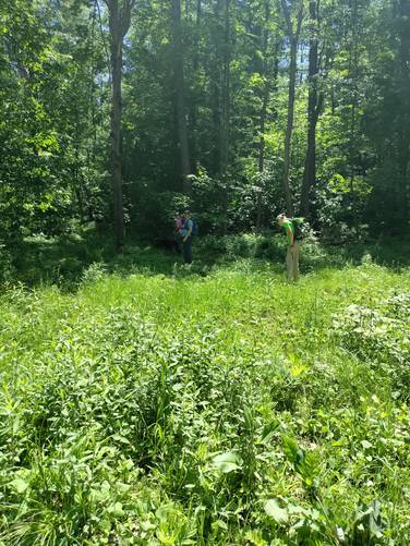
The South Hill Loop at Tioga State Forest near Middlebury Township, Pennsylvania is a moderate 2.8-mile loop trail that passes through a pine forest at the summit of South Hill and is generally a peaceful hike through the woods.
Hike Description
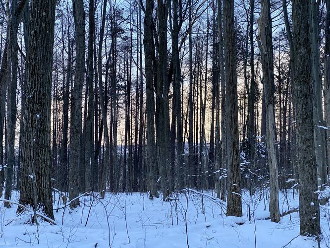
This trail begins near the junction of Norris Brook Rd and Baldwin Run Rd and follows a red blazed trail for about 0.5-miles. Around mile 0.5, hikers will reach a junction - here, this GPS recording stays to the right-hand side to first hit the summit of South Hill. At this junction, the trail will begin to follow yellow blazes until the hiker loops back to this spot. Note that there are no views on this hike; however, during the winter at the yellow-blazed junction, hikers may notice the mountains in the distance through the trees (see the view POI on the map).
South Hill Summit - Mile 0.7
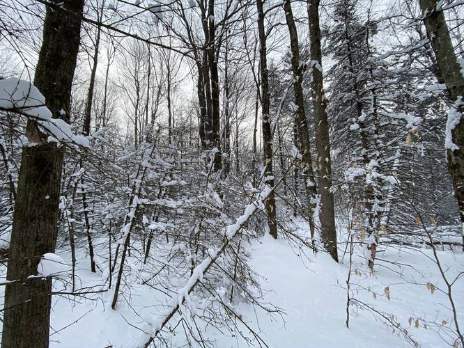
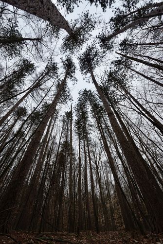
Around mile 0.7, hikers will finally reach the summit of South Hill; however, the summit is located just off-trail within a beautiful red pine and hemlock grove. I'd argue the highlight of this hike is near the summit - especially if snowshoeing in the winter after a recent snowfall.
Hiking the Loop
After passing the summit, the trail will wind its way slightly uphill before finally descending South Hill to reach a service road. Along the way, hikers may reach a very wet swampy area - here I managed to hike around this by hiking approximately 30-feet off-trail and around. Once at the service road, hike down the road until you reach a grove of hemlock and pine trees - here, take a left-hand turn to head up the mountain once again. One the way up the mountain, the trail will cross a couple of small creeks as it follows the yellow blazes back to the red blaze trail that leads to parking.
Parking
Hikers will find parking at the coordinates provided along Sand Rd.
Pets
Dogs are allowed if leashed and their waste should be carried out by the hiker.
Blaze Color
This trail follows red blazes for the out-and-back section before following yellow blazes for the loop portion.
Camping and Backpacking
While there were no campsites along this trail, backpackers and campers can camp off-trail here. Please follow all rules and regulations when dispersed / backcountry / primitive camping.
Pine Creek Pinnacles (PCP20)
This hike is part of the Pine Creek Pinnacles hiking challenge. For more information, details, and FAQs, please visit our Pine Creek Pinnacles (PCP20) page.
Hike Description
This trail begins near the junction of Norris Brook Rd and Baldwin Run Rd and follows a red blazed trail for about 0.5-miles. Around mile 0.5, hikers will reach a junction - here, this GPS recording stays to the right-hand side to first hit the summit of South Hill. At this junction, the trail will begin to follow yellow blazes until the hiker loops back to this spot. Note that there are no views on this hike; however, during the winter at the yellow-blazed junction, hikers may notice the mountains in the distance through the trees (see the view POI on the map).
South Hill Summit - Mile 0.7
Around mile 0.7, hikers will finally reach the summit of South Hill; however, the summit is located just off-trail within a beautiful red pine and hemlock grove. I'd argue the highlight of this hike is near the summit - especially if snowshoeing in the winter after a recent snowfall.
Hiking the Loop
After passing the summit, the trail will wind its way slightly uphill before finally descending South Hill to reach a service road. Along the way, hikers may reach a very wet swampy area - here I managed to hike around this by hiking approximately 30-feet off-trail and around. Once at the service road, hike down the road until you reach a grove of hemlock and pine trees - here, take a left-hand turn to head up the mountain once again. One the way up the mountain, the trail will cross a couple of small creeks as it follows the yellow blazes back to the red blaze trail that leads to parking.
Parking
Hikers will find parking at the coordinates provided along Sand Rd.
Pets
Dogs are allowed if leashed and their waste should be carried out by the hiker.
Blaze Color
This trail follows red blazes for the out-and-back section before following yellow blazes for the loop portion.
Camping and Backpacking
While there were no campsites along this trail, backpackers and campers can camp off-trail here. Please follow all rules and regulations when dispersed / backcountry / primitive camping.
Pine Creek Pinnacles (PCP20)
This hike is part of the Pine Creek Pinnacles hiking challenge. For more information, details, and FAQs, please visit our Pine Creek Pinnacles (PCP20) page.