Ready to explore one of the most iconic views in the Italian Dolomites? The Seceda Ridge Trail loop, easily accessible from Ortisei, features an unforgettable alpine experience without requiring a full day of strenuous hiking. This short, moderate, but spectacular 2.7 km (1.7 mile) hike begins right at the top of the gondola, leading you to dramatic views of jagged peaks along Seceda Ridge.
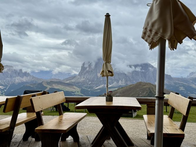
This trail guide leads hikers up to the summit of Monte Seceda where you'll find breathtaking views of the Val Gardena region, high above Ortisei, before following the magnificent Seceda Ridge downhill with legendary alpine views of the Dolomites. Following the loop trail, you'll stop by at the Sofie Hut for a bite to eat and espresso to refuel before circling back to complete the hike. An epic Dolomites adventure awaits on this trail!
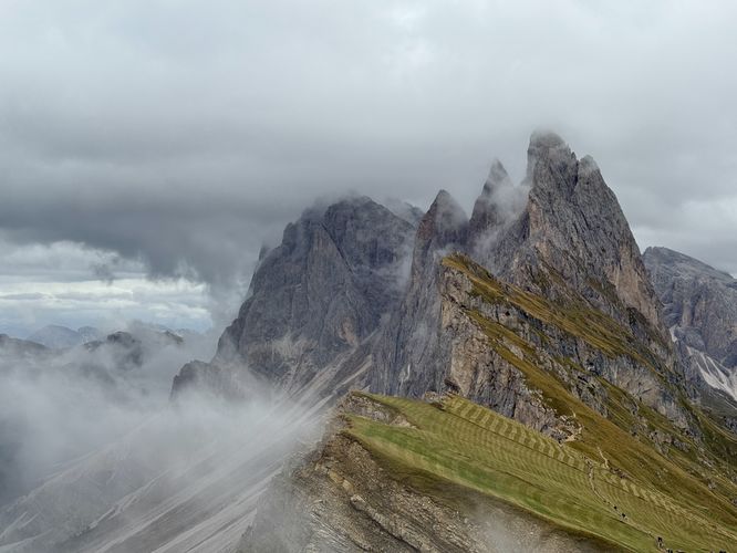
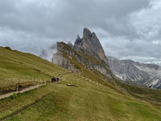
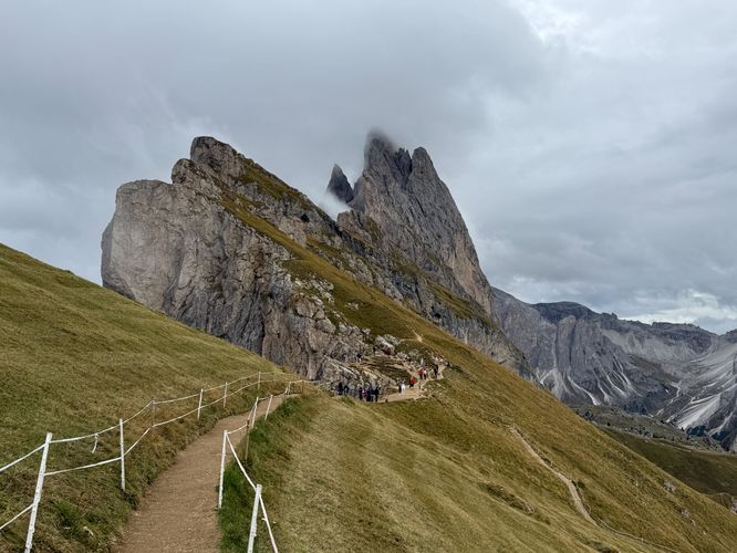
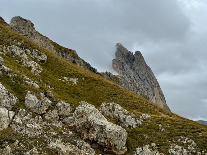
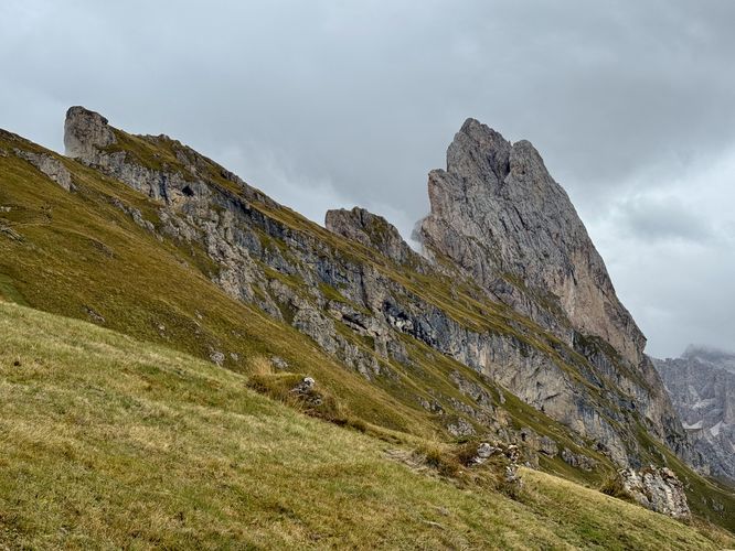
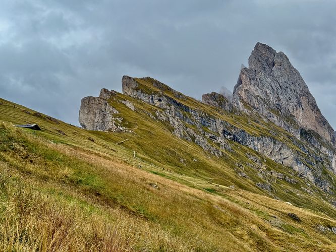
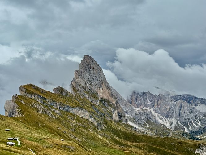
To the east of Monte Seceda's summit sit, what are arguably the best views of Seceda Ridge and its jagged alpine peaks. Hike the Seceda Ridge Trail east to reach these viewpoints, but be warned that this popular trail will generally have crowds of people looking to take photos from the best vantage points. If you can find a spot along the ridge fence, you'll find stunning views of one of the most iconic views in all of the Italian Dolomites! Be sure to take as many pictures, videos, and memories as you can from these viewpoints as they are probably the best along the entire route.
This trail guide leads hikers up to the summit of Monte Seceda where you'll find breathtaking views of the Val Gardena region, high above Ortisei, before following the magnificent Seceda Ridge downhill with legendary alpine views of the Dolomites. Following the loop trail, you'll stop by at the Sofie Hut for a bite to eat and espresso to refuel before circling back to complete the hike. An epic Dolomites adventure awaits on this trail!
An Epic Seceda Ridge Trail Loop Hike
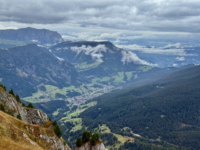
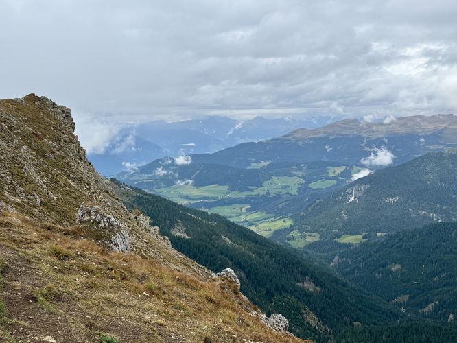
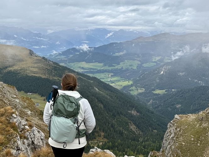
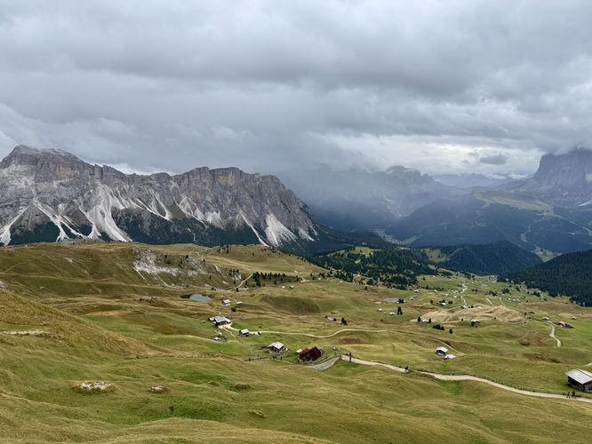
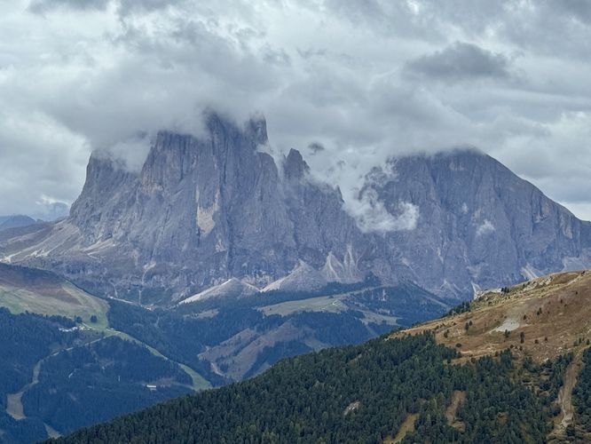
This hike begins at the top of the gondola station, located just below the summit of Monte Seceda near Ortisei, Italy. After riding the gondola up 1,150 meters (3,700 feet) from Ortisei, hikers will find themselves standing high above Val Gardena with breathtaking views of a sprawling alpine meadow landscape below their feet. Before heading up to the Monte Seceda summit, we first walked south to reach views of Ortisei and the Val Gardena region, with dramatic backdrop views of one of the Dolomites famous mountain ranges, the Langkofel Group of Alpe di Siusi. Taking in the views from outside of the gondola station, you can acclimate to the change in altitude while enjoying beautiful alpine vistas before heading up to the summit of Monte Seceda.The Iconic Seceda Summit and Ridge Views
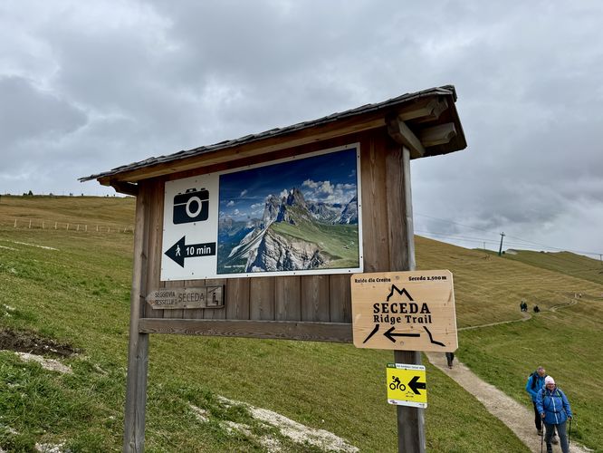
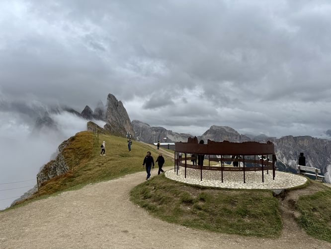
After exploring the views near the Seceda gondola station, the real hiking begins. Simply follow the Seceda Ridge Trail, and signage along the way, to reach the summit of Monte Seceda. At 2,400 meters (7,800 feet) above sea level, you may find yourself a bit out of breath as you start to climb toward the summit. Along the way up, you can enjoy distant views of the jagged peaks along Seceda Ridge, but you'll mostly be focused on keeping up with your breath while you ascend. Once on the summit, hikers will find a massive crucifix that stands tall over Val Gardena and Ortisei near the edge of the mountain. On the summit also sits a circular metal exhibit that depicts the nearby mountain peaks, which is a neat stop along the hike.To the east of Monte Seceda's summit sit, what are arguably the best views of Seceda Ridge and its jagged alpine peaks. Hike the Seceda Ridge Trail east to reach these viewpoints, but be warned that this popular trail will generally have crowds of people looking to take photos from the best vantage points. If you can find a spot along the ridge fence, you'll find stunning views of one of the most iconic views in all of the Italian Dolomites! Be sure to take as many pictures, videos, and memories as you can from these viewpoints as they are probably the best along the entire route.