The Red Trail at Lindsay-Parsons Biodiversity Preserve in
West Danby, New York is an easy 0.8-mile one-way trail that features
meadow, mountain, and kettle pond views.
Hike Description
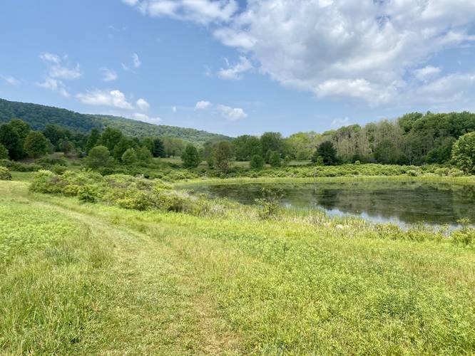
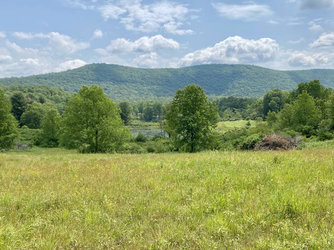
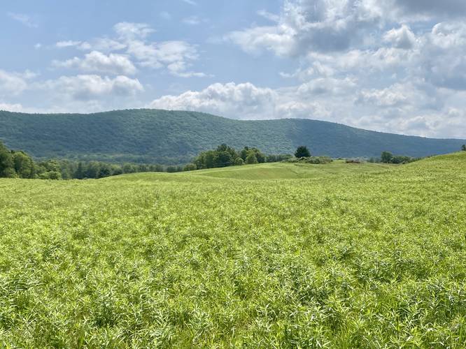
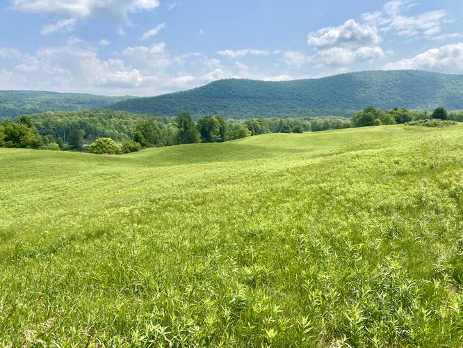
This trail begins along the Blue Trail at the park, but this track leads hikers from the eastern-most trailhead and heads west along the Red Trail. Hikers will enjoy views of the surrounding mountains, Big Kettle Pond, and the open meadows that this trail encompasses. Along the way, hikers will pass or can pick up the Yellow Trail in the northeast corner and again in the north-central part of this trail.
Views
Hikers will find views throughout almost the entire trail no matter which way you hike it; however, some of the best views are near the Big Kettle Pond (north) and along the western portion.
Eventually the trail will meander its way south again to reach the Blue Trail.
Parking
Visitors will find a parking lot at the coordinates provided. It's large enough to fit a half-dozen vehicles or slightly more.
Pets
Dogs are allowed only if leashed and must be cleaned up after.
Warnings
Buggy: This trail can be very buggy during warmer months. The kettle holes, ponds, stagnant bodies of water, and long grasses help mosquitos, horseflies, and even ticks thrive here.
Poison ivy: This trail tends to have a lot of poison ivy located just off-trail. The path is skinny as well, which makes it easy to accidentally step on the poison ivy as well.
Hike Description
This trail begins along the Blue Trail at the park, but this track leads hikers from the eastern-most trailhead and heads west along the Red Trail. Hikers will enjoy views of the surrounding mountains, Big Kettle Pond, and the open meadows that this trail encompasses. Along the way, hikers will pass or can pick up the Yellow Trail in the northeast corner and again in the north-central part of this trail.
Views
Hikers will find views throughout almost the entire trail no matter which way you hike it; however, some of the best views are near the Big Kettle Pond (north) and along the western portion.
Eventually the trail will meander its way south again to reach the Blue Trail.
Parking
Visitors will find a parking lot at the coordinates provided. It's large enough to fit a half-dozen vehicles or slightly more.
Pets
Dogs are allowed only if leashed and must be cleaned up after.
Warnings
Buggy: This trail can be very buggy during warmer months. The kettle holes, ponds, stagnant bodies of water, and long grasses help mosquitos, horseflies, and even ticks thrive here.
Poison ivy: This trail tends to have a lot of poison ivy located just off-trail. The path is skinny as well, which makes it easy to accidentally step on the poison ivy as well.