The Poe Lake Dam Trail at Poe Valley State Park near Coburn, Pennsylvania is an easy universally-accessible 0.3-mile out-and-back trail that runs atop the lake's dam and features views of the water and the surrounding mountains.
Walk
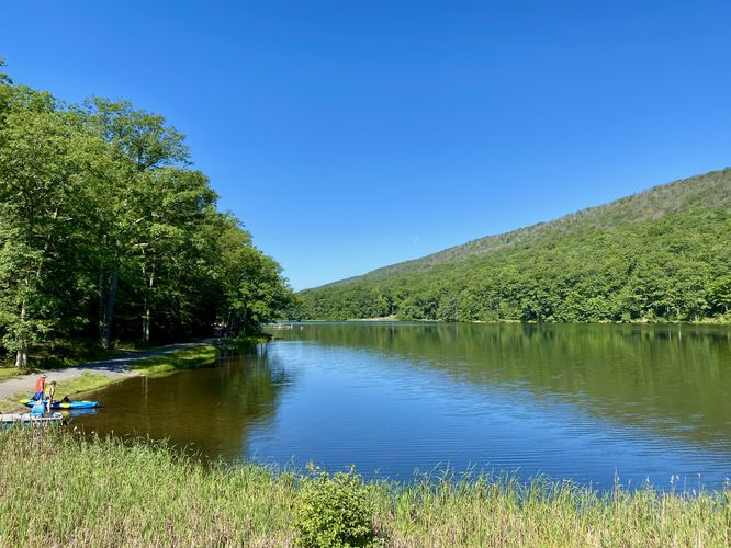
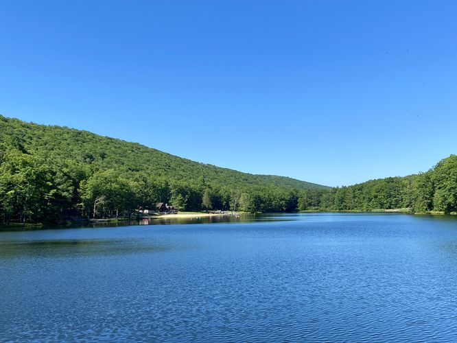
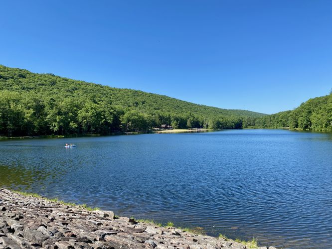
This is not a hike, but rather a very short walk that features views of Poe Lake. The trailhead is located on the eastern end of the one-way loop drive at the park. Hikers can park on the loop road and walk down the trail to reach the dam. The entire trail is paved and universally-accessible as of July 2024. Once on the dam, visitors will find beautiful views of Poe Lake and its surrounding mountains. At the far end of the trail is a very shallow-graded spillway that takes any overflow water and sends it downstream out of the lake. After exploring the views, the hike back to parking is a short 0.15-mile jaunt.
If planning to explore further at the park, be sure to check out the Poe Lake Trail and the Poe Valley Nature Trail before you leave if you wish to explore more of the park.
Universally-Accessible
This trail is universally-accessible and follows a crushed stone and paved pathway as of July 2024
Parking
Hikers will find parking along the main entrance road to the park. This one-way road curves around the bend at the far-side of the park (near the campground). Where the road turns a hairpin turn is the dam and located just beyond the "no parking" signs along the road are some on-road parking turnouts.
Pets
Dogs are allowed only if leashed and must be cleaned up after.
Walk
This is not a hike, but rather a very short walk that features views of Poe Lake. The trailhead is located on the eastern end of the one-way loop drive at the park. Hikers can park on the loop road and walk down the trail to reach the dam. The entire trail is paved and universally-accessible as of July 2024. Once on the dam, visitors will find beautiful views of Poe Lake and its surrounding mountains. At the far end of the trail is a very shallow-graded spillway that takes any overflow water and sends it downstream out of the lake. After exploring the views, the hike back to parking is a short 0.15-mile jaunt.
If planning to explore further at the park, be sure to check out the Poe Lake Trail and the Poe Valley Nature Trail before you leave if you wish to explore more of the park.
Universally-Accessible
This trail is universally-accessible and follows a crushed stone and paved pathway as of July 2024
Parking
Hikers will find parking along the main entrance road to the park. This one-way road curves around the bend at the far-side of the park (near the campground). Where the road turns a hairpin turn is the dam and located just beyond the "no parking" signs along the road are some on-road parking turnouts.
Pets
Dogs are allowed only if leashed and must be cleaned up after.