The Parking to Skyline Trail at the Skyline Wilderness Park in Napa, California is an easy 1.1-mile out-and-back trail that serves as the only access point to the western trails at the park.
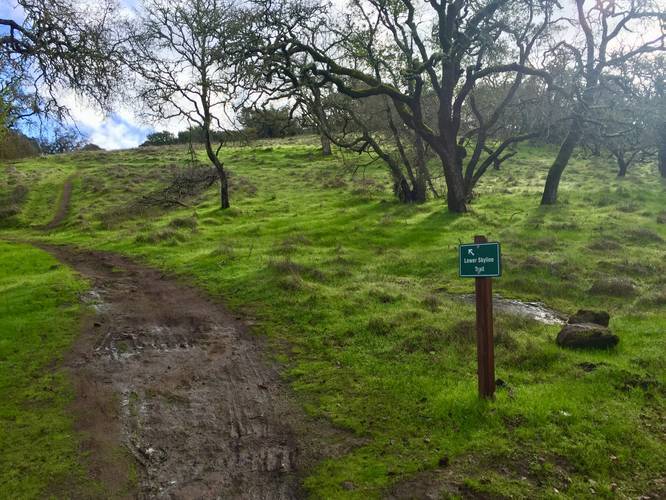
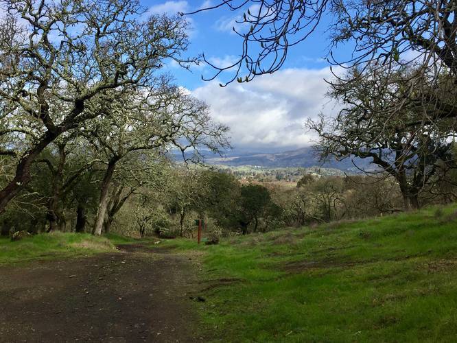
This short and easy trail beings at the parking lot and follows the dirt trail beyond the Martha Walker Garden and eventually reaches a paved park road. Hikers will find signs pointing the way to trail access - once at the road junction, follow the "trails" signs. The initial turn that leads to the gate is Lake Marie Road - a very popular day hike trail for runners and families.
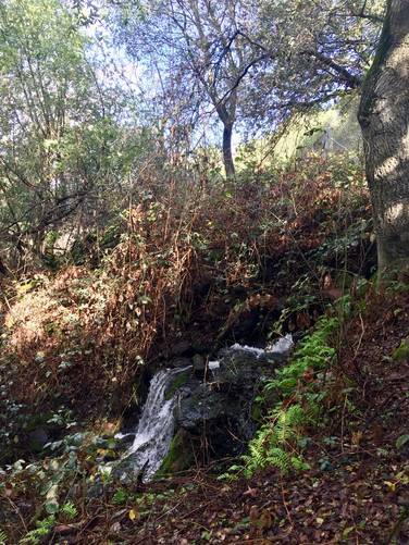
After passing beyond the first gate, which states the trails gate closes in the evening, hikers will pass a culvert waterfall opposite Lake Louise which is worth a look. Lake Louise itself can be an interesting sight with pond plants growing high above the water - forming what appears to be a layer of moss that sits on top of the water. This moss-like structure is tinted red with patches of green.
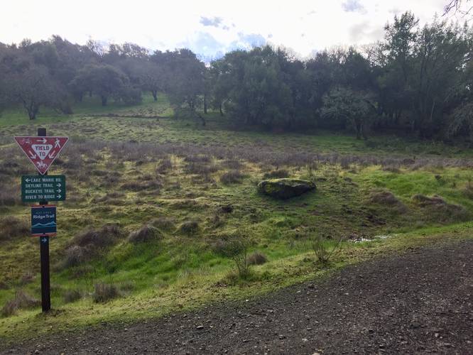
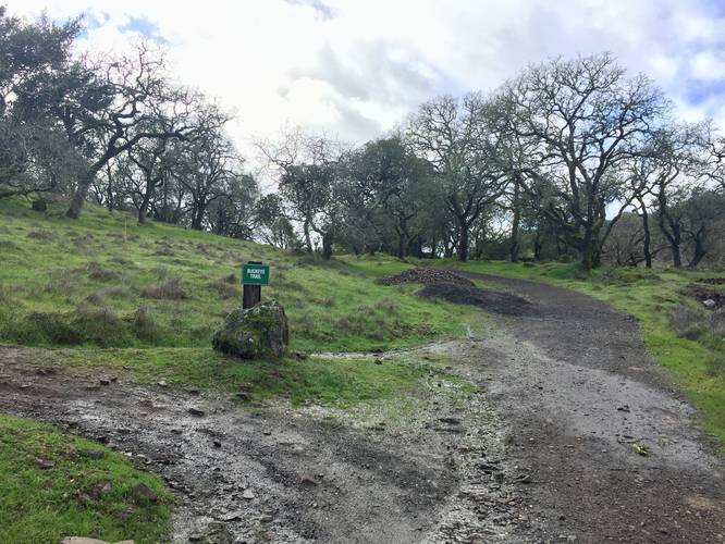
Just after Lake Louise is the first trail junction that leads off of Lake Marie Road and up to the Skyline Trail. Hikers should take this right-hand turn at the junction to reach the Skyline Trail. Not far after the turn are a couple more trail junctions. Hikers will pass each of these trail junctions until they reach the trailhead for the Skyline Trail.
Warning
Beware of Rattlesnakes, Wild pigs, poison oak, ticks, and mountain lions. Mountain lions, in particular, are seldom seen but are known to attack without warning. Keep children close as mountain lions seem to be especially drawn to them. Avoid hiking alone. Make plenty of noise while hiking to reduce the chances of surprising a lion.
History
In the late 1970's the Napa State Hospital made land available and interested citizens rallied to save the valuable oak woodland which became Skyline Wilderness Park.
Fees
There is an entry fee for Skyline Wilderness Park. As of January 2020, the fee was $5 for a two axle vehicle. Check the Skyline Wilderness Park website for more accurate and up-to-date details.
Parking
Hikers will find parking at the coordinates provided. The lot is large enough to fit a few dozen vehicles, but the lot fills up quickly.
Pets
Dogs are not allowed on the trails at Skyline Wilderness Park.
Hours
Gates open at 7AM and close at 5PM. The gate to the park's trails also closes so if hikers get stuck, they will need to call the local police for help (stated on signs hiking in).
Biking
Mountain biking is allowed on this trail.
This short and easy trail beings at the parking lot and follows the dirt trail beyond the Martha Walker Garden and eventually reaches a paved park road. Hikers will find signs pointing the way to trail access - once at the road junction, follow the "trails" signs. The initial turn that leads to the gate is Lake Marie Road - a very popular day hike trail for runners and families.
After passing beyond the first gate, which states the trails gate closes in the evening, hikers will pass a culvert waterfall opposite Lake Louise which is worth a look. Lake Louise itself can be an interesting sight with pond plants growing high above the water - forming what appears to be a layer of moss that sits on top of the water. This moss-like structure is tinted red with patches of green.
Just after Lake Louise is the first trail junction that leads off of Lake Marie Road and up to the Skyline Trail. Hikers should take this right-hand turn at the junction to reach the Skyline Trail. Not far after the turn are a couple more trail junctions. Hikers will pass each of these trail junctions until they reach the trailhead for the Skyline Trail.
Warning
Beware of Rattlesnakes, Wild pigs, poison oak, ticks, and mountain lions. Mountain lions, in particular, are seldom seen but are known to attack without warning. Keep children close as mountain lions seem to be especially drawn to them. Avoid hiking alone. Make plenty of noise while hiking to reduce the chances of surprising a lion.
History
In the late 1970's the Napa State Hospital made land available and interested citizens rallied to save the valuable oak woodland which became Skyline Wilderness Park.
Fees
There is an entry fee for Skyline Wilderness Park. As of January 2020, the fee was $5 for a two axle vehicle. Check the Skyline Wilderness Park website for more accurate and up-to-date details.
Parking
Hikers will find parking at the coordinates provided. The lot is large enough to fit a few dozen vehicles, but the lot fills up quickly.
Pets
Dogs are not allowed on the trails at Skyline Wilderness Park.
Hours
Gates open at 7AM and close at 5PM. The gate to the park's trails also closes so if hikers get stuck, they will need to call the local police for help (stated on signs hiking in).
Biking
Mountain biking is allowed on this trail.