The North Mountain East Loop Hike at North Mountain Park in Phoenix, Arizona is a moderate 3 mile loop that leads out to views of downtown Phoenix and Shaw Butte.
This hike starts off at the parking lot at the visitor center and follows the Charles M. Christiansen Memorial Trail (#100) east and under the road's underpass before heading into the eastern hills of North Mountain Park.
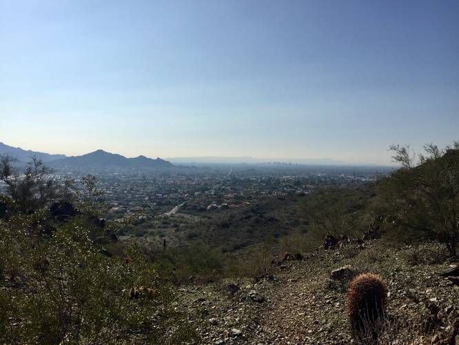
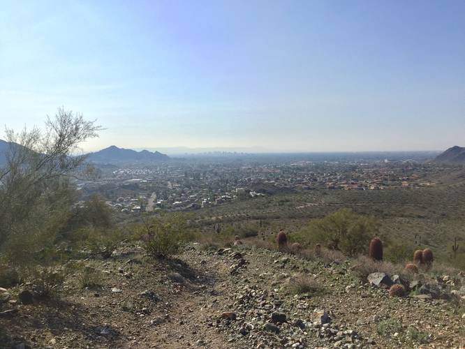
Continue following Trail #100 for a total of 0.9 miles from the parking lot to an unmarked trail that leads up to multiple lookout points. You can find this trail shortly after the first main ascent (see the elevation chart for more details).
After stopping at the lookout points, with views of downtown Phoenix, continue to head northeast to hop back onto Trail #100. Follow Trail #100 for about 0.3 miles until you reach a couple of trail junctions - continue to head north and follow the unmarked trail uphill. At this point, you'll pass the final Trail #100 marker on your right-hand side as you ascend the hill.
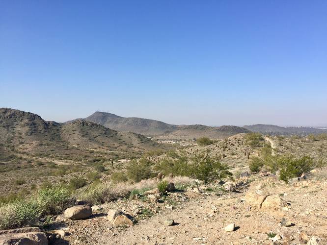
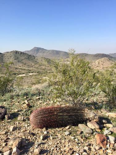
Follow the trail uphill to where it eventually levels out and descends on the western side. From this hill you get views of Phoenix, but mainly Shaw Butte to the southwest.
After descending from the northern hill, you can continue straight and hike between the smaller hills directly west - follow signs for Trail #25. Follow Trails #25 as it turns south and loops back to the original spur trail that lead in from the parking lot.
Views: Most views on this hike can be found on the southern and northern sections of the loop. The southern section has views of downtown Phoenix, while the northern section has views of Shaw Butte.
This hike starts off at the parking lot at the visitor center and follows the Charles M. Christiansen Memorial Trail (#100) east and under the road's underpass before heading into the eastern hills of North Mountain Park.
Continue following Trail #100 for a total of 0.9 miles from the parking lot to an unmarked trail that leads up to multiple lookout points. You can find this trail shortly after the first main ascent (see the elevation chart for more details).
After stopping at the lookout points, with views of downtown Phoenix, continue to head northeast to hop back onto Trail #100. Follow Trail #100 for about 0.3 miles until you reach a couple of trail junctions - continue to head north and follow the unmarked trail uphill. At this point, you'll pass the final Trail #100 marker on your right-hand side as you ascend the hill.
Follow the trail uphill to where it eventually levels out and descends on the western side. From this hill you get views of Phoenix, but mainly Shaw Butte to the southwest.
After descending from the northern hill, you can continue straight and hike between the smaller hills directly west - follow signs for Trail #25. Follow Trails #25 as it turns south and loops back to the original spur trail that lead in from the parking lot.
Views: Most views on this hike can be found on the southern and northern sections of the loop. The southern section has views of downtown Phoenix, while the northern section has views of Shaw Butte.