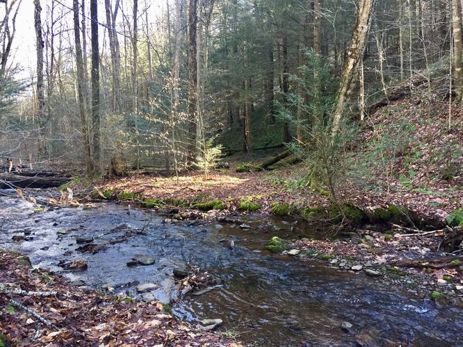
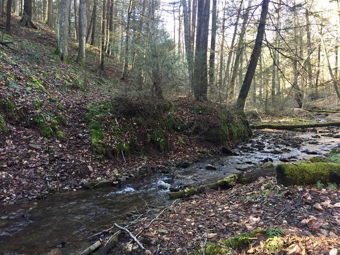
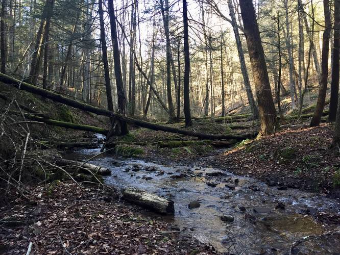
The Little Slate Run Trail at Tioga State Forest in Elk Township, Pennsylvania is an easy 0.7-mile out-and-back trail that leads to the West Rim Trail (W.R.T) and back to parking.
Little Slate Run Trail heads gradually downhill for 0.35-miles before reaching its eastern-most terminus along the W.R.T. Day hikers and short-term backpackers will find this trail useful as a way to hop onto the W.R.T quickly; however, there's not much else to see along the trail. Hikers will mostly enjoy the scenic creek - Little Slate Run and the vibrant green moss that seems to stick around alongside the trail year-round.
Be sure to check out the scenic Little Slate Run Falls across the street from this trailhead as well.
Creek Crossings
This trail, while easy, also has three creek crossings. None of the creek crossings are all that difficult, but may be more challenging for backpackers carrying a lot more weight. This trail requires legwork to get across the creek crossings or hikers can plan to get their feet wet instead.
Camping
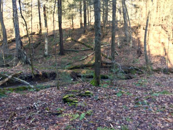
The Little Slate Run Trail has one pre-built campfire ring; however, it sits next to a creek runoff from a neighboring hill. During wetter months and after a heavy rain, this campsite is likely not usable. Backpackers will find plenty of campsites just down the trail along the West Rim Trail.
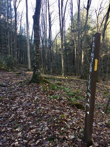
Blaze Color
This trail follows yellow blazes.
Parking
Hikers can find parking at the coordinates provided in the turnout area along the side of the road.
Winter Road Conditions
Tioga State Forest does not maintain this road during the winter. Do not attempt driving on this road without proper equipment including snow tires and/or chains unless the road is clear. High wind storms may also cause trees to fall across the road, making the road impassible. If you plan to visit during the winter, plan accordingly.
Little Slate Run Trail heads gradually downhill for 0.35-miles before reaching its eastern-most terminus along the W.R.T. Day hikers and short-term backpackers will find this trail useful as a way to hop onto the W.R.T quickly; however, there's not much else to see along the trail. Hikers will mostly enjoy the scenic creek - Little Slate Run and the vibrant green moss that seems to stick around alongside the trail year-round.
Be sure to check out the scenic Little Slate Run Falls across the street from this trailhead as well.
Creek Crossings
This trail, while easy, also has three creek crossings. None of the creek crossings are all that difficult, but may be more challenging for backpackers carrying a lot more weight. This trail requires legwork to get across the creek crossings or hikers can plan to get their feet wet instead.
Camping
The Little Slate Run Trail has one pre-built campfire ring; however, it sits next to a creek runoff from a neighboring hill. During wetter months and after a heavy rain, this campsite is likely not usable. Backpackers will find plenty of campsites just down the trail along the West Rim Trail.
Blaze Color
This trail follows yellow blazes.
Parking
Hikers can find parking at the coordinates provided in the turnout area along the side of the road.
Winter Road Conditions
Tioga State Forest does not maintain this road during the winter. Do not attempt driving on this road without proper equipment including snow tires and/or chains unless the road is clear. High wind storms may also cause trees to fall across the road, making the road impassible. If you plan to visit during the winter, plan accordingly.