The Island of the Commune Loop at Boucherville Islands National Park in Boucherville, QC is an easy 6 km loop hike that features beautiful views of the Saint Lawrence River along with meadow views on the island.
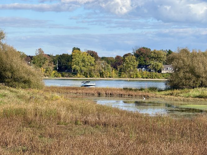
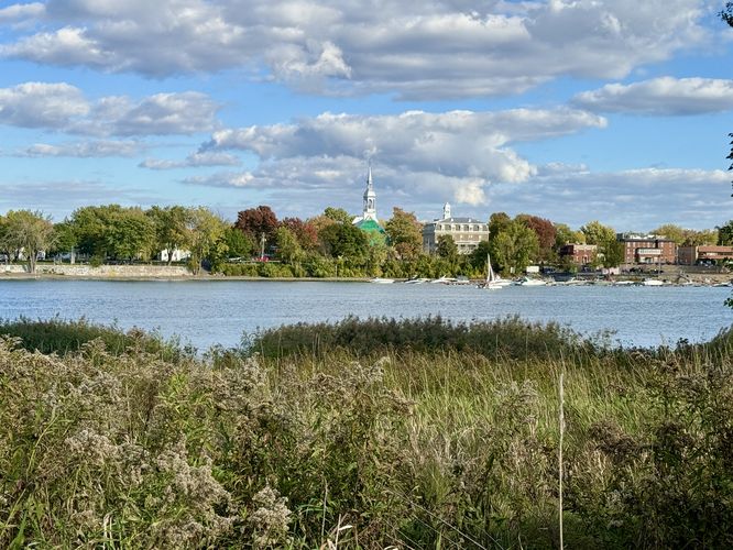
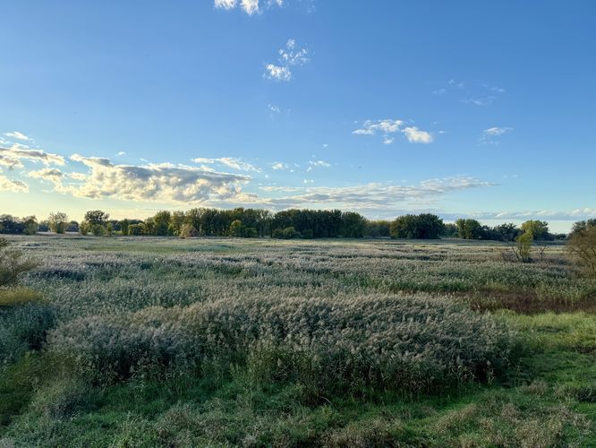
Once on the island, this route leads hikers in a counter-clockwise loop. On the eastern side of the Island of the Commune are a couple of lookout points where you'll find views of the Saint Lawrence River and the town of Boucherville located across the water. There are also seldom views westward into the massive meadow that the trail encompasses.
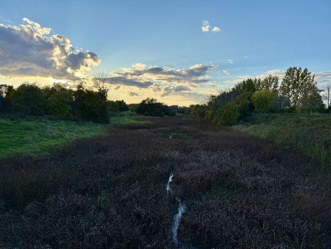
After exploring the meadow overlook, the trail leads eastward as it runs along the southern-most part of the Island of the Commune. This section of trail has very little to note with no views or anything of the sort; however, you can watch golfers on the island located to the south. During our adventure here, we found at least a dozen different deer eating dinner along this section of the trail as we hiked out and back to parking during the late evening. The trail eventually ends where you started, along the bridge at Saint Marguerite Island for an easy 6 km loop hike.
Parking & Fees
Hikers will find parking located at the park on Saint Marguerite Island. During our adventure here, we hiked-in along the Saint Marguerite Island Loop (North) and parked in the 2nd largest parking lot near the visitors center. As of November 2024, there's a $15 fee to enter the park.
Exploring the Island of the Commune
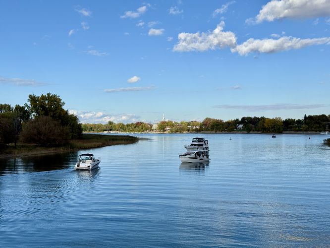
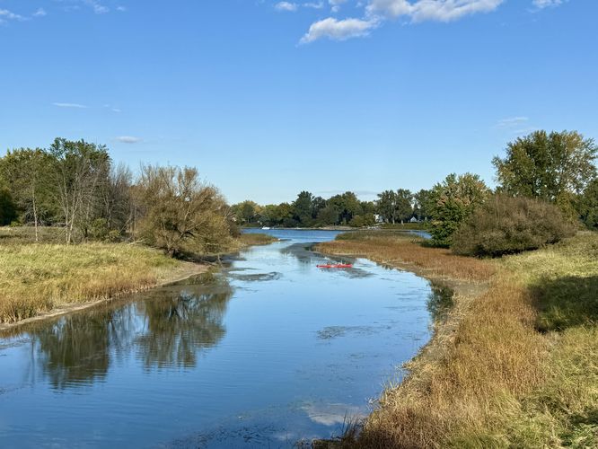
This hike begins at the southern bridge that connects Saint Marguerite Island to the Island of the Commune. As you pass over the bridge, you'll find views in both directions of the water channel (La Grande Riviere) within the river that separates both islands. During warm months, you'll likely find kayakers paddling through La Grande Riviere. During our visit, we found a beautiful heron standing in the water with the backdrop of the river and Boucherville in the distance.Once on the island, this route leads hikers in a counter-clockwise loop. On the eastern side of the Island of the Commune are a couple of lookout points where you'll find views of the Saint Lawrence River and the town of Boucherville located across the water. There are also seldom views westward into the massive meadow that the trail encompasses.
La Passe & Boucherville Island - 2.3 km
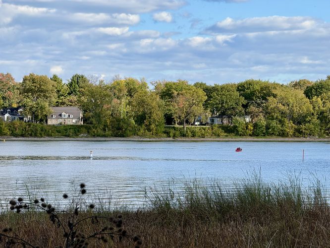
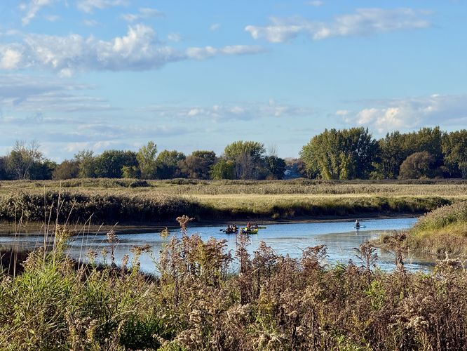
Around 2.3 km from the trailhead, hikers will reach the bridge that connects the Island of the Commune to Boucherville Island. Here, the bridge spans La Passe -- another water channel in the Saint Lawrence River that provides east and westward views of the islands and water that separate them. Again, during warm months, you'll likely find kayakers paddling through.Saint Lawrence River & La Passe View - 2.95 km
As the trail bends to the south, hikers will pass another beautiful view of La Passe as it flows into the western side of the Saint Lawrence River.Grape Island Loop - 3.37 km
As you hike the loop, eventually you'll reach a trailhead for Grape Island and the Grape Island Loop around 3.37 km from the trailhead. If you wish to extend your adventure, you can hike the Grape Island Loop for an additional 2.4 km.Meadow Overlook - 4.44 km
At the southwestern corner of the Island of the Commune is a short spur trail that leads away from the main trail and out to a metal structure with an overlook of the meadow that sits between this island and Grape Island. This overlook is accessible to all except for the metal stairs that lead to a higher viewing platform. The meadow can be enjoyed from either part of the structure whether you can climb stairs or not.After exploring the meadow overlook, the trail leads eastward as it runs along the southern-most part of the Island of the Commune. This section of trail has very little to note with no views or anything of the sort; however, you can watch golfers on the island located to the south. During our adventure here, we found at least a dozen different deer eating dinner along this section of the trail as we hiked out and back to parking during the late evening. The trail eventually ends where you started, along the bridge at Saint Marguerite Island for an easy 6 km loop hike.