The Grape Island Loop at Boucherville Islands National Park in Boucherville, QC is an easy 2.4 km loop hike that encompasses Grape Island and features beautiful views of the Saint Lawrence River.
The trail passes through a stand of white birch trees before it comes to a junction and point along the southern end of the island. At this junction, hikers can continue straight to reach the Island of the Commune Trail once again or they can stay on this route to loop around Grape Island.
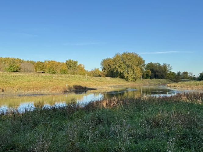
The trail continues northward, passing through very tall grasses -- some as high as 3 meters tall. The trail begins to bend around the north end of Grape Island, around 1.7 km from the trailhead, where you'll find one last water view of a channel of the Saint Lawrence River.
After passing the last view, the trail winds back through the forest before reaching the spur trail that connects back to the Island of the Commune Loop. The Grape Island Loop ends back at the Island of the Commune for a short and easy 2.4 km hike.Parking & Fees
Hikers will find parking located at the park on Saint Marguerite Island. During our adventure here, we hiked-in along the Saint Marguerite Island Loop (North) and parked in the 2nd largest parking lot near the visitors center. As of November 2024, there's a $15 fee to enter the park.
Hiking Grape Island
This hike begins along the western side of the Island of the Commune Loop where the main trailhead leads to Grape Island. The route provided encompasses the island clockwise, so just after you step foot on Grape Island, you'll want to take a left-hand turn first. Just before the loop junction though, take a look around (especially during the end of Summer or early Fall) to find grapes and grape vines growing in and around the trees, hence the island's name.The trail passes through a stand of white birch trees before it comes to a junction and point along the southern end of the island. At this junction, hikers can continue straight to reach the Island of the Commune Trail once again or they can stay on this route to loop around Grape Island.
River Views - 0.87 km
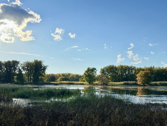
As the trail heads northward along the western side of Grape Island, hikers will approach a viewing platform around 0.87 km from the trailhead. This wooden platform provides a raised overlook where hikers can get a view of the Saint Lawrence River.More River Views - 1.08 km
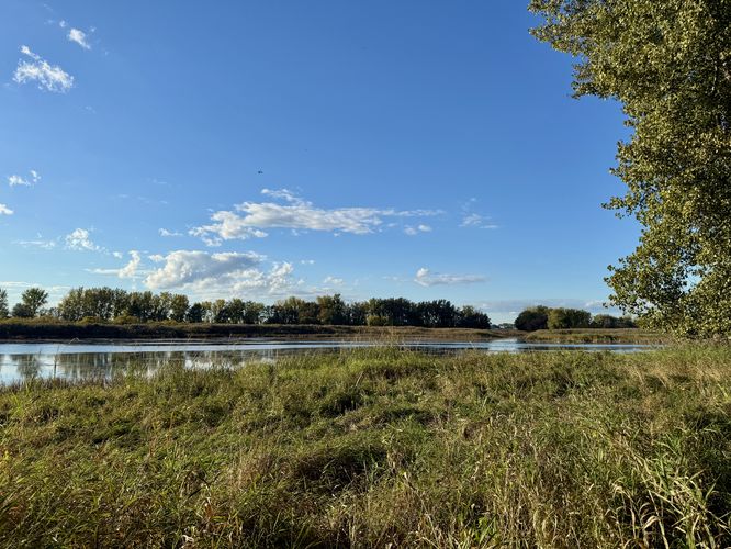
Just up the trail from the wooden viewing platform is another view of the Saint Lawrence River, located around 1.08 km from the trailhead.The trail continues northward, passing through very tall grasses -- some as high as 3 meters tall. The trail begins to bend around the north end of Grape Island, around 1.7 km from the trailhead, where you'll find one last water view of a channel of the Saint Lawrence River.
After passing the last view, the trail winds back through the forest before reaching the spur trail that connects back to the Island of the Commune Loop. The Grape Island Loop ends back at the Island of the Commune for a short and easy 2.4 km hike.