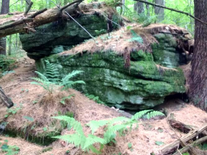
The Gas Well Hollow Connector Trail at Austin Dam Memorial Park in Austin, Pennsylvania is a moderate 1-mile trail. This pathway services as a foot-only hiking link between the Jones Run Connector Trail to the Sinnemahoning Valley Railroad Trail. This hiking trail transverses across a ridgeline from the head of Stuckey Hollow at the top of the Jones Run Connector Trail to the southwest to the mouth of Gas Well Hollow. A favorite of this hike is a side-hill slope journey through an impressive stand of old-growth white pines at the bottom of Gas Well hollow.
Trails
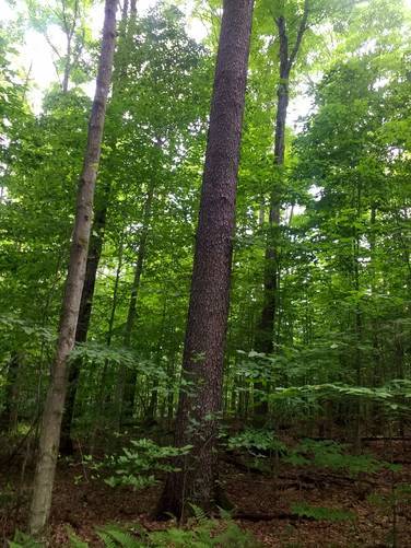
This hiking trail begins on the ridgeline at the head of Stuckey Hollow at the top of the Jones Run Connector Trail that links to the Austin Dam Memorial Park. This track lies entirely within Susquehannock State Forest. This tracks lies on a gradually descending ridgeline that leads to southwest and finishes through an old-growth white pine forest as the hiker descends from the high ridge to the parking area along PA Route 607 at the intersection of Gas Well Road.
Parking
Hikers can find parking at the coordinates provided; next to the trailhead, along PA Route 607 at the intersection of Gas Well Road. Another option is to park at Austin Dam Memorial Park and hike to Sinnemahoning Valley Railroad Trail using Jones Run Connector Trail and Gas Well Connector Trail as a connector routes to the Sinnemahoning Valley Railroad Trail.
Pets
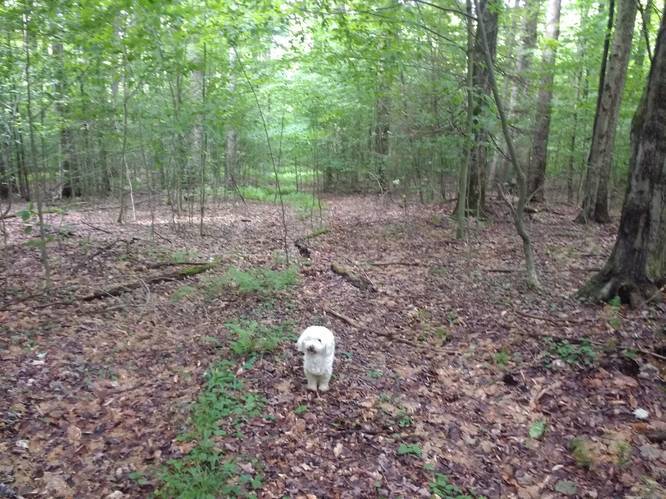
Dogs are allowed if leashed.
Camping
Camping is permitted in Austin Dam Memorial Park and also on the state forest lands (borders blazed with white). For dispersed and primitive camping in the state forest, please follow the state forest rules and regulations and only camp on state lands.