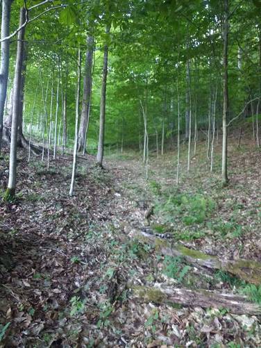
Update (March 23, 2025): As mentioned in the update last fall, logging (clear cutting) as occurred on the state forest land. This has made the western edge of this trail extremely difficult to hike, and has basically blocked the path in this section. Hiking will require crawling over and across several downed trees blocking the trail.
Update (Aug 2, 2024): There is active logging occurring at the State Forest lands around the unmarked half-mile-connector trail that ascends the woodland draft to a hog-back ridge at the head of Stuckey Hollow. This is at the western edge of this trail. This makes following and finding the trail more difficult in this section.
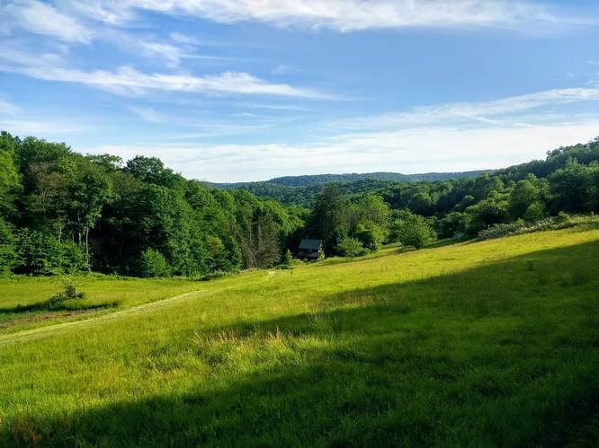
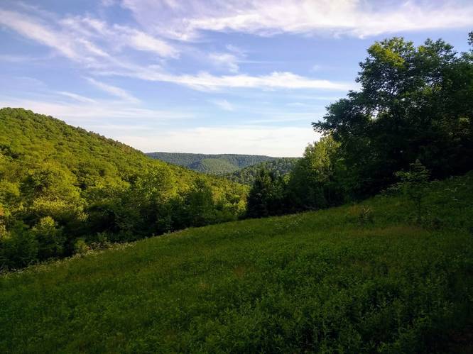
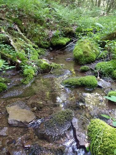
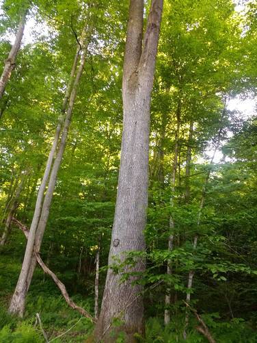
The Jones Run Connector Trail at Austin Dam Memorial Park in Austin, Pennsylvania is a moderate 5-mile loop trail. The trail treks along small creek known as Jones Run and then uses an unmarked half-mile-connecter trail to ascend a woodland draft to a hog-back ridge at the head of Stuckey Hollow. The trailhead for the draft begins in the grassy clearing, along the Jones Run Forest Service Road, that is now overgrown with tall grass and weeds, and appears to have once been pastures and fields on an old farmstead along Jones Run, Once atop of ridge, the hiker turns left to continue eastward along a forested trail that transverses across the mostly flat ridgeline to the head the Donavan Hollow. The hardwood forest is grand along the way. There are several eye-catching mountain-top views, most notably at the head of Donovan Hollow where a farmstead clearing gives the hiker spacious eyeshot looking south at about 3.3 mile into the walk. This track finishes on private logging roads (gated and walk-in only) as the hiker descends on an unnamed switch-back trail on private land that runs from the high ridge back to the parking area at the Austin Dam Memorial Park.
Some clear cutting on the State Forest lands has been done to large sections of the slope between the ridge line at the head of Stuckey Hollow and the Jones Run Road that detracts from the over-all unspoiled nature of these state lands. The hike is laid out so as to avoid the clear-cut sections, which have a thick regrowth of brush and briars and are nearly impossible to walk through.
Trails
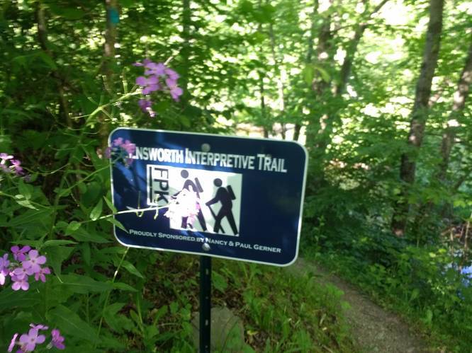
This loop trail begins and ends next to the Austin Dam Memorial Park; however, much of the track lies within Susquehannock State Forest. This track follows a mix of forest trails, logging roads, and state forest roads. First, the Austin Dam Trail and the Ensworth Interpretive Trail within the Austin Dam Memorial Park are followed along Freeman Run to arrive at Jones Run Road. Jones Run Road is a combination of a private (walk-in only) section at the lower end and a state forest section at the upper end which both have been gated and are closed to public vehicles.
Hikers can find parking at the main lot for Austin Dam. The entrance sign, located on PA Route-872, has two roads that lead out from it. Follow the road that immediately crosses a small bridge - do not drive down the hill to the north camping area since the Austin Dam is about 1-mile away from this spot. Following the graveled road that crosses the bridge will bring you down to the concrete dam.
Pets
Dogs are allowed if leashed.
Camping
Camping is permitted in Austin Dam Memorial Park and also on the state forest lands (borders blazed with white). For dispersed and primitive camping in the state forest, please follow the state forest rules and regulations and only camp on state lands.
Private Land
This trail crosses some private land to connect to the state forest. Please respect the land owners and stay on the trail at all times.
Water Source
Hikers can use water filters along the adjacent Jones Run on this hike. Water spigots are available within Austin Dam Memorial Park (non-winter seasons only). There is also a natural spring at the Austin Dam Memorial Park's Northern Campground that is blazed with blue markers.