The Casco Bay - Ledges Loop at Wolfe's Neck Woods State Park
near Freeport, Maine is an easy loop hike that features beautiful views of Casco Bay.
Hike
This hike begins at the very-end of the universally-accessible White Pines Trail at the park where hikers will first begin the trail by hiking downhill to reach a beach area in Casco Bay. If you start this hike from the parking lot, plan to add ~0.2-miles to the total length of this hike for a ~1.1-mile loop.
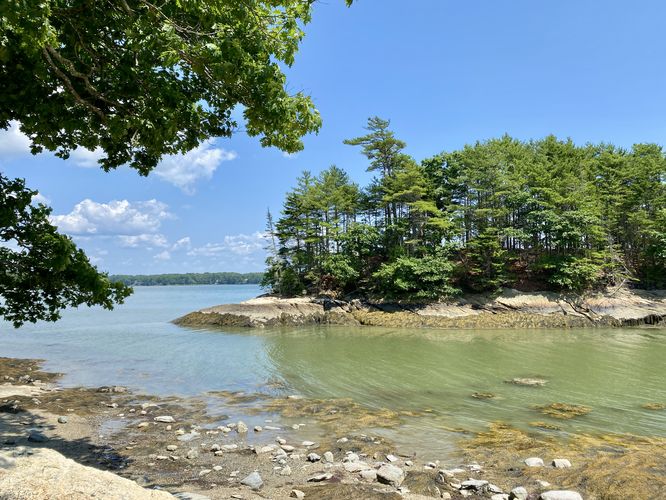
Hikers will first find a small trail that leads to the edge of the bay that leads to the Rocky Shore Beach. This route leads visitors not directly to the beach but rather the opposite way to find views of a small island in the bay located just offshore.
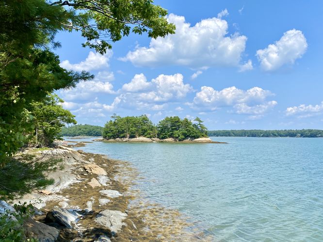
Casco Bay View - Mile 0.25
The trail continues down the shoreline and reaches another view of Casco Bay around mile 0.25. You can also take a dip in the water here if you wish, as there's additional water access. Here, you'll also find a nice view of that small offshore island you passed earlier.
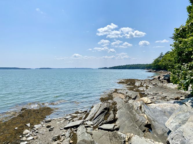
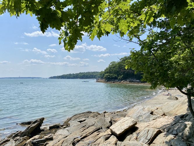
Tidal Beach and Casco Bay Views - Mile 0.5
Around mile 0.5, hikers will reach the third and last viewpoint of Casco Bay by following another short spur trail out to the water. This trail provides hikers and visitors will access to the Tidal Beach where you can take a dip in the bay to cool off during the Summer.
Ledge Trail - Mile 0.6
At mile 0.6, hikers will take a right-hand turn on the Ledge Trail which leads back to parking. The Ledge Trail doesn't have anything to see along the way but provides a peaceful forest setting.
Hikers will reach the parking lot around mile 0.9 to complete this short loop hike with the White Pines Trail.
Parking & Fees
There's a per-person entry fee, as of July 2024. For non-residents, it's a $6/adult fee. For Maine residents, the fee is $4/adult. Hikers will find a large parking lot at the end of the park's entrance road which can hold several dozen vehicles as of July 2024.
Pets
Dogs are allowed only if leashed and must be cleaned up after.
Hike
This hike begins at the very-end of the universally-accessible White Pines Trail at the park where hikers will first begin the trail by hiking downhill to reach a beach area in Casco Bay. If you start this hike from the parking lot, plan to add ~0.2-miles to the total length of this hike for a ~1.1-mile loop.
Hikers will first find a small trail that leads to the edge of the bay that leads to the Rocky Shore Beach. This route leads visitors not directly to the beach but rather the opposite way to find views of a small island in the bay located just offshore.
Casco Bay View - Mile 0.25
The trail continues down the shoreline and reaches another view of Casco Bay around mile 0.25. You can also take a dip in the water here if you wish, as there's additional water access. Here, you'll also find a nice view of that small offshore island you passed earlier.
Tidal Beach and Casco Bay Views - Mile 0.5
Around mile 0.5, hikers will reach the third and last viewpoint of Casco Bay by following another short spur trail out to the water. This trail provides hikers and visitors will access to the Tidal Beach where you can take a dip in the bay to cool off during the Summer.
Ledge Trail - Mile 0.6
At mile 0.6, hikers will take a right-hand turn on the Ledge Trail which leads back to parking. The Ledge Trail doesn't have anything to see along the way but provides a peaceful forest setting.
Hikers will reach the parking lot around mile 0.9 to complete this short loop hike with the White Pines Trail.
Parking & Fees
There's a per-person entry fee, as of July 2024. For non-residents, it's a $6/adult fee. For Maine residents, the fee is $4/adult. Hikers will find a large parking lot at the end of the park's entrance road which can hold several dozen vehicles as of July 2024.
Pets
Dogs are allowed only if leashed and must be cleaned up after.