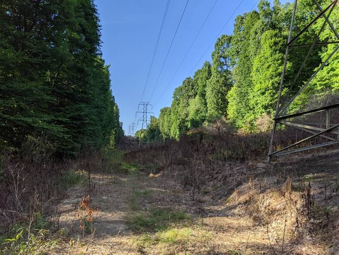
The White Loop Trail at Boyce Park in Plum, Pennsylvania is a moderate 2-mile trail through the central hills of the park. You'll pass through various types of forests and a couple of streams along the trail, so it does get a muddy during the rainy seasons.
The trail starts off along a short spur trail which leads to the main loop for about 0.1-miles before the trail splits at a fork. This recording heads counter-clockwise which is a harder hike since you end up hiking uphill until you get back to parking.
Shortly after heading left at the fork, the trail dips down to a couple of stream crossings before the trail starts to ascend the hills to circle back. Only about 0.3-miles from the trailhead, you'll find the White & Black Dot Trail which is a trail that runs parallel to this one. Not much further beyond the White & Black Dot Trail trailhead, you'll run into the White & Red Dot Trail which cuts across this trail and then loops around within the loop of this trail, so keep an eye on the blaze colors.
After crossing the White & Red Dot Trail, the trail continues on for another 1.3-miles before reaching the parking lot again.
This is a popular mountain biking trail too, so beware of bikers. Dogs are also allowed on this trail.