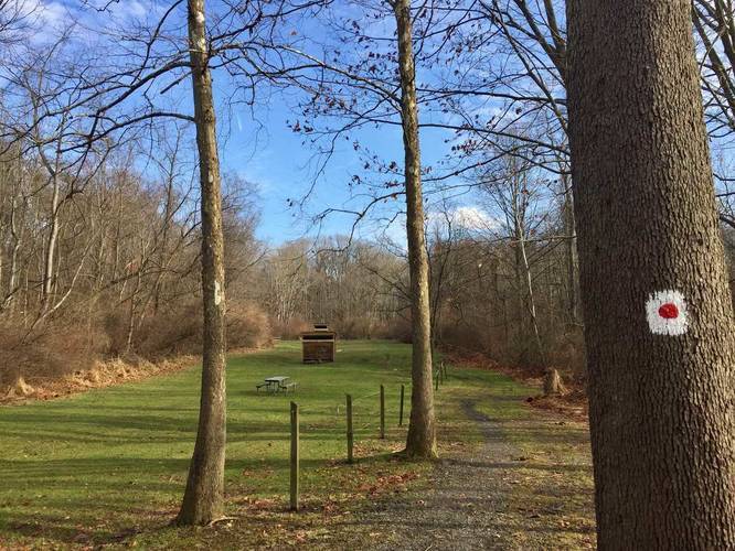
The White & Red Dot Trail at Boyce Park in Plum, Pennsylvania is an easy 1.8 mile one-way hike that leads through the north-central part of Boyce Park. The trailhead can be found near the back of the 1st Lieutenant Neil Anthony Santoriello Memorial Archery Range at the park, so you can find parking at the archery range or just beyond the archery range, in front of the Soccer Field Trail.
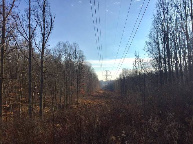
This hike runs throughout the majority of the inside of the White Loop Trail at Boyce Park and eventually runs along the White Loop Trail for a short distance before making a sharp hairpin turn near this trail's southern section. Throughout the hike, you'll pass through the power lines about three times, so you can get some interesting views of the surrounding hills in these sections. The trail is unpaved and lightly-trafficked, but can be muddy after snow melt or recent rainfall. The hike is mostly flat before heading downhill, if you start at the trailhead by the archery range.
Trail connections: You can hop on the White & Black Dot Trail or the White Loop Trail at Boyce Park. To make this hike a 2.2 mile loop, at the end of this trail, take a left and then take your immediate right-hand turn - this is the White & Black Dot Trail and it will lead back to the parking lot at the archery range. To double-check you're on the right trail, check the trees behind you as you hike north, as some blazes can only be found on the opposite side of the trees along the White & Black Dot Trail. Check our Boyce Park GPS map for more details and how to connect to these trails.
Views: There aren't really any views along this trail, but there are a few sections where you pass through power lines and have some views of the surrounding hills.
Dogs and mountain biking are both allowed on this trail.