The White & Black Dot Trail at Boyce Park in Plum, Pennsylvania is an easy 0.4 mile one-way hike that connects the Archery Range to the southern end of the White & Red Dot Trail. This trail is the perfect trail to use as a loop hike along with the White & Red Dot Trail for a total of 2.2 miles, but you can also use this trail to connect to the White Loop Trail at Boyce Park as well.
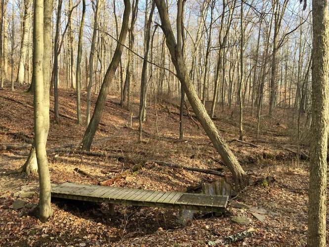
This trail is unpaved and lightly-trafficked that runs along a creek just off of Pierson Run Road. There's a small footbridge about halfway through the hike with small hills that lead down and up from the bridge, but for the most part this trail is very flat. Follow the white and black dot blazes; however, you may notice they're scarce throughout the trail.
Trailhead note: The trailhead on the GPS map is shown on the southern end of this trail since it was tracked from the end of the White & Red Dot Trail.
Loop hike: Take the White & Red Dot Trail for an extra 1.8 miles to turn this trail into a loop hike. If you take the White & Red Dot Trail first, when you reach the end, turn left and head about 30 feet down the White Loop Trail before finding a small trail on your right-hand side - this is the White & Black Dot Trail. Double-check that there's at least one blaze for this trail before proceeding - the blazes might be found on the opposite side of the trees. If you're taking this trail first and then the White & Red Dot Trail, at the end of this trail, take a left, and then your immediate right-hand turn to hit the White & Red Dot Trail.
Dogs and mountain biking are both allowed here.