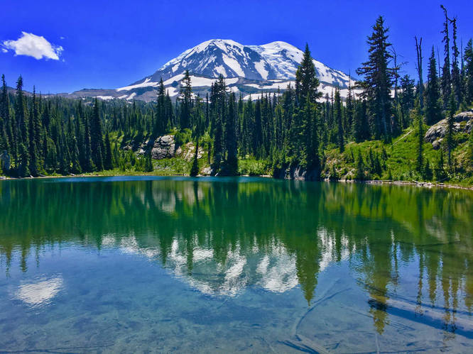
33.0 mi Strenuous One-Way Add to Trailmix: Log in to create a Trailmix What are Trailmixes? Mount Adams Highline Trail - Crystal Lake to High Camp Skamania County, Washington 0
47.6 mi Strenuous One-Way Add to Trailmix: Log in to create a Trailmix What are Trailmixes? John Muir Trail (Duck Pass Trailhead to Vermillion Valley Resort) Mammoth Lakes, California 0
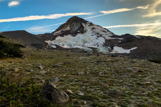
2.7 mi Moderate Loop Add to Trailmix: Log in to create a Trailmix What are Trailmixes? Eliot Glacier Moraine Loop Mount Hood, Oregon 0
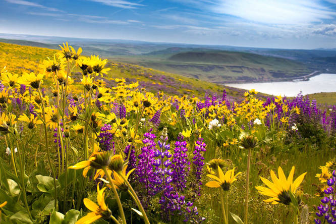
6.5 mi Moderate Loop Add to Trailmix: Log in to create a Trailmix What are Trailmixes? Columbia Hills Vista Loop Trail Centerville, Washington 0
11.4 mi Moderate Loop Add to Trailmix: Log in to create a Trailmix What are Trailmixes? Indian Heaven Lakes Loop via East Crater Trail Trout Lake, Washington 0
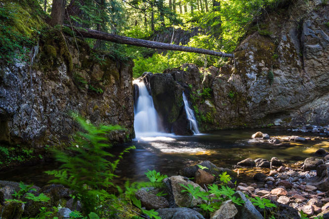
0.6 mi Easy Out-and-Back Add to Trailmix: Log in to create a Trailmix What are Trailmixes? Upper and Lower Little Goose Creek Falls Trout Lake, Washington 0
0.1 mi Easy Out-and-Back Add to Trailmix: Log in to create a Trailmix What are Trailmixes? Big Spring Creek Falls Skamania County, Washington 0
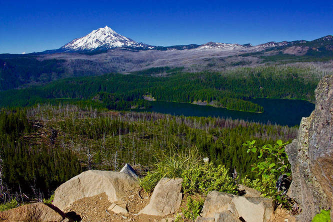
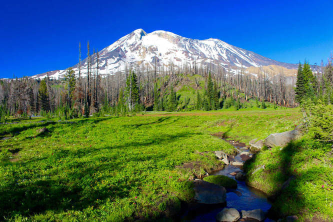
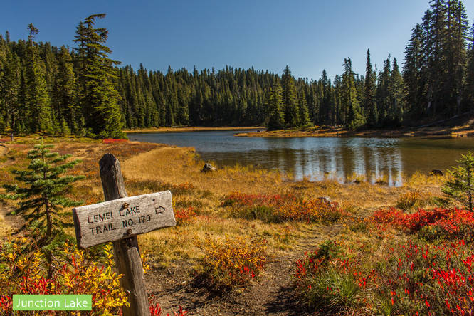
11.5 mi Hard Loop Add to Trailmix: Log in to create a Trailmix What are Trailmixes? Horseshoe Meadow-Lookingglass Lake via Stagman Ridge Skamania County, Washington 0
10.0 mi Moderate Out-and-Back Add to Trailmix: Log in to create a Trailmix What are Trailmixes? Shellrock Lake and Frazier Turnaround Estacada, Oregon 0
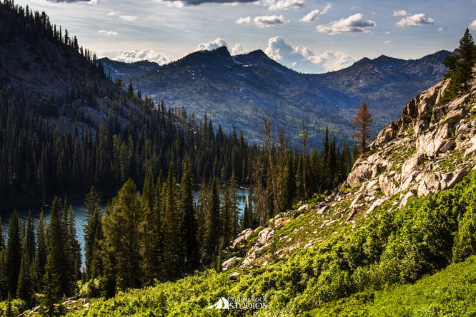
4.5 mi Strenuous Out-and-Back Add to Trailmix: Log in to create a Trailmix What are Trailmixes? Snowslide Lake - Snowslide Summit Hike McCall, Idaho 0
9.1 mi Moderate Out-and-Back Add to Trailmix: Log in to create a Trailmix What are Trailmixes? Marion Mountain via Pine Ridge Trail Sisters, Oregon 0
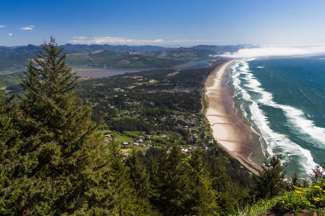
3.3 mi Hard Out-and-Back Add to Trailmix: Log in to create a Trailmix What are Trailmixes? Neahkahnie Mountain Nehalem, Oregon 0
%2FDuck_Lake%20WM_FullRes_20180329150302UTC_small.jpg)
%2FIMG_6347_20180329041153UTC_small.jpg)