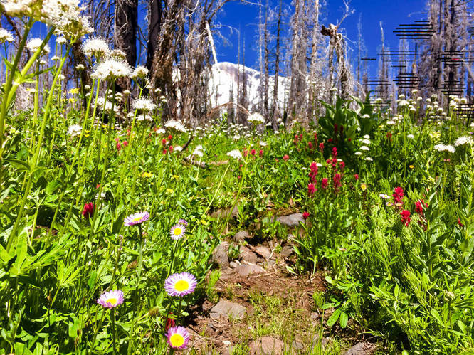
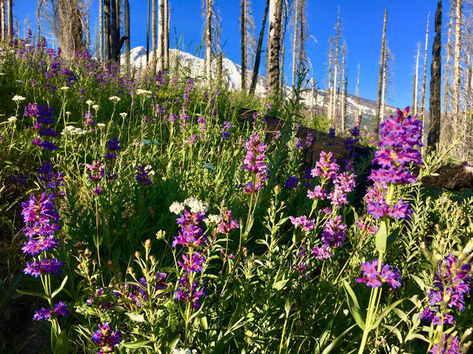
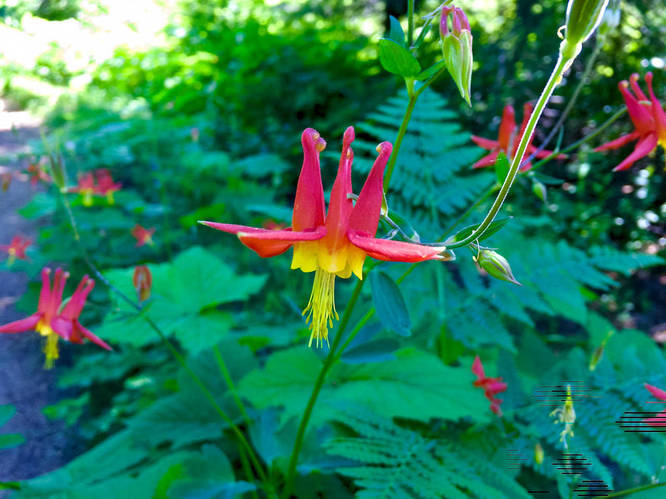
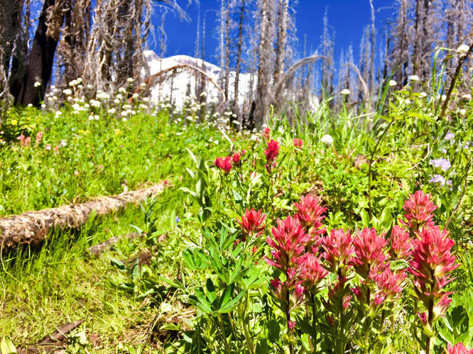
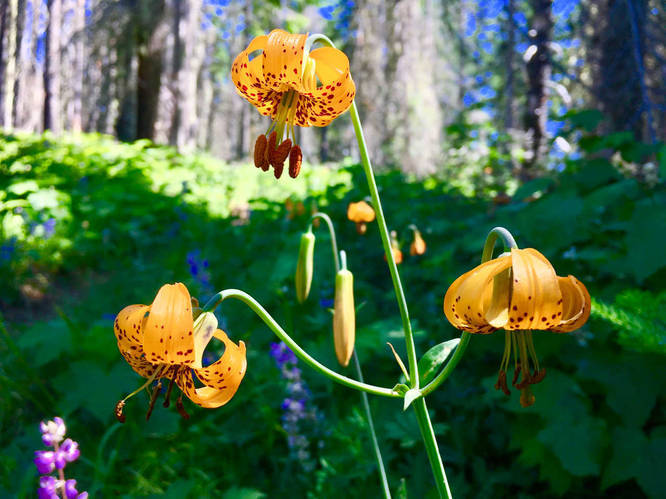
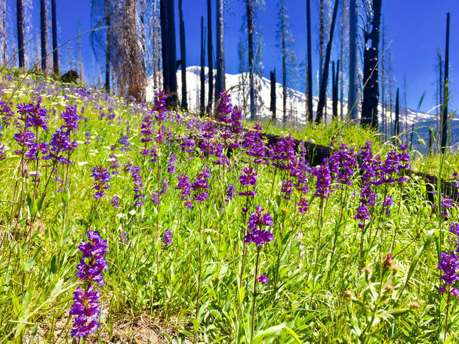
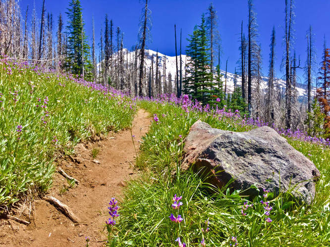
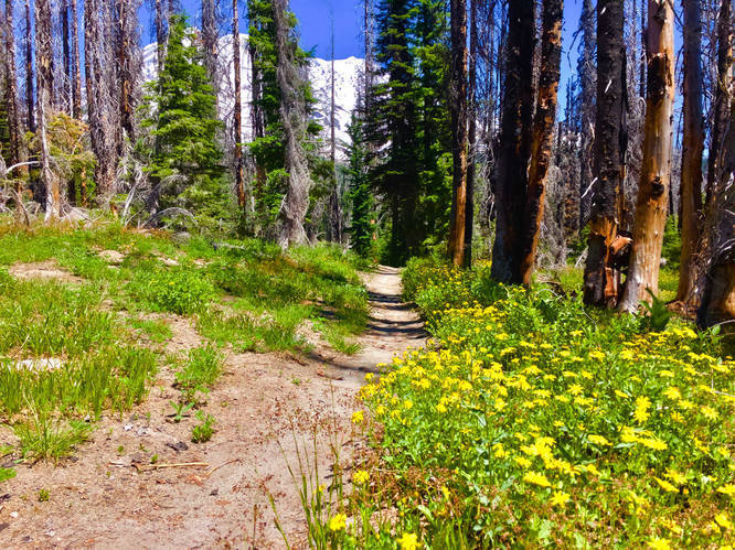
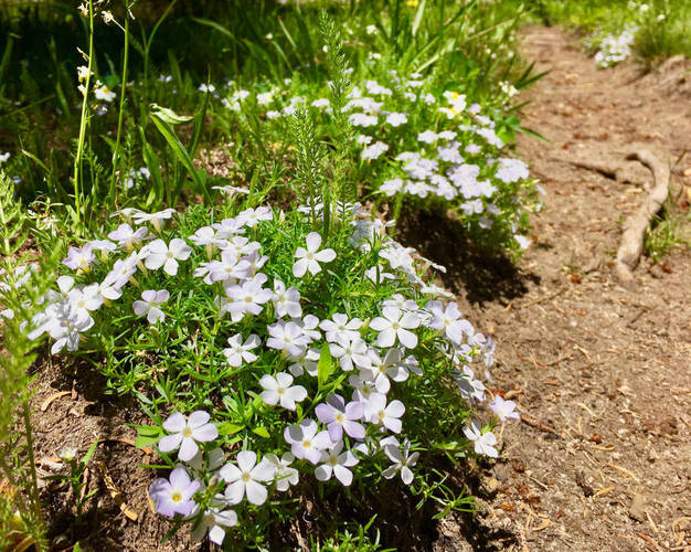
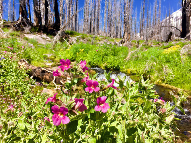
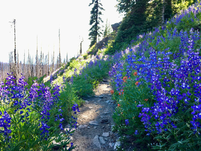
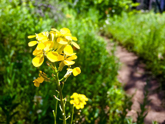
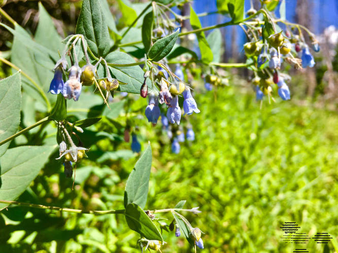
Hike through a previous burn through glorious wildflower displays in season. The Stagman Ridge Trail takes you up the spine of the ridge before joining with the Graveyard Camp Trail, featuring breathtaking views of Mount Adams.
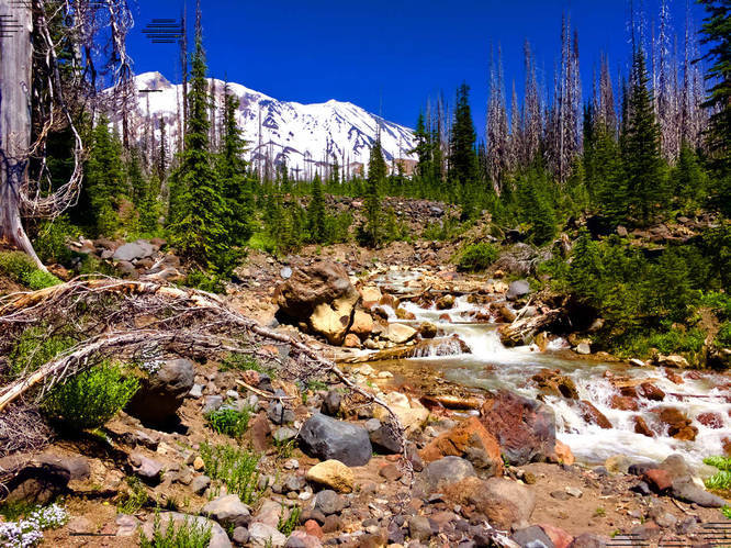
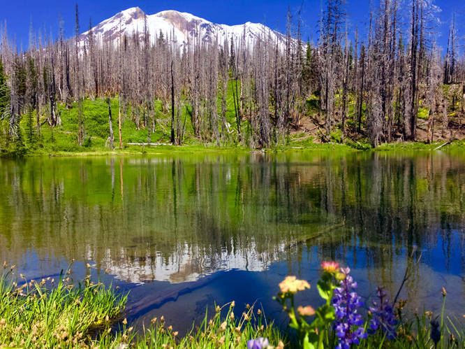
From here, take the Graveyard Camp Trail (to the right, immediately crossing Cascade Creek). Hike across gullies, creeks, and rocky washes before reaching one of the main forks of Cascade Creek. Cross with care, then reach the Lookingglass Lake Trail on the other side (junction is not marked). Turn right, and hike down to Lookingglass Lake.
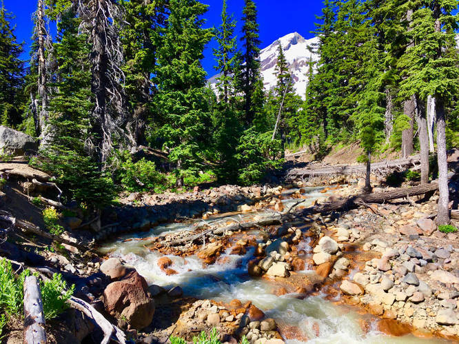
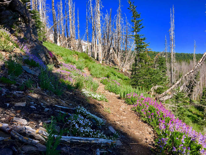
After enjoying the lake, turn back and hike back up to the last junction and continue hiking on the Lookingglass Lake Trail to the Round the Mountain Trail junction. Along the way, pass through numerous small meadows and green subalpine forests. You will cross several branches of Cascade Creek once again, which are less voluminous at this point.
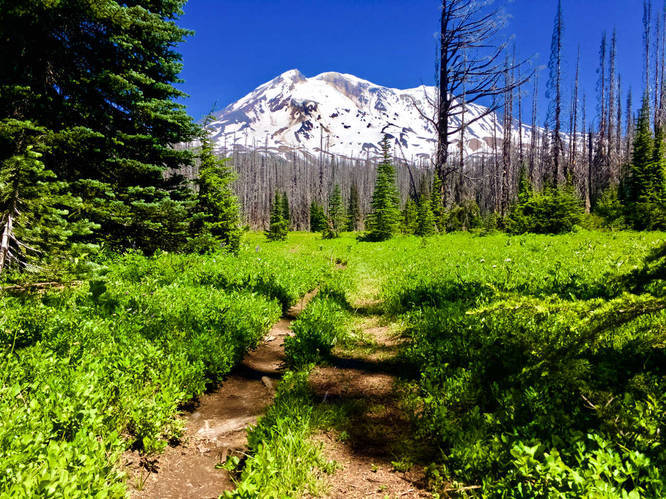
Turn left onto the Round the Mountain Trail. Pass through many small meadows interlaced with subalpine forests and creeks. Soon come up to a huge clearing, Horseshoe Meadow. Mount Adams looms overhead in all her glory. Continue a very short ways to the Pacific Crest Trail junction. Turn left and hike to the Stagman Ridge Trail junction. Turn left onto the Stagman Ridge Trail and reach the junction with the Graveyard Camp Trail. Continue down the Stagman Ridge Trail back to the trailhead.
From here, take the Graveyard Camp Trail (to the right, immediately crossing Cascade Creek). Hike across gullies, creeks, and rocky washes before reaching one of the main forks of Cascade Creek. Cross with care, then reach the Lookingglass Lake Trail on the other side (junction is not marked). Turn right, and hike down to Lookingglass Lake.
After enjoying the lake, turn back and hike back up to the last junction and continue hiking on the Lookingglass Lake Trail to the Round the Mountain Trail junction. Along the way, pass through numerous small meadows and green subalpine forests. You will cross several branches of Cascade Creek once again, which are less voluminous at this point.
Turn left onto the Round the Mountain Trail. Pass through many small meadows interlaced with subalpine forests and creeks. Soon come up to a huge clearing, Horseshoe Meadow. Mount Adams looms overhead in all her glory. Continue a very short ways to the Pacific Crest Trail junction. Turn left and hike to the Stagman Ridge Trail junction. Turn left onto the Stagman Ridge Trail and reach the junction with the Graveyard Camp Trail. Continue down the Stagman Ridge Trail back to the trailhead.