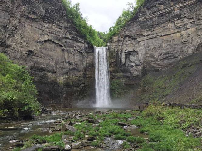
The Taughannock Falls Gorge Trail in Trumansburg, New York is an easy universally accessible 2-mile out-and-back hike to that leads to the 215-foot tall waterfall, Taughannock Falls.
Universal Access
This trail should be considered universally accessible as it follows a wide, very flat, crushed stone path all the way to the view point of Taughannock Falls.
Hike Description
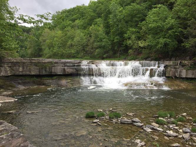
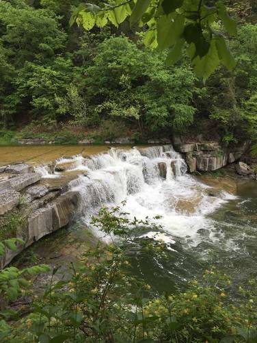
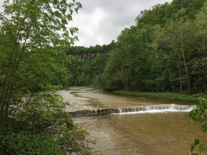
This hike begins at the main parking lot for the Gorge Trail and follows the path in along the flat crushed stone path as it meanders its way southwest through the gorge to reach Taughannock Falls. Along the way, hikers will get stunning views of the gorge and its steep canyon walls and views of other cascading waterfalls that spill down Taughannock Creek.
Eventually the trail will cross a bridge that leads to the end of the trail, where the view of Taughannock Falls can be enjoyed by the hiker. The waterfall is 215 feet tall and cascades over the gorge walls with a thundering road.
When the hike is over, be sure to check out the Taughannock Falls Overlook before you leave the area to get a different, and stunning, perspective of the waterfall you just hiked to.
Popularity
This is one of the most popular hikes in the Ithaca, New York area, so plan on seeing plenty of other people unless you're hiking at opportune times on weekdays.
Parking & Fees
As of August 2023, there's a $9 entrance fee per vehicle. Hikers will find a large parking lot at the coordinates provided.
Pets
Dogs are allowed if leashed and must be cleaned up after.
Universal Access
This trail should be considered universally accessible as it follows a wide, very flat, crushed stone path all the way to the view point of Taughannock Falls.
Hike Description
This hike begins at the main parking lot for the Gorge Trail and follows the path in along the flat crushed stone path as it meanders its way southwest through the gorge to reach Taughannock Falls. Along the way, hikers will get stunning views of the gorge and its steep canyon walls and views of other cascading waterfalls that spill down Taughannock Creek.
Eventually the trail will cross a bridge that leads to the end of the trail, where the view of Taughannock Falls can be enjoyed by the hiker. The waterfall is 215 feet tall and cascades over the gorge walls with a thundering road.
When the hike is over, be sure to check out the Taughannock Falls Overlook before you leave the area to get a different, and stunning, perspective of the waterfall you just hiked to.
Popularity
This is one of the most popular hikes in the Ithaca, New York area, so plan on seeing plenty of other people unless you're hiking at opportune times on weekdays.
Parking & Fees
As of August 2023, there's a $9 entrance fee per vehicle. Hikers will find a large parking lot at the coordinates provided.
Pets
Dogs are allowed if leashed and must be cleaned up after.