The Tannery Hill Hike at Tioga State Forest near Morris, Pennsylvania is a moderate 5.8-mile out-and-back hike that features a mountain ascent of Tannery Hill.
Trails
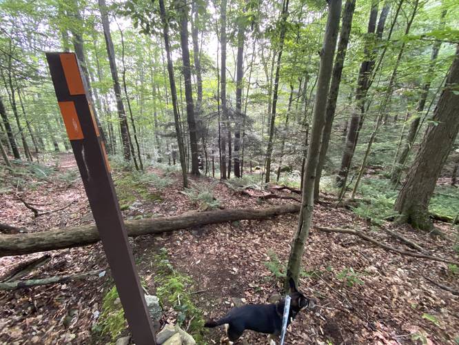
This hike follows the Mid State Trail (orange blazes).
Hike Description
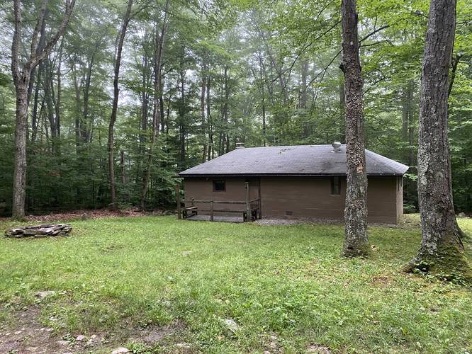
This hike begins along Stony Fork Rd just north of the junction with Clay Mind Rd in a small parking turnout for the Mid State Trail. Hikers will follow the Mid State Trail as it begins the moderate mountain ascent, passing a private leased cabin within the first 0.1-miles.
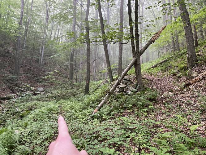
As hikers make their way up the mountain, you'll be hiking up the hollow along Roland Run which has steep slopes that lead down to a seasonal creek. Upon our hike in mid-July 2023 we started in the early morning among the thick fog, but realized that this trail is covered, if not littered, in red-spotted newts / salamanders. We had to watch almost every step to ensure we didn't crush them - seeing approximately 150 newts or so within the 3-hour hike. Note that red-spotted newts can live up to 12-years or so, so please watch your step!
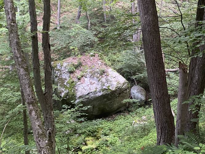
Bouldering / Climbing Boulder - Mile 0.25
Around mile 0.25, hikers may notice a massive glacial erratic (glacial deposit) sitting in the middle of Roland Run, located at least 100-feet below you. This massive boulder could be used by boulderers or backcountry climbers.
Left-Hand Turn - Mile 0.6
Around mile 0.6, hikers will reach a trail junction - keep left here to stay on the Mid State Trail.
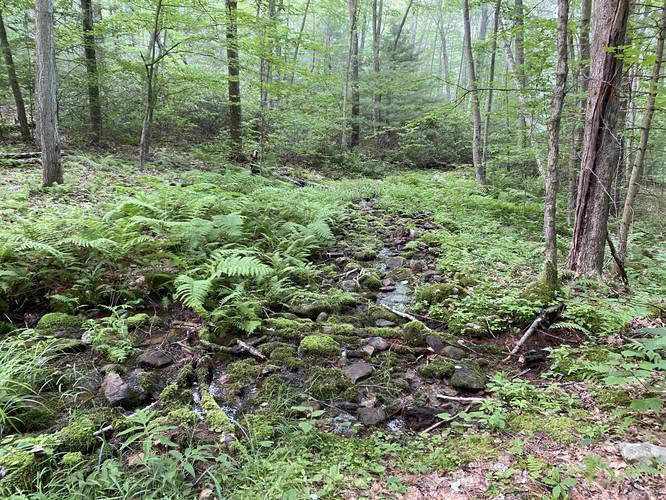
Creek Crossing - Mile 0.8
Around mile 0.8, hikers will reach a creek crossing. During the Summer this seasonal creek is low and easy to cross, however, that's likely not the case during the early Spring.
Plateau Hiking - Mile 0.9 to 2.6 / 3.7 to 4.1
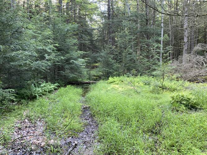
Once hikers pass the creek crossing at mile 0.8, the trail will flatten out as it undulates its way across the backside of Tannery Hill along a plateau. There's not much to see along this section of the trail aside from a peaceful forest walk. There appears to be a mountain-top swamp located to the north of the trail; however, it did not look like there were any interesting views.
Mud - Mile 1.6
Around mile 1.6, hikers will reach a water-logged section of trail where the water can't move. Watch out for mosquitos and don't get your feet wet!
Right-Hand Turn to MST - Mile 2.8
At mile 2.8, hikers will notice a very-sharp right-hand turn that follows the Mid State Trail. Just beyond here is where we turned back on our hike, knowing that Slide Hollow Falls (at the bottom of the mountain) would be dry due to the lack of water in Slide Hollow Run. Note that the turn to follow the MST is a bit weird because by default hikers will want to stay on the easy-to-follow logging grade, but the MST heads down the mountain hollow and follows a very rocky trail.
Hiking Out - Mile 2.9 to 5.8
This hike ends at mile 2.9, on the eastern slopes of Tannery Hill within Slide Hollow; however, you can hike as far as you wish or even go all the way down the mountain to reach Slide Hollow Falls during a season that makes it worth it (i.e. Spring).
Parking
Hikers will find a small parking turnout at the coordinates provided along Stony Fork Road. The lot is large enough to fit a half-dozen vehicles max.
Pets
Dogs are allowed if leashed and should be cleaned-up after.
Camping & Backpacking
Backpacking and camping is permitted off-trail here, but campers must follow all state forest rules and regulations. Note that as of July, 2023 there were no defined campsites along the trail, but at the flat part of the Tannery Hill are plenty of opportunities to create a campsite.
Seasonal Hiking
Note that during the Winter, hikers can start this hike from the opposite end; however, they would need to park on Rattler Mine Road instead since Stony Fork Road is not maintained during the Winter.
Trails
This hike follows the Mid State Trail (orange blazes).
Hike Description
This hike begins along Stony Fork Rd just north of the junction with Clay Mind Rd in a small parking turnout for the Mid State Trail. Hikers will follow the Mid State Trail as it begins the moderate mountain ascent, passing a private leased cabin within the first 0.1-miles.
As hikers make their way up the mountain, you'll be hiking up the hollow along Roland Run which has steep slopes that lead down to a seasonal creek. Upon our hike in mid-July 2023 we started in the early morning among the thick fog, but realized that this trail is covered, if not littered, in red-spotted newts / salamanders. We had to watch almost every step to ensure we didn't crush them - seeing approximately 150 newts or so within the 3-hour hike. Note that red-spotted newts can live up to 12-years or so, so please watch your step!
Bouldering / Climbing Boulder - Mile 0.25
Around mile 0.25, hikers may notice a massive glacial erratic (glacial deposit) sitting in the middle of Roland Run, located at least 100-feet below you. This massive boulder could be used by boulderers or backcountry climbers.
Left-Hand Turn - Mile 0.6
Around mile 0.6, hikers will reach a trail junction - keep left here to stay on the Mid State Trail.
Creek Crossing - Mile 0.8
Around mile 0.8, hikers will reach a creek crossing. During the Summer this seasonal creek is low and easy to cross, however, that's likely not the case during the early Spring.
Plateau Hiking - Mile 0.9 to 2.6 / 3.7 to 4.1
Once hikers pass the creek crossing at mile 0.8, the trail will flatten out as it undulates its way across the backside of Tannery Hill along a plateau. There's not much to see along this section of the trail aside from a peaceful forest walk. There appears to be a mountain-top swamp located to the north of the trail; however, it did not look like there were any interesting views.
Mud - Mile 1.6
Around mile 1.6, hikers will reach a water-logged section of trail where the water can't move. Watch out for mosquitos and don't get your feet wet!
Right-Hand Turn to MST - Mile 2.8
At mile 2.8, hikers will notice a very-sharp right-hand turn that follows the Mid State Trail. Just beyond here is where we turned back on our hike, knowing that Slide Hollow Falls (at the bottom of the mountain) would be dry due to the lack of water in Slide Hollow Run. Note that the turn to follow the MST is a bit weird because by default hikers will want to stay on the easy-to-follow logging grade, but the MST heads down the mountain hollow and follows a very rocky trail.
Hiking Out - Mile 2.9 to 5.8
This hike ends at mile 2.9, on the eastern slopes of Tannery Hill within Slide Hollow; however, you can hike as far as you wish or even go all the way down the mountain to reach Slide Hollow Falls during a season that makes it worth it (i.e. Spring).
Parking
Hikers will find a small parking turnout at the coordinates provided along Stony Fork Road. The lot is large enough to fit a half-dozen vehicles max.
Pets
Dogs are allowed if leashed and should be cleaned-up after.
Camping & Backpacking
Backpacking and camping is permitted off-trail here, but campers must follow all state forest rules and regulations. Note that as of July, 2023 there were no defined campsites along the trail, but at the flat part of the Tannery Hill are plenty of opportunities to create a campsite.
Seasonal Hiking
Note that during the Winter, hikers can start this hike from the opposite end; however, they would need to park on Rattler Mine Road instead since Stony Fork Road is not maintained during the Winter.