The Sulphur Springs Mountain Summit Trail at the Hiddenbrooke Open Space in Vallejo, California is an easy 0.4-mile out-and-back trail that leads from the Hiddenbrooke Trail up to the summit of Sulphur Springs Mountain and features beautiful views.
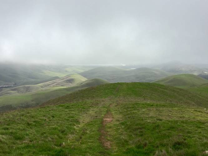
This short and easy trail is not the easiest trail to reach as hikers will first need to hike in on the Hiddenbrooke Trail to reach this one. The hike up to Sulphur Springs Mountain is well worth it as the views on the way up are just as good as the views from the summit.
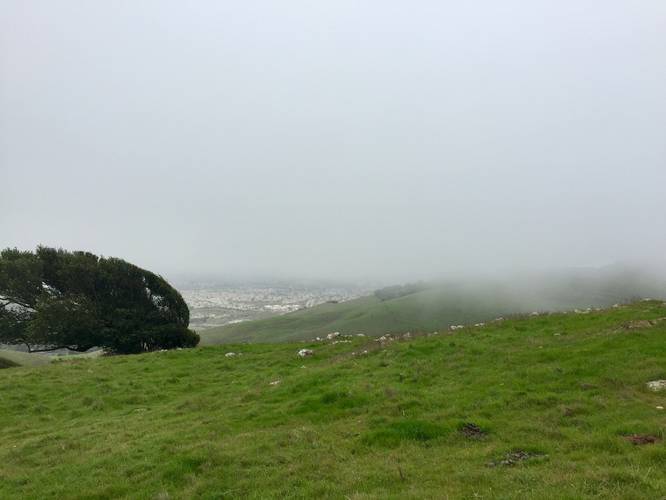
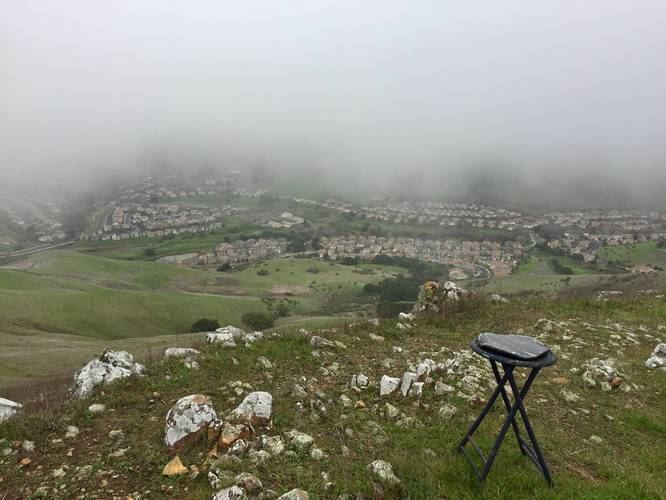
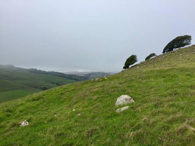
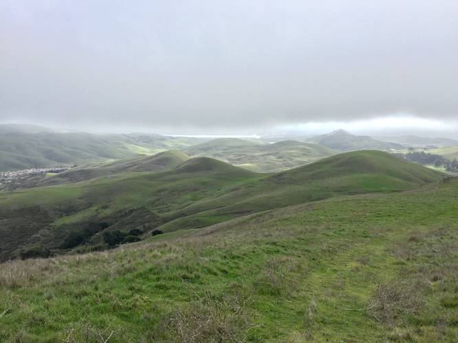
From the summit, you'll get views of the San Pablo Bay and Mount Tamalpais on clear days. To the east, you'll get a neat view of the Hiddenbrooke neighborhood which is filled with rows upon rows of copy/paste houses. Hikers should be aware that sometimes clouds will roll in unexpectedly, so bringing an extra layer of clothing just in case.
Parking
Hikers can find parking along the side of the road at the coordinates provided. The road itself has a closed gate and does not allow thru-traffic. The road has many houses near the parking area, so be mindful.
Trailhead
This trailhead is found next to the parking area and next to the road gate. There's some signage and some cut grass that shows where the trail follows uphill; however, it's not easy to spot right away.
Pets
Dogs are allowed if leashed and their waste must be carried out by the hiker. It's also best to keep dogs on leash as this open space will often have cows roaming the hillsides.
This short and easy trail is not the easiest trail to reach as hikers will first need to hike in on the Hiddenbrooke Trail to reach this one. The hike up to Sulphur Springs Mountain is well worth it as the views on the way up are just as good as the views from the summit.
From the summit, you'll get views of the San Pablo Bay and Mount Tamalpais on clear days. To the east, you'll get a neat view of the Hiddenbrooke neighborhood which is filled with rows upon rows of copy/paste houses. Hikers should be aware that sometimes clouds will roll in unexpectedly, so bringing an extra layer of clothing just in case.
Parking
Hikers can find parking along the side of the road at the coordinates provided. The road itself has a closed gate and does not allow thru-traffic. The road has many houses near the parking area, so be mindful.
Trailhead
This trailhead is found next to the parking area and next to the road gate. There's some signage and some cut grass that shows where the trail follows uphill; however, it's not easy to spot right away.
Pets
Dogs are allowed if leashed and their waste must be carried out by the hiker. It's also best to keep dogs on leash as this open space will often have cows roaming the hillsides.