Loading...

Distance:
0.5 Miles / 0.8 km
Type:
Out-and-Back
Difficulty:
Easy
Time to Hike:
~15 minutes
Features:
Surface Type:
Dirt
Park:
Tonto National Forest
Town:
Fort McDowell, Arizona
Directions:
33.553171, -111.622352
Added:
January 08, 2019
Updated:
January 08, 2019
Loading...
Loading...
35 '

Total Change
35 '

Ascent
35 '

Descent

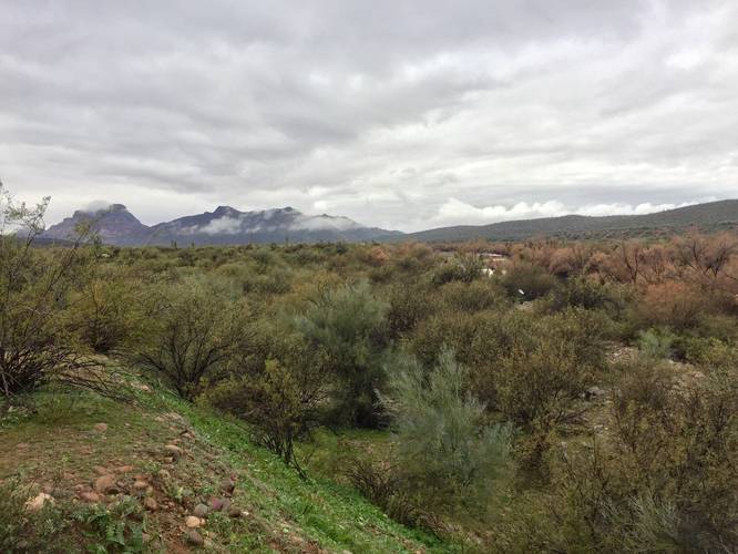
The Salt River Overlook Trail at Tonto National Forest in Fort McDowell, Arizona is an easy 0.5 mile out-and-back hike from the Salt River Recreation area over to a lookout point along the Salt River.

The trail starts out at the southwest corner of the main parking lot and heads south before quickly heading back north towards the river. Shortly after taking a right-hand turn to head north, the trail will then head west and run along the Salt River to a lookout point.

Wild horses: This trail can also be used to search for wild horses as the horses use this trail to drink from the river; however, it's not guaranteed you'll see a wild horse. The best time of day to see them is within the first couple of hours after sunrise or the first couple of hours before sunset.

Explore 12 trails near Fort McDowell, AZ
  1. Parking

    33.553171, -111.622352
  2. Main Trailhead

    33.552929, -111.622538
  3. View of the Salt River and neighboring mountains

    33.553333, -111.625144
    View of the Salt River and neighboring mountains
No community routes found. To add your own hike as a Community Route for this Trail guide, leave a Trip Report with an attached GPX file.

Hazards

Snakes

Seasons

All

Photo Albums

2 Trip Reports

No Star-Ratings
Trail Guide By:
Admin user profile picture
0.5 miles / 0.8 km
Trail added
January 08, 2019
Hiked on
January 06, 2019
Updated on
January 08, 2019
0.5 miles / 0.8 km
January 06, 2019
Hiking

Weather Forecast

In Fort McDowell, AZ

Explore Hiking Trails

New Hikes

Shortoff Trail
5.5 Miles
8.9 km
Hard
Out-and-Back
Lake Estes Trail
0.9 Miles
1.4 km
Easy
Out-and-Back
Beaver Ponds Trail
0.1 Miles
0.2 km
Easy
Out-and-Back
Mary's Lake Trail
0.6 Miles
1 km
Easy
Out-and-Back

Before you boogie...

Find our trail guides useful? Consider becoming a Supporter to unlock perks!

MyHikes is an indie platform that makes exploring public trails easier for everyone. The platform has no investors, runs no ads, and is owned and operated by one person, Dave Miller. Dave has personally mapped and written over 1,600 trail guides on MyHikes for the public to explore. As of 2024, MyHikes has helped over 1,300,000 outdoor enthusiasts plan their next adventure.

But it takes a lot of time 🕦, money 💰, and work, and espresso shots ☕ to run MyHikes, including hiking , mapping , writing , and publishing new trails with high-quality (accurate) information... along with software engineering (coding) the platform like building new features, site and mobile app development for iOS and Android, site maintainance . and much much more.

Supporters unlock website and mobile app perks with an annual one-time payment of $25 (you renew) 😎👍. Or you can simply make a Donation of your choice. Otherwise, you can support us by telling your friends about MyHikes - both quick and free 🎉

Admin user profile picture

Dave Miller
MyHikes Founder