The Rock Garden Accessible Loop at Royal Botanical Gardens in Hamilton, Ontario is an easy 0.6 km universally-accessible trail that features beautiful views of the rock gardens.
Walk
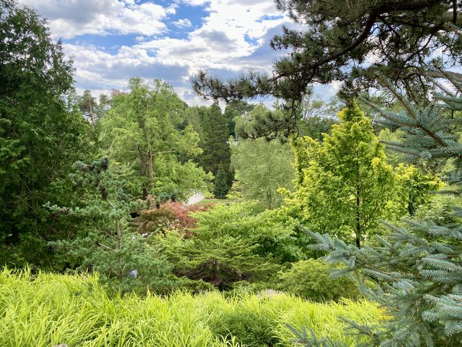
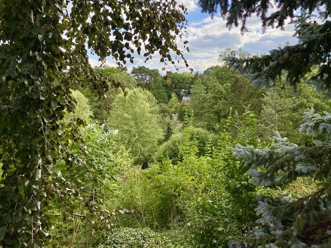
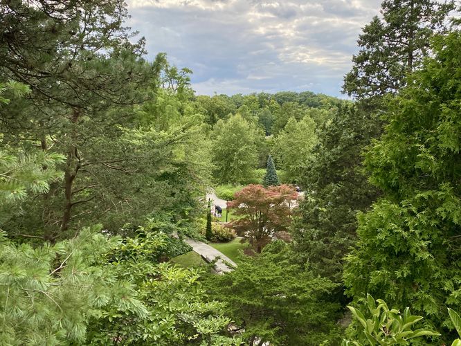
This walk begins at the main entrance building where visitors will find the real trailhead located just outside of the building. This trail encompasses the entire rock garden, so when you reach the trailhead sign you can choose which part of the loop to follow first -- this route heads counter-clockwise, so it heads westward (downhill) from the trailhead. Depending on the time of year you visit will determine what you find along the trail, but the "best" time of year to visit is during warmer months when the plants have vegetation and possibly flowers. When we visited during August, we found the rock garden popping with flowers like hibiscus and native wildflowers, making for a beautiful landscape to walk through. The trail leads downhill, passing views of water features that sit in the middle of the rock garden, before it circles back by heading uphill. On the east side of the loop, after it climbs back uphill, visitors will find views that peer down into the rock garden below. After exploring the views, the trail loops back to the main trailhead for a short 0.6 km walk.
Connection with Albion Falls
Visitors may not know that portions of the rock garden were built with boulders and rocks from the Albion Falls area.
Universal Access
This trail is fully paved and universally accessible and is the only universally-accessible trail at the RBG Rock Garden.
Parking
The main parking lot is located on the east side of York Blvd. The parking lot is very large and can fit many dozens of vehicles as of August 2024.
Pets
Well-behaved dogs are allowed on the trails within RBG but must be leashed and cleaned up after.
Walk
This walk begins at the main entrance building where visitors will find the real trailhead located just outside of the building. This trail encompasses the entire rock garden, so when you reach the trailhead sign you can choose which part of the loop to follow first -- this route heads counter-clockwise, so it heads westward (downhill) from the trailhead. Depending on the time of year you visit will determine what you find along the trail, but the "best" time of year to visit is during warmer months when the plants have vegetation and possibly flowers. When we visited during August, we found the rock garden popping with flowers like hibiscus and native wildflowers, making for a beautiful landscape to walk through. The trail leads downhill, passing views of water features that sit in the middle of the rock garden, before it circles back by heading uphill. On the east side of the loop, after it climbs back uphill, visitors will find views that peer down into the rock garden below. After exploring the views, the trail loops back to the main trailhead for a short 0.6 km walk.
Connection with Albion Falls
Visitors may not know that portions of the rock garden were built with boulders and rocks from the Albion Falls area.
Universal Access
This trail is fully paved and universally accessible and is the only universally-accessible trail at the RBG Rock Garden.
Parking
The main parking lot is located on the east side of York Blvd. The parking lot is very large and can fit many dozens of vehicles as of August 2024.
Pets
Well-behaved dogs are allowed on the trails within RBG but must be leashed and cleaned up after.