This short section of the Reynolds Spring Trail at Tioga State Forest's Reynold Spring Natural Area near Cedar Run, Pennsylvania is an easy 0.5-mile out-and-back trail that heads directly into the northeastern section of the swamp in search of native wild orchids.
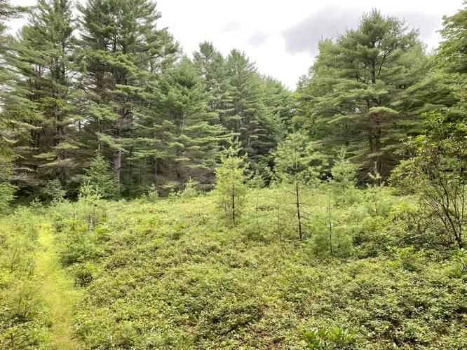
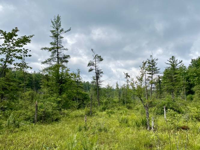
This track was recorded on July 21, 2021 as a quick swamp hike in search of native wild orchids to Pennsylvania. Unfortunately I was too late as any orchids that flowered here were no longer in bloom. Despite the lack of wild orchids, this mountain top swamp is quite unique for Pennsylvania as the ecosystem looks and feels a lot more like the woods of Maine. The swamp is filled with sphagnum moss, pine trees, mountain laurel, blueberry bushes, and mushrooms. The best part about this hike were the abundant blueberries that were found right along the trail about 200-feet from the parking lot; however, this is also clearly bear territory and a great feeding spot for black bear - as I found plenty of black bear scat along the trail - so watch out when exploring this area.
Hiking the Swamp
This track leads directly into the swamp and heads in for about 100-feet or so before turning back. Hikers must wear waders, waterproof boots, and bring trekking poles to ensure that you stay on the bouncy, but stable sphagnum moss bed. It's impossible to tell how deep the swamp actually is, so you don't want to get sucked under, especially wearing waders. At one point, I was able to push my trekking poles almost 80% into the sphagnum moss, which indicated that the water below may be at least 2-feet deep if not deeper. With a lack of cell service in this area, the wrong move in this swamp could be deadly, so be careful and watch your steps.
Parking
Hikers will find parking near the coordinates provided just off of Reynolds Spring Road.
Pets
Dogs are allowed if leashed and their waste must be carried out by the hiker.